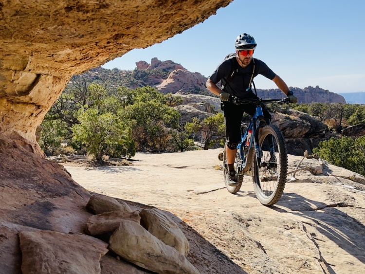
The Raptor Route serves as a new finish to the iconic Whole Enchilada route. Once fully completed, Raptor Route will comprise 10 miles of all-new singletrack descending into the Sand Flats Recreation Area.
The goal of the Raptor Route is to allow for an easier way to finish the grueling Whole Enchilada route. The classic finish on Porcupine Rim “is extremely technical at a point where riders are often exhausted and dehydrated,” according to Rachel Fixsen in the Moab Sun News. “Search and Rescue personnel have responded to many incidents on the Porcupine Rim trail, which is in a remote area,” she continues.
“Have responded” is a bit of a euphemism that covers up the seriousness of Porcupine Rim. While not all Search and Rescue responses to Porcupine Rim have been due to fatalities, Porcupine Rim is quickly turning into one of the deadliest trails in Moab. Several mountain bikers and even a hiker have died on the trail, most of them due to dehydration, according to a series of articles published in local news outlets.
Local authorities hope that the addition of the Raptor Route will give mountain bikers an easier alternative to finish the grueling Whole Enchilada ride. While riders already had the option to detour off the route and finish by descending the Sand Flats road, the prospect of losing most of your elevation on a road is one that most mountain bikers will avoid — some, to their peril.
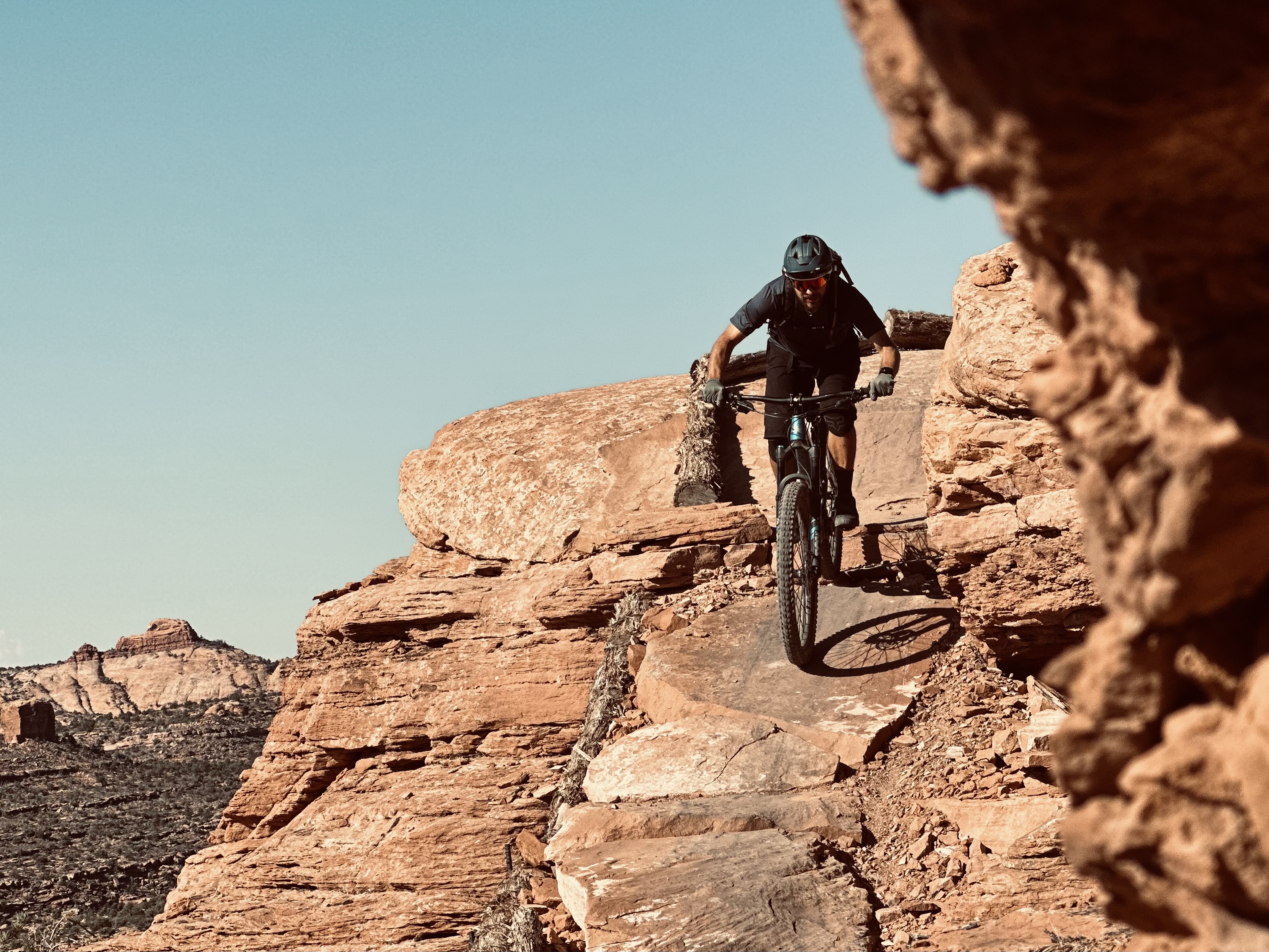
Even if you do bypass Porcupine Rim, riding the entire Whole Enchilada with the Raptor Route finish is still no joke. This “easier” version of TWE still measures almost 32 miles long (to return to Poison Spider bike shop, a popular shuttle pickup spot) with over 2,260 feet of elevation gain and 8,780 feet of elevation loss.
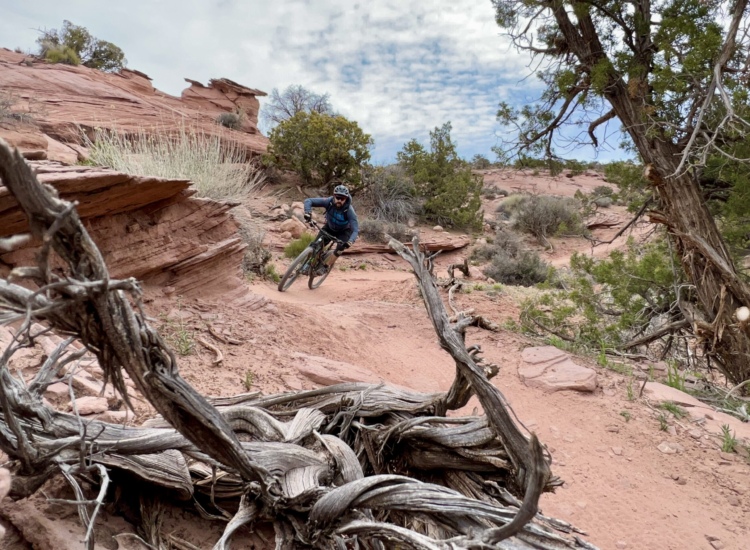
The primary difference with the Raptor Route is that it eases off the gas as the ride wears on and you wear out. In contrast, finishing on Porcupine Rim essentially saves the most demanding riding for last.
 | Eagle Eye | 3 mi | |
 | Falcon Flow | 5.4 mi | |
| Hawks Glide | 2 mi | |
| Kestrel Run | 2 mi |


This is an absolutely brilliant trail ! Must ride! One of the best non technical trails I"ve ever ridden. Stupid fun.
| Thank