Head South on Kennison Mountain Trail skirting Blue Knob to the West. Turn right on Pocahontas Trail #263, crossing a grassy road heading west. At the intersection of Pocahontas Trail #263 and Fork Mountain Trail - East Section, go left.
Follow the singletrack for a climb and descent that leads over Hill Creek (rideable unless just after a rain). When you encounter a paved trail, follow it to the Falls of Hills Creek parking lot. From there, continue to Highway 39/55 and turn left (west) for just over a mile-and-a-half of easy paved pedaling to reach Bear Run Road.
A four mile gravel road climb takes riders to the top of Fork Mountain and handily avoids the Fork Mountain Trail - Water Bar Section which would be absolute misery to try and climb because of the massive water bars. At the top, continue on the Fork Mountain Trail - Ridge Section for 13-miles of rugged and scenic singletrack that follows the trace of a hand-laid road.
When you come to the gravel road (FSR #946), turn left and follow it down to a yellow metal gate which you can pass on the right, turn right and follow the paved road into Richwood.
You can ride this as a 72-mile loop for the very fit, known locally as the Yew Mountain Doozy - check its Facebook page. Yes, there really is one and it's a Doozy.
Drinking water and restrooms at the Nature Center, 1 mile east of Kennison Mtn parking lot.


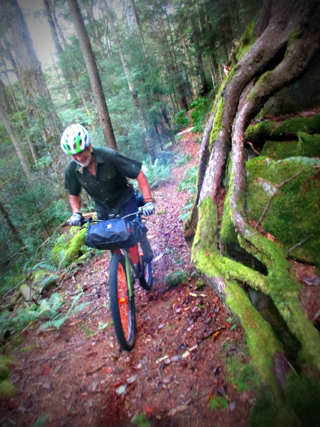

Classic, old school deluxe riding. Rooty, rocky and rambunctious. Mostly downhill with several punchy climbs.
| Thank