×

|
Rate it:
Tags:
Level: Beginner
Length: 7 mi (11.3 km)
Surface: Singletrack
Configuration: Network
Elevation: +61/ -61 ft
Total: 7 riders
Mountain Biking Phillips Lake North Shoreline Trail #1608
#137 of 321 mountain bike trails in Oregon
The Phillips Lake North Shore trail traverses the northern banks of Phillips Reservoir connecting Mason Dam Boat Launch, Union Creek Campground, Social Security Point, Mowich Loop to a western access point near Hudspeth Lane. Throughout the year trail users will encounter outstanding views while traveling through young growth ponderosa pine forests, grasslands, meadows and historic rock dredge piles bordering the reservoir. Numerous coves and inlets provide opportunities for viewing waterfowl, shorebirds and deer. As a year-round facility, visitors can enjoy the trail for hikes, on their mountain bikes or on crosscountry skiis. This trail is one of several mountain bike, hiking and equestrian trails that is found in the Phillips Lake Trail system.
Advisory: The westernmost portion of the trail past Mowich Loop Picnic Area may be underwater in the early Spring when the reservoir is at its fullest.
Difficulty level: Although there are some short sections with moderate grades, the trail is at an 'easy to more difficult' level.
Maps: The Phillips Lake North Shore trail overview and map (210 KB) provides a quick one page overview of the trail, the facilities and directions on how to get there. The Phillips Lake Trail map (1.2 Mb, PDF) shows more details for the northern and southern trails around the lake and adjacent area.
First added by Chris_Barber on Oct 9, 2014. Last updated Apr 28, 2020. → add an update
Before you go
- Drinking water: unknown
- Drinking water: unknown
- Lift service: unknown
- Lift service: unknown
- Night riding: unknown
- Night riding: unknown
- Pump track: unknown
- Pump track: unknown
- Restrooms: unknown
- Restrooms: unknown
- Fat bike grooming: unknown
- Fat bike grooming: unknown
- E-bikes allowed: unknown
- E-bikes allowed: unknown
- Fee required: unknown
- Fee required: unknown
This trail information is user-generated. Help improve this information by suggesting a correction.
Eastern side: From Baker City, Oregon travel south on Highway 7 towards John Day, Oregon for about 17 miles to the Mason Dam Boat Launch road (also shown as Forest Road 200); Turn left off Highway 7 and go down about 0.3 miles to the Mason Dam Boat Launch; The trail begins on the slope above the toilet. This is the eastern access point.
Western side: You can also access the trail near the upper end of Phillips Lake; To get to this western access point, travel south from Baker City on Highway 7 towards John Day, Oregon for about 22 miles to Hudspeth Road located at the upper end of the lake; Turn left off of Highway 7 on Hudspeth Road and go 0.5 miles to a large gravel parking area on your left; Go around the circular parking area and look for a small wood trail sign; The trail begins on the northern side of the parking area going through the rock dredge piles and eventually along the lake.
Some visitors also access the middle of the trail at Mowich Loop Picnic Area, Social Security Point Trailhead or Union Creek Campground. There is a day-use fee when parking at Union Creek campground during the Summer-Fall months


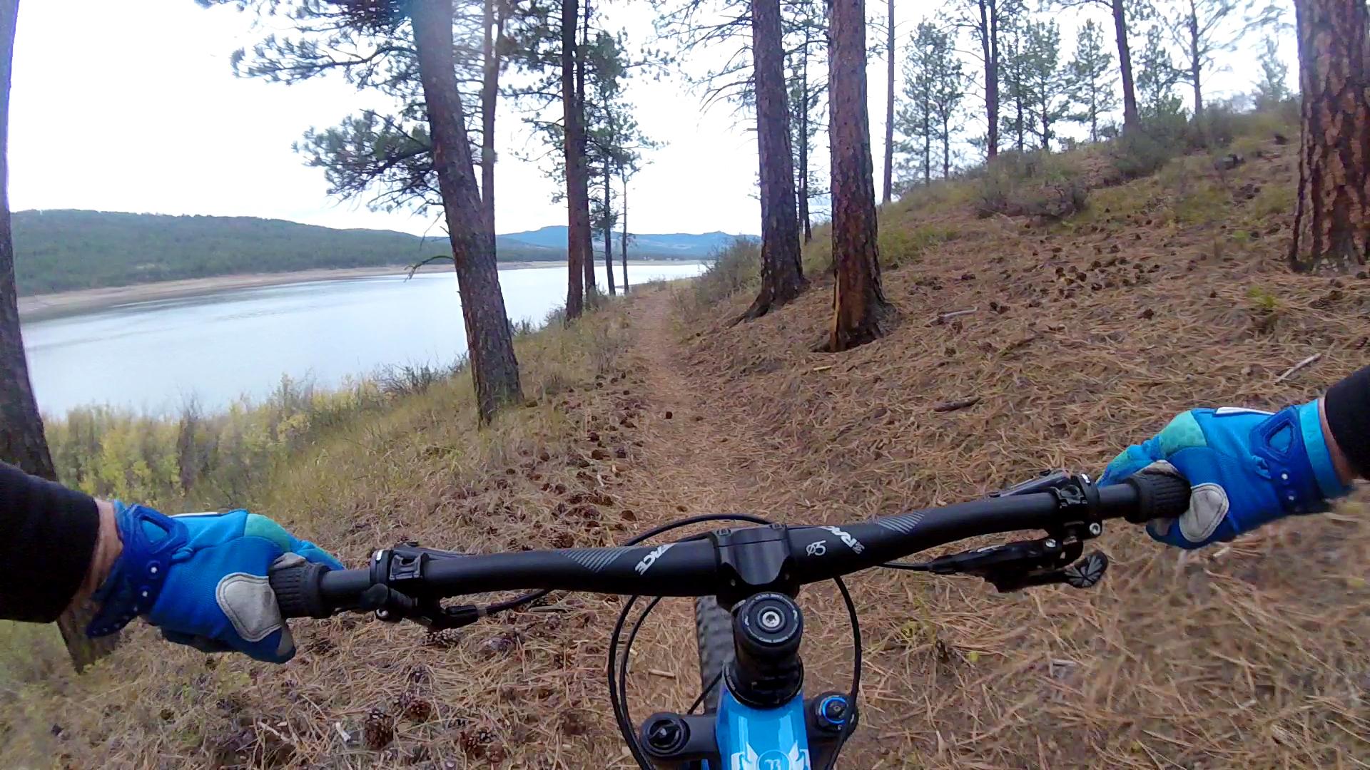

We rode this trail in conjunction with the South Shoreline Trail to make a loop around the lake. The trail picks up at the boat launch a little way up the road from the dam. More of the same flowy singletrack. There's a bit of pavement through a campground. Interesting routing through the lowlands at the western end.
| Thank