×

|
Rate it:
Tags:
Level: Intermediate
Length: 12 mi (19.3 km)
Surface: Singletrack
Configuration: Loop
Elevation: -
Total: 2 riders
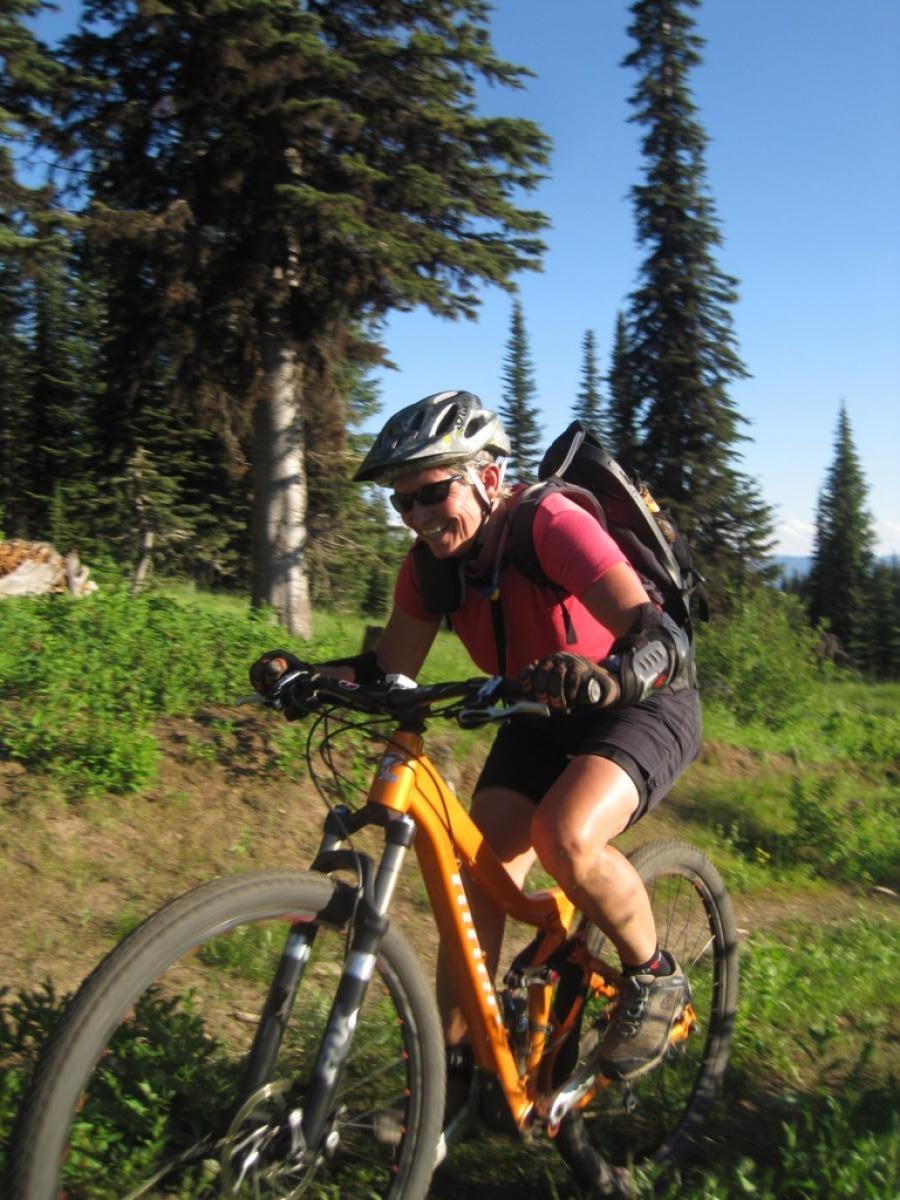
Mountain Biking Payette Rim Ride
#116 of 335 mountain bike trails in Idaho
This trail needs a map or a guide the first time. Climb FS 451 for 3.27mi. Turn rt at the gated road. Follow the road to the rock cairns and find the singletrack. Yes, this is tricky, but it's worth it. Ripping singletrack all the way back to the corral.
First added by wayndar on Aug 7, 2015. Last updated Apr 23, 2020. → add an update
Before you go
- Drinking water: unknown
- Lift service: unknown
- Night riding: unknown
- Pump track: unknown
- Restrooms: unknown
- Fat bike grooming: unknown
- E-bikes allowed: unknown
- Fee required: unknown
This trail information is user-generated. Help improve this information by suggesting a correction.
From McCall ride or drive west on Hwy55 North and turn right on Brundage Lookout road. Park at corral parking area. This one will require a map.


good challenge to climb with some technical areas of rocks. Not very difficult in how steep of a trail to climb, moderate. It is a blast coming down. Tricky to find but do-able. Take Brundage lookout road about a mile and park large parking area on left which has long wooden rail fence, can't miss the area. continue on bike up road and pass a dirt road on right which is about 20 yards past parking. About 30-50 yards past dirt road look for very narrow dirt trail on right. Take that towards lake, and eventually it connects with rim trail, which you can tell by well worn path. Go left and ride rim tail to till it ends at dirt fire road with zen rock piles. If you miss small narrow trail after parking lot, continue up road to first 4 way intersection of dirt roads, green gate is on right. Go past gate about 1/2 mile and when you come to first field of large boulders, go right, through field no more than 100 yards and you will come to rim trail and go left to the end. Worth the effort to find.
| Thank