×

|
Rate it:
Tags:
Level: Intermediate
Length: 4 mi (6.4 km)
Surface: Singletrack
Configuration: Network
Elevation: -
Total: 2 riders
Mountain Biking Ohio View Connector Trail
#65 of 117 mountain bike trails in Ohio
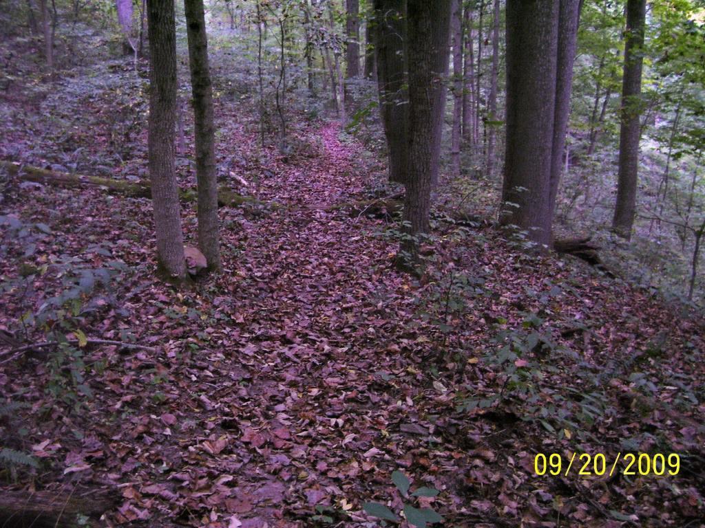
The trail connects to Ohio View Trail about 1.5 miles south of the northern terminous of the Ohio View Trail. It will connect to Archers Fork Loop / North Country Trail after crossing Leith Run Rd. Great to use in making several optional loops through the Wayne National Forest.
First added by Outdoornut on Dec 4, 2009. Last updated May 1, 2020. → add an update
Before you go
- Drinking water: unknown
- Lift service: unknown
- Night riding: unknown
- Pump track: unknown
- Restrooms: unknown
- Fat bike grooming: unknown
- E-bikes allowed: unknown
- Fee required: unknown
This trail information is user-generated. Help improve this information by suggesting a correction.
This trail can be accessed off County Rd. #9 about 1/4 mile south of Jackson Run Rd. ( at point where trail crosses the road ). It is used to connect Ohio View Trail to Archers Fork Loop / North Country Trail which creates several opportunities for different loops to be ridden without including road miles.


Please note the trails in the Wayne National Forest are close from mid December to mid April. Good time to help local mtn bike club with trail building and maintenance. See rvmba.com (will take you to our current site) if you would like to help. Work parties are posted frequently.
| Thank