×

|
Rate it:
Tags:
Level: Intermediate
Length: 10 mi (16.1 km)
Surface: Singletrack
Configuration: Network
Elevation: +288/ -293 ft
Total: 6 riders
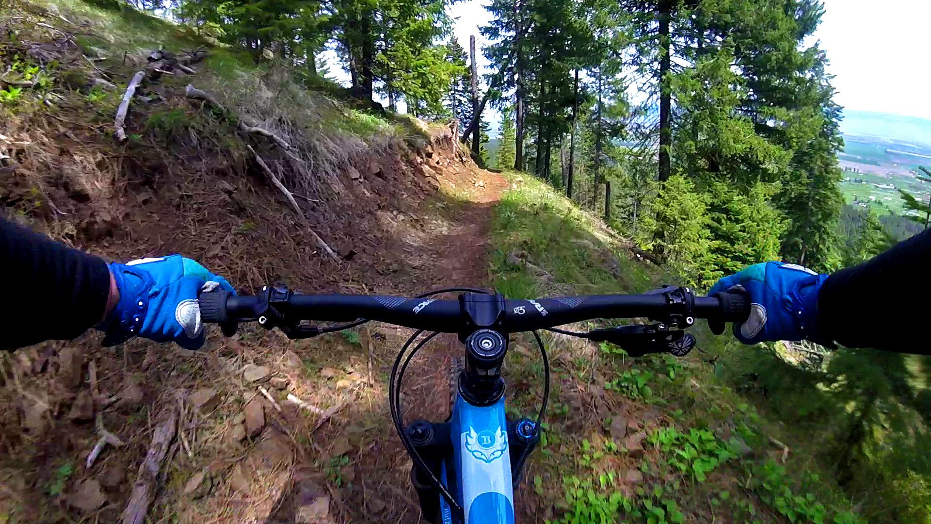
Mountain Biking Mt. Emily
#125 of 309 mountain bike trails in Oregon
All the trails are singletrack and were built with flow and allows two way traffic.
First added by alexander323 on Sep 30, 2011. Last updated Apr 28, 2020. → add an update
Before you go
- Drinking water: unknown
- Lift service: unknown
- Night riding: unknown
- Pump track: unknown
- Restrooms: unknown
- Fat bike grooming: unknown
- E-bikes allowed: unknown
- Fee required: unknown
This trail information is user-generated. Help improve this information by suggesting a correction.
There are two access point to this trail system. The first trailhead is at Owsley Canyon Road. The other is from Igo Lane.


Great system of trails! Well marked and an awesome map to follow. Kudos to Steadyeddy and others involved with building. Well maintained and lots to ride.
| ThankI am the land manager for MERA. We have improved the pre-existing trails at MERA and have developed an additional 20 miles of singletrack over the past 5 years, close to 50 miles of non-motorized trails. Plenty of elevation to climb and have a blast on the way down. Find our updated map on the Union County website. It's worth the trip!
| ThankGrew up riding these trails so I am biased. These are great trails to ride in the spring to late fall. Perhaps not worth a long trip for as some other oregon trails are, but great for anyone in the area looking for a good ride. The most fun trail rides down from the rock quarry. Fast and fun ride for intermediate riders. Beautiful views of Grande Rhonde valley.
| ThankThis trail is o.k at best. Go to the Mountain Works in town and talk to Whit and if you're lucky he'll drag you around Xterra or Anthony Lakes. Be sure to tell him Ryan sent you and buy him a beer or two afterwards.* Review edited 8/15/2012* Review edited 8/15/2012
| Thank