×

|
Rate it:
Tags:
Level:
Length: 8 mi (12.9 km)
Surface: Singletrack
Configuration: Out & Back
Elevation: -
Total: 1 riders
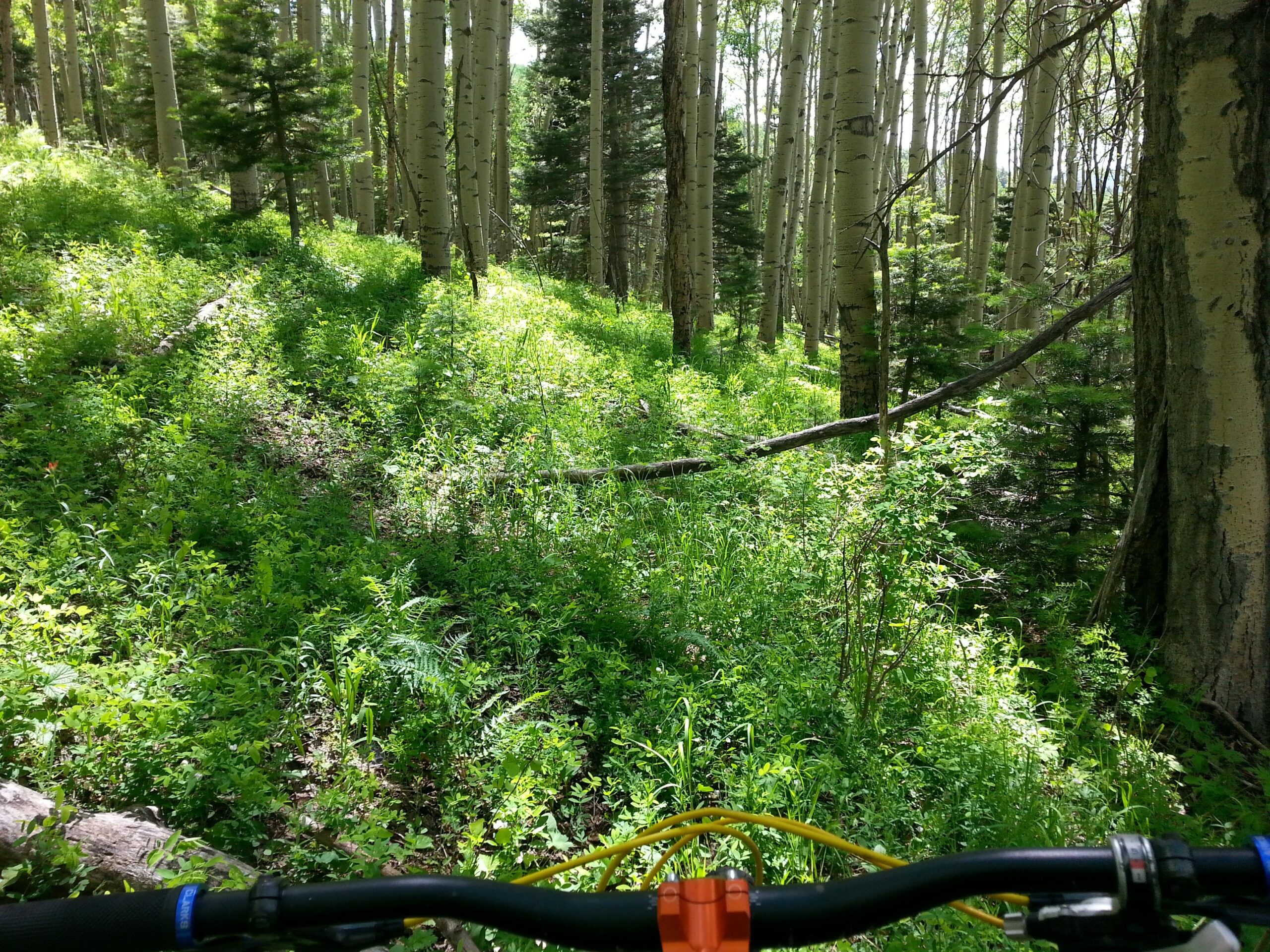
Mountain Biking Mondragon Canyon Trail #660
#122 of 283 mountain bike trails in New Mexico
The Mondragon trail is 8.0 miles long. The trail is open for the following uses: Cross Country Skiing and Snowshoeing. In the summer months trail can be used for hiking and biking. source: fs.usda.gov
First added by searsandrewj on Dec 7, 2014. Last updated Apr 27, 2020. → add an update
Before you go
- Drinking water: unknown
- Lift service: unknown
- Night riding: unknown
- Pump track: unknown
- Restrooms: unknown
- Fat bike grooming: unknown
- E-bikes allowed: unknown
- Fee required: unknown
This trail information is user-generated. Help improve this information by suggesting a correction.
The trail is eight miles long, signed at the entrance and consists of moderate to fairly steep slopes. The trailhead is located on Highway 64 about eight miles east of Taos. A small parking area is located opposite the entrance on the north side of the highway.


Loading reviews...View more