×

|
Rate it:
Tags:
Level: Intermediate
Length: 4 mi (6.4 km)
Surface: Singletrack
Configuration: Network
Elevation: -
Total: 16 riders
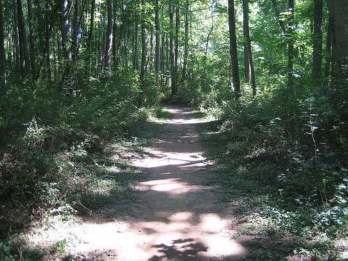
Mountain Biking Mcintire Park
#137 of 300 mountain bike trails in Virginia
The trail can be found on the other side of the football field on either endzone.
First added by siggyfay on Jun 5, 2009. Last updated Apr 28, 2020. → add an update
Before you go
- Drinking water: unknown
- Lift service: unknown
- Night riding: unknown
- Pump track: unknown
- Restrooms: unknown
- Fat bike grooming: unknown
- E-bikes allowed: unknown
- Fee required: unknown
This trail information is user-generated. Help improve this information by suggesting a correction.
From Downtown Charlottesville; take Preston Ave/Rugby Rd North out of town; Turn Right at Dairy Road; Left at St. Annes Rd.; Slight Right onto Grove Rd; Then a slight Right on to Concord Dr.; then you can park in the school parking lot.


Super flowy and fun; great place to take your kids
| ThankTrail might have been abandoned by the group that clearly put in a lot of time to build. The fallen tree skinnies are rotting away and I found the remains of skills/pump area that was never completed. It was difficult to find, short, and no signage.
| ThankThis is only worth the effort if you link it to the rest of the Rivanna around c-vile. It's just too small and compact. I can do a full loop of all the trails in less than 15 minutes. Fast and flowy with a couple obstacles built in for good measure.
| ThankThe trail head was hidden behind some picnic shelters and fairly difficult to find...however, there is some fun stuff crammed into a small area. There were about 5 miles worth of singletrack with some really fun log skinnies and jumps sprinkled throughout. I was quite surprised after barely being able to find the trail head.
| Thank