×

|
Rate it:
Tags:
Level: Beginner
Length: 8 mi (12.9 km)
Surface: Singletrack
Configuration: Network
Elevation: +273/ -267 ft
Total: 26 riders
Mountain Biking Kerrville Schreiner Park
#75 of 279 mountain bike trails in Texas
There are several interconnected loops, the green being the easiest and up
to the yellow which is intermediate. Mostly singletrack with some jeep road.
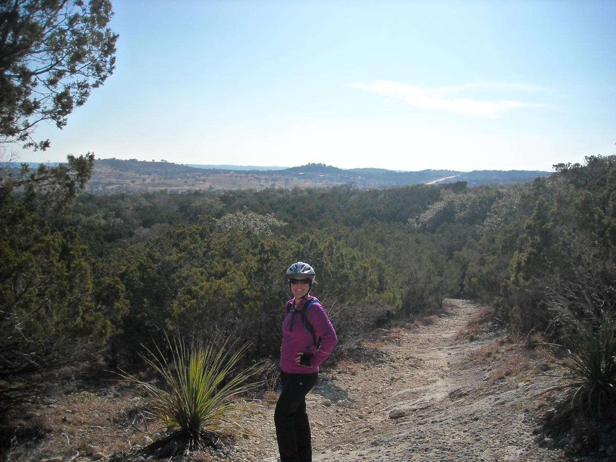
If you are adventurous, take the trail up to the scenic overlook and back
down the other side. It's a pretty steep climb and descent from either
direction. My favorite is the yellow trail which has a long gnarly downhill
with a few jumps. Pick up a trail map at the park office. Very nice camping
facilities. Day use fee is $4.00.
First added by markjsis on Oct 10, 2009. Last updated Apr 30, 2020. → add an update
Before you go
- Drinking water: unknown
- Lift service: unknown
- Night riding: unknown
- Pump track: unknown
- Restrooms: unknown
- Fat bike grooming: unknown
- E-bikes allowed: unknown
- Fee required: unknown
This trail information is user-generated. Help improve this information by suggesting a correction.
The park can be reached by traveling 3 miles southeast of Kerrville on State
Highway 16 to State Highway 173 for 3 miles. The park headquarters building
is on the left.


It's a fun trail. Majority of the trail is pretty rocky. a couple steep climb and many tight turns. The markings are not clear in some areas with crossing trails. I stopped multiple times to figure out which path to go. Overall, I enjoyed it.
| ThankMostly flat, curvy, and fast with one tough climb. Some of the partially finished reroutes will be an improvement.
| ThankFun loop with a little bit of everything. Tight flowing single track with a smattering of hill country limestone. New trails are currently being rode in and lots of room fire more. Will ride again when in the area.
| ThankFirst time here, it was great. Trails go from easy to difficult. There is something for everyone.
| ThankClimbs that kicked my butt, sharp turns good up hill and downhill, lots of rocks and trees. Located in a really nice city park with tent sites, RV sites and Airconditioned cabins. River on other side of the park for tubing and rafting or fishing.
| ThankKerrville Schreiner is one of my favorite places to camp and ride. There are plenty of trails for beginners and intermediate riders to explore, and if you can pedal up the climb to the scenic overlook you are expert. My wife walks up and down this one for the most part. I walk up and ride down. It's a nice thrilling ride down, though I wish it were longer. There is a longer less severe downhill on the yellow loop which I could ride over and over all day. It's kind of technical in spots, so take it easy if you're a beginner. It's pretty rocky in that part. Most of the rest of the trails are really nice and smooth and twisty.
| Thank