A network of purpose built single track trails connected by forestry contour
paths. Favourite sections include the Canary Path , 3 levels of single track
zig zagging down the mountain. Fire Trail on the right hand side of the
valley if you face the mountains from the entrance gate has some fast
flowing switch backs and awesome small jumps. Eliatti Path is also a nice
option if connected with some of the other smaller trails.
 | Firehut Trail | 6 mi |


Great single tracks on both side of the valley. Choices for advanced rider and families. Black, red and blue choices.
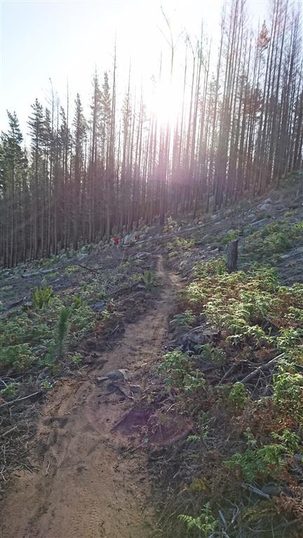
| ThankAmazing scenery but mostly seen fire road.
| ThankI rented a nice Specialized Camber from Ride In, a great bike/coffee shop a few miles away from Jonkershoek, so you can just ride to Jonkershoek straight from there. Highly recommend Ride In. Jonkershoek is great riding! A bit confusing at first, as apparently trails change regularly based on logging. I was instructed to stay left climbing the entire time, which I didn't really heed. You basically climb up logging roads most of the time, then DH on singletrack. Ended up climbing some of lower Canary's, but once I found signs for the Waterfall Trailhead, I followed those and that's definitely a good way to go. Rode Bennet's Red down once. Great singletrack, not very technical (a few rocks), some steep pitches, a total blast. Then pedaled back up to Waterfall TH and rode Never Ending Story down. Also a blast, very different style of singletrack, more of a natural trail feel to it than man made. Lots of fun. Views here are insane (coming from CO in the US), great trails, highly recommended.
| ThankNice fast flowing single track with some rock gardens and small jumps.
| Thank