


Recommended route is clockwise starting from the campground. With two
major river crossings, this one is best left for the summer. Too cold in the
winter and the rivers are too deep in rainy seasons. Head west on the Iron
Mt trail and almost immediately cross the Conasauga River. Usually only
knee deep here. At mile 4 you will make a hard right turn to stay on Iron Mt
trail. Signs here make the turn pretty obvious. Stay on FS1A for about 3
miles until it crosses the old rail grade trail near the river. At this point,
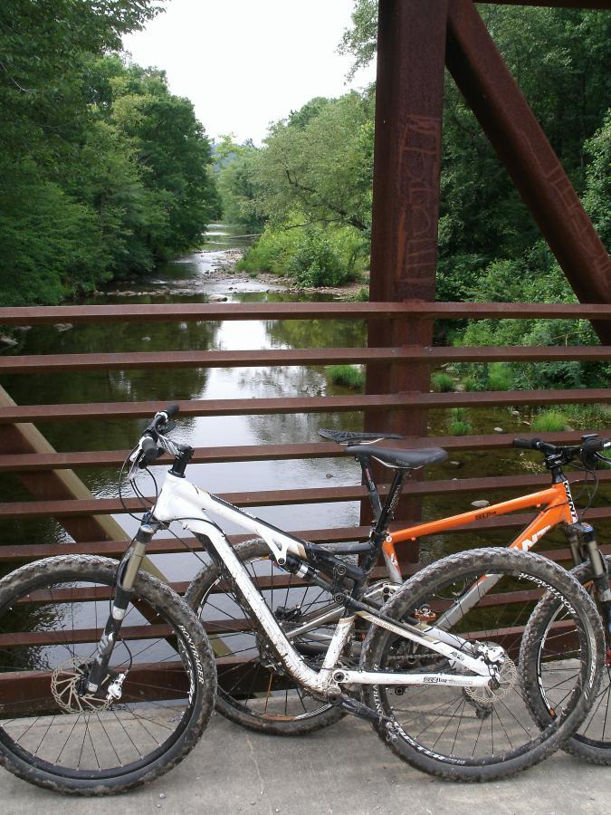
make a right and head downhill. Here you will cross the Conasauga river
again but this time the river can get pretty deep; waist high and fast when
it has rained recently. Ford the river and head east on the trail. After a
mile or two the Iron Mt trail will merge with the Conasauga River trail.
Continue along this trail at the waters edge until you reach the
campground at Sheeds Creek Rd. Turn right onto Sheeds Creek Rd and
ride until you reach the bridge on your right for FS16. Cross the bridge and
head south on FS16 until you reach the Cottonwood Patch Campground on
your right.
For a shorter, drier ride, make a left at mile 4 and follow FS1 back to Old
Hwy 2. Turn left on Old Hwy 2 and head back to the campground.


Ok here we go. the first few miles are up up and away, dont worry soon the first downhill run will come . what a blast . then up again to the over look rest a bit and take in the view take some pics ,enjoy a snack . because right around the corner WOOHOO down again forever it seems a blast back down to the river . yes it can get deep so be prepared to get wet. cross the river then enjoy the senic river trek out to the fs road.
| ThankEquestrian/mtb trails in pristine backwoods country. Mostly doubletrack with a few sections of singletrack thrown in for fun. The first four miles will make you earn the downhill. Warm up before hand or you will regret it. The last 4 are a relatively flat spin along the waters edge. I'd recommend bringing a GPS with the track preloaded or someone familiar with the trail. We got lost pretty badly just after the hard right turn at mile 4 and ended up adding another 6 miles to the day. The water felt great and was only knee high at it's deepest. If the place was signed better I'd have given it a 4 star rating.
| Thank