×

|
Rate it:
Tags:
Level: Intermediate
Length: 8 mi (12.9 km)
Surface: Singletrack
Configuration: Network
Elevation: -
Total: 9 riders
Mountain Biking Griffin Creek
#136 of 1,230 mountain bike trails in Washington
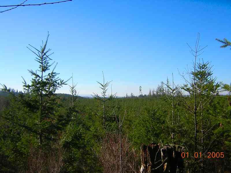
Mixture of sevice roads and single track running through a tree farm. fairly flat area with minor elevation gain. Good drainage in wet weather. Good trails for the novice riders.
First added by mtnmojo on Feb 5, 2005. Last updated Apr 30, 2020. → add an update
Before you go
- Drinking water: unknown
- Lift service: unknown
- Night riding: unknown
- Pump track: unknown
- Restrooms: unknown
- Fat bike grooming: unknown
- E-bikes allowed: unknown
- Fee required: unknown
This trail information is user-generated. Help improve this information by suggesting a correction.
Coming from Seattle: go east on I-90 to the Preston-Fall City exit. Turn left, over the freeway and then right, towards Fall City. Once in town, turn right, over the bridge on 202 and then a left, heading north on 203. Take that road about 5-6 miles to NE 11th and turn right. There will also be a Camp Don Bosco sign there. When the paved road veers left, stay straight onto the dirt road; parking area is up the dirt road on the left before the Snoqualmie Valley trail.

Closed!
4 starts if still open. Unfortunately the property was sold to a company controlled by Bruce McCaw (local cell phone millionaire) who no longer allows public access. This really blows since the county previously purchased the development rights of the prop to ensure it would remain green space, yet neglected to ensure public access.
| ThankAfter a three+ mile gradual climb up the double track go right at the old quarry, this double track will become a steep singletrack. After the clearing at the top of this climb you have two great singletrack choices, Beer Can is the more technical out and back to the right. Beer Can ends when you pop out of the woods at the power lines. Constitution is a very flowy downhill to your left, this tral is about 2 mile long and you end up on a double track near the quarry. This trail makes for a great work out lap.
| Thank