×

|
Rate it:
Tags:
Level: Easiest
Length: 90 mi (144.8 km)
Surface: Doubletrack
Configuration: Out & Back
Elevation: +184/ -329 ft
Total: 1 riders
Mountain Biking G2G
#222 of 317 mountain bike trails in Ontario
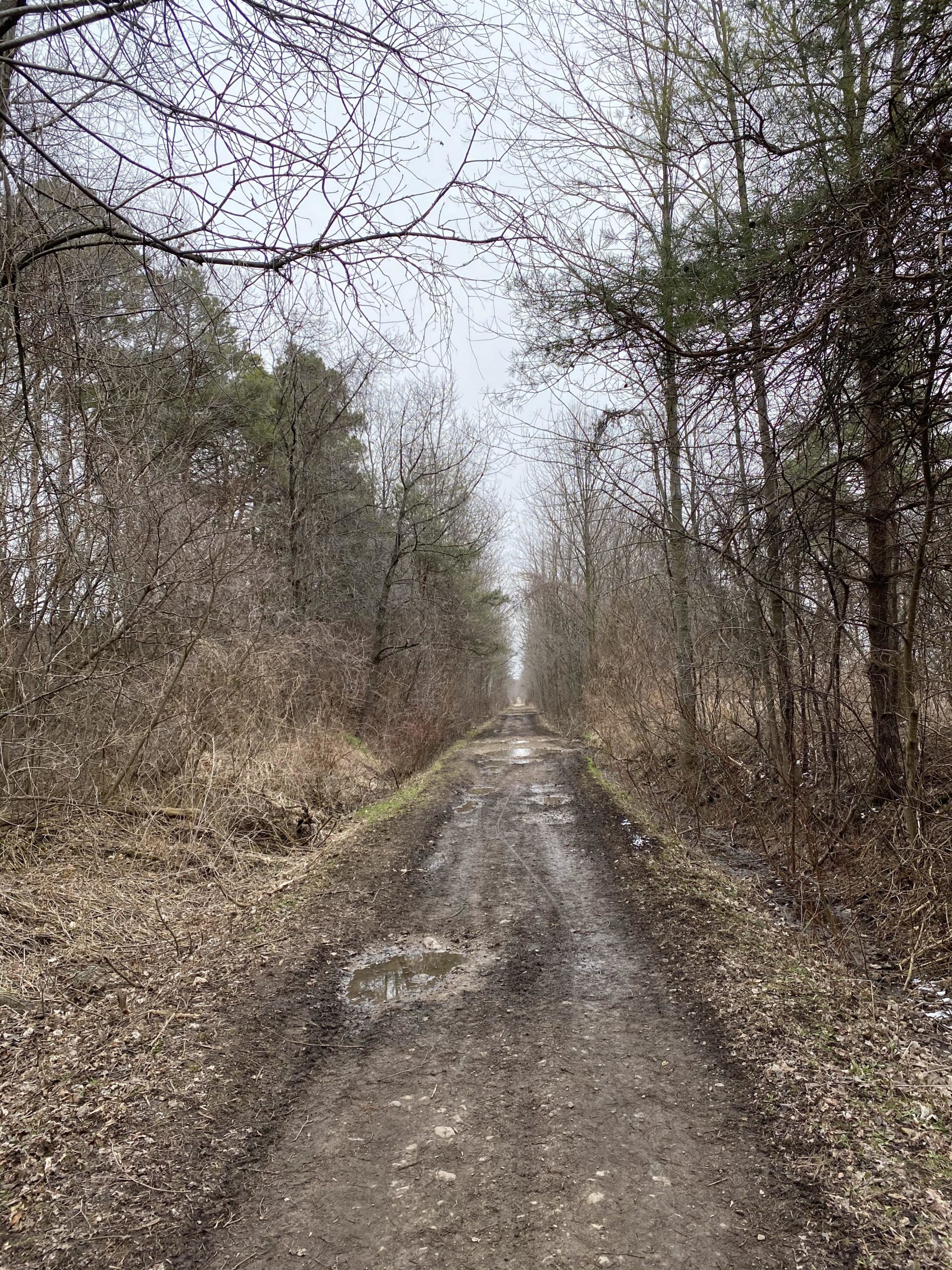
Old rail line which has been reworked in certain areas by a volunteer base to become a multi use trail
Chip and dust in the Gorderich to Auburn areas , with less traveled section having more mud and wet spots , may be slightly over grown in summer, some sections torn up by atvs , used by snowmobiles in the winter
First added by Paul Loeffelholz on Apr 19, 2020. Last updated Apr 19, 2020. → add an update
Before you go
- Drinking water: unknown
- Lift service: unknown
- Night riding: unknown
- Pump track: unknown
- Restrooms: unknown
- Fat bike grooming: unknown
- E-bikes allowed: yes
- Fee required: unknown
This trail information is user-generated. Help improve this information by suggesting a correction.
Crosses Ontario from Goderich to Guelph


Maitland river trails from Auburn to G2g connector and back along Maitland river east side
| ThankDry with warm water temps in river
Used Blyth sections to Goderich and back mainly dry lots of loose rock . Rail trail with Some mud and potholes from Atv use . Still slightly wet from spring thaw
| Thank