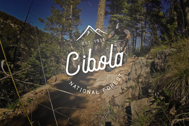
The Faulty Trail proper only runs about 5 miles before entering the Sandia Mountain Wilderness, but it also provides access to other great trails in the area, including the Oso Corredor Trail, Sulphur Canyon, and the Armijo Trail. Faulty itself follows the contours of the east bench of the Sandia Mountain Range around the 7,800 foot level with many sharp climbs out of the various drainages it crosses. Some of the trail is buff, but most is quite rocky. Even with the Wilderness area exclusions, this is an excellent network with good variety and few people to share it with. The Sandia Mountains map from Dharma Maps can be very helpful in navigating this area and all major intersections are well marked with wooden posts.
 | Armijo Trail | 3 mi | |
| Bill Creek | 2 mi | |
 | Oso Corredor | 3 mi |


 1
1
Great trail to ride. Lots of rock and tech.
| ThankThe wash that begins this ride is positively heinous; steep, rutted, and filled with jagged rocks just waiting to pinch-flat you. However, after completing this rut, the rest of the ride is pretty mellow. The grade is enough to keep you flowing downhill, but nothing white-knuckle. I did encounter equestrians here on a weekday, so beware and be friendly if you give this one a go. It does make a great loop rather than just doing a full out-and-back on Faulty.
| ThankThis is a great test piece, especially as a climb! I like to ride it as an out and back and challenge myself on the rock gardens going up and then enjoy gravity pulling me through them on the way down. If you don't want to do an out and back, there are loop options incorporating the highway or shuttle options as well.
| ThankThis trail provides a great path to access the Faulty Trail as well as the whole network of trails that branch off Faulty. It is a very nice spin through the woods. Most of the lower portions of the trail are an easy grade and generally smooth but punctuated with rocky portions. At the switchback, the trail turns very steep until the intersection with Faulty and Oso Corredor.
| ThankWhat an outstanding trail network! If you're an advanced and adventurous rider, you will likely love this place. It's a little harder to get to than many Albuquerque area rides, but well worth it, especially of you've exhausted the Otero Canyon Area. The Faulty Trail provides miles of technical bench cut trail with lots of options to lengthen your ride on neighboring trails. If not for the Wilderness cutoffs, this would be a world class biking destination.
| Thank