×

|
Rate it:
Tags:
Level: Beginner
Length: 21 mi (33.8 km)
Surface: Singletrack
Configuration: Network
Elevation: +1,451/ -1,186 ft
Total: 54 riders
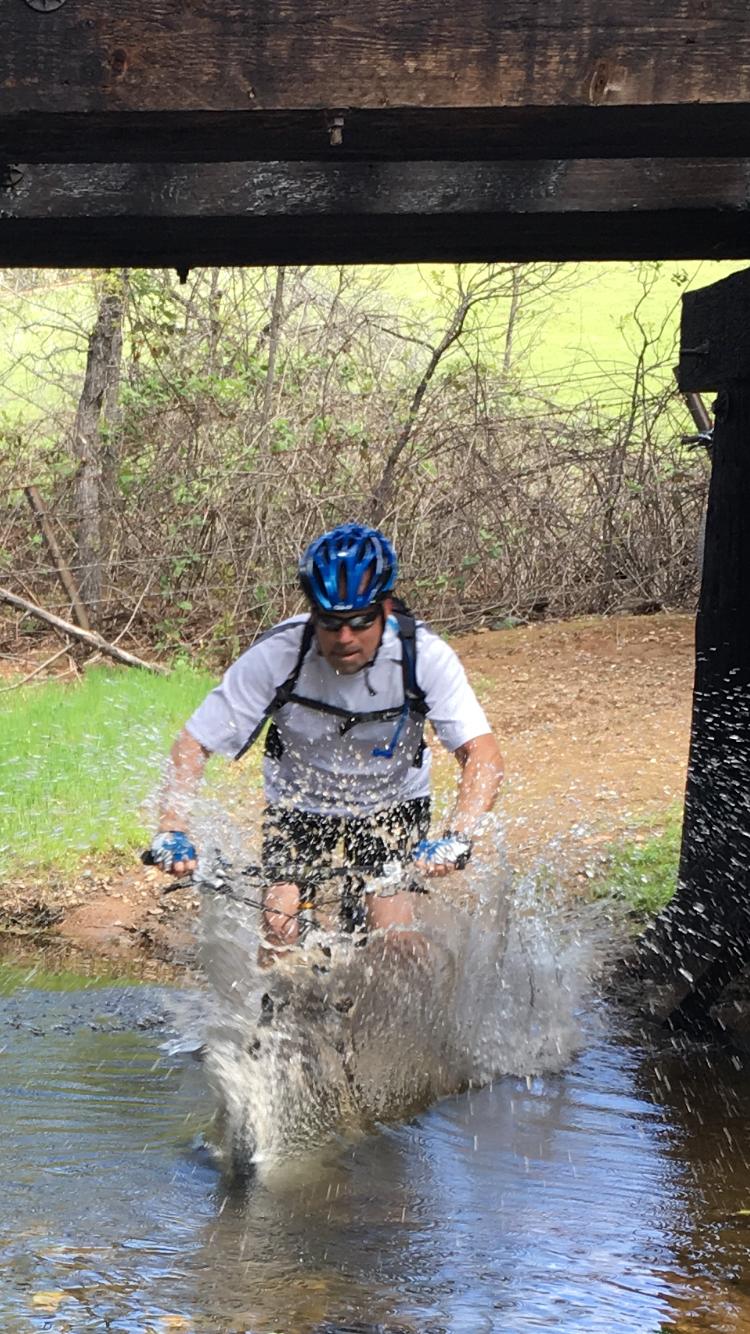
Mountain Biking El Dorado Trail
#142 of 1,005 mountain bike trails in California
Single Track down abandoned RR tracks, which turns into some paved multiuser trail in Placerville. Stay on Singletrack as much as possible when it runs beside paved. 32.6 miles (from placerville to Folsom) in length perhaps a few more with the new addition to hwy 49.
First added by Hunter411 on Apr 12, 2015. Last updated Apr 30, 2020. → add an update
Before you go
- Drinking water: unknown
- Lift service: unknown
- Night riding: unknown
- Pump track: unknown
- Restrooms: unknown
- Fat bike grooming: unknown
- E-bikes allowed: unknown
- Fee required: unknown
This trail information is user-generated. Help improve this information by suggesting a correction.
Shingle Springs Drive and RR Tracks.
System trails (1)


Loading reviews...View more