This is a tough trail that will challenge even the best mountain bikers. This trail is rocky and steep in certain sections, and some wet areas are quite difficult after a horse trail ride has been through. The Duncan Hollow Trail (part of the orange blazed Massanutten East Trail) starts on Route 675 just east of the entrance to Camp Roosevelt behind the pullout for sewage disposal. There is a sign for the trail on Route 675. The trail begins as a single track, rolling trail that crosses many damp ditches. At about mile 0.3, the trail joins a service road (after about 3 miles youíll see the Gap Creek Trail off to the right). The early part of the trail is very rocky and can be Extremely Muddy after wet weather. After about 4.8 miles, you will travel down a steep rocky hill which is dangerous to the novice mountain biker. At the base of the hill, turn right on the Middle Mountain Trail and follow the yellow blazes for 0.6 miles to merge with the Scothorn Gap Trail. Veer right to hook up with this red blazed trail. Follow this trail for 1.4 miles and take a left hand turn onto Gap Creek Trail. This is a muddy, rocky trail that switches back and forth down the hill for 0.8 miles. Cross the stream and turn right onto Crismon Hollow Road (Forest Service Road 274) and follow for 3.1 miles. This hard packed gravel road is very pleasant and will go by quickly. Turn right on Route 675 and continue for 0.3 miles back to the dump station.

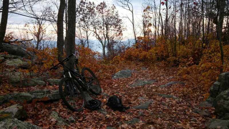
I rode part of the trail today. It actually is part of the Masanutten Trail and you can park in the horse trailer lot on the left side of the road. I only got about 3.5 miles down the road before I had a mechanical, but the trail is in good shape. Big boulders in most of the gully/stream crossings which are decidedly wet at the moment and a ton of horse manure on the trail. Trail rides well and basically has not flat sections. I hope to get back there soon and do the whole thing. Oh...TAKE BUG SPRAY!!! Trust me, this is a must at the moment.
| Thank