The Dingle Burn (Burn = River) area on the remote eastern shores of Lake Hawea is BIG country with stark towering hills, rugged mountains, vertical bluffs and a broad blue lake.
A four wheel drive road continues on past the car park. It becomes very narrow as it winds its way precipitously around high bluffs till it reaches Silver Island Bay after 7km.
From Silver Island Bay you follow orange marker poles on a grassy track that leads up and over the Dingle Burn Peninsular gaining and losing about 150 vertical metres. It's grade 4 with perhaps 200 metres of climbing too steep to ride. After 5km you reach Turihaka Conservation Area, the small delta of the Dingle Burn covered with a manuka forest. There is a toilet and camping area there.
You can turn back here for ride of about 24km or if you're a legend, you can cross the Dingle Burn (normally just deep enough to give you wet feet) and continue on the Lake Hawea Track for 20 undulating kilometres along the spectacular Hunter Valley. That would give you a ride of about 65km, most of it grade 4.
Look here for more information from DOC: http://www.doc.govt.nz/parks-and-recreation/places-to-go/otago/places/hawea-conservation-park/?activity=mountain-biking#findplaces


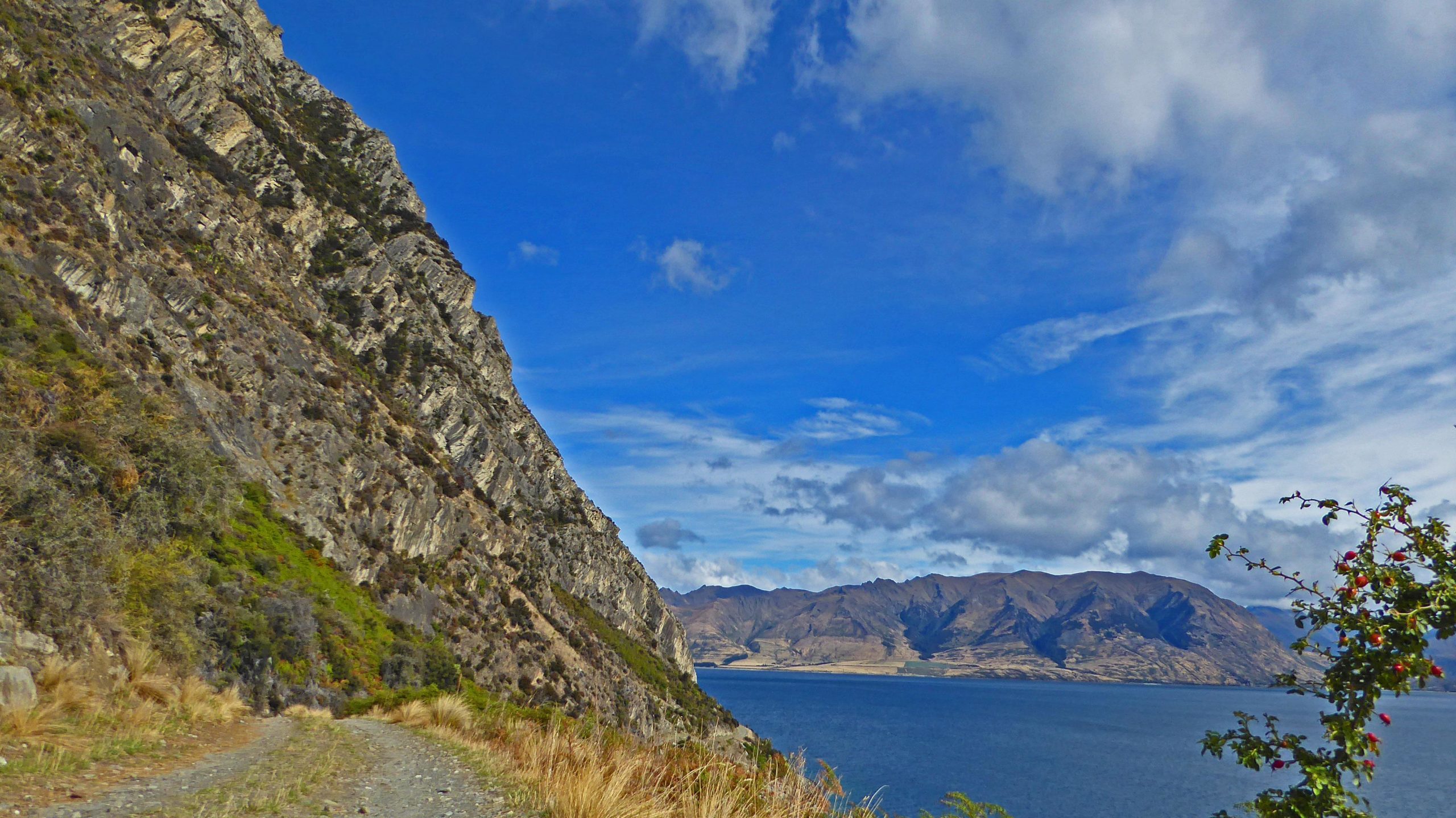

This is an area of stunning lake and mountain panoramas. The ride is spectacular and satisfying rather than fun. Go with friends on a fine clear day and have a picnic on top of the Dingle Burn Peninsular to make the most of it.
| Thank