Deer Haven Ranch is a 5,000 acre Bureau of Land Management recreation area that excludes all motorized vehicles, allowing only users on foot, horse and mountain bike. The ranch has a growing network of over 15 miles of double track and single track trails. Terrain is characterized by moderately rolling meadows and forests with several gulches that host numerous rock outcroppings and overlooks of the nearby Wet Mountains, Pikes Peak and Sange de Cristo Mountains.
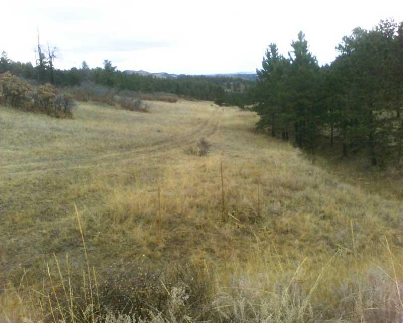
The double track is a series of old ranch roads that crisscross the entire ranch. A growing network of singletrack constructed by the Bureau of Land Management, a local horse riding advocacy group and users offer a variety of fun rewarding trails. HOWEVER, many of the trails are degrading due to lack of use. Several of the trails are simply being over taken by the surround vegetation. See photos. Regardless, the trails offer a variety of smooth and fast, to moderately technical rocky sections. While there is evidence of illegal motorized use, the area has not seen the abuse by motorized vehicles that most trails in the area has. Deer Haven Ranch is great for long, fun rides, and with some attention, has the potential to be a world class riding destination. There is something for everyone here, please check it out. The ranch needs your love.


We were well into this area and discovered a sign on a State kiosk sitting next to the trail. When we read the notices on the sign it prohibits bicycles. The center portion of this property is a STATE TRUST LAND AREA where bicycle travel is not permitted through the State parcel. We turned back and went onto some other trails outside that area. We got into some expert areas. There is old motorized vehicle damage on the trails in this area. Really over rated.
| ThankEnormous potential for mountain bike trails if we're afforded the same trail-building leeway that the horse riders have enjoyed with the BLM. The existing double- and singletrack is easy to moderately technical. Probably about 15 miles of riding with multiple loop options. Room for many more trails up here. Very lightly traveled and as mentioned non-motorized. Only 30 minutes north of Canon City.
| ThankThis was actually a disappointing little adventure. The network is almost all doubletrack through relatively uninteresting terrain. There are occasionally good views, but the gravelly trail surface gets tiresome quickly. What little singletrack there is doesn't warrant the trip out here. On the plus side, I went on a busy weekend with perfect weather and didn't see another soul. Only recommended if you are desperate to escape the crowd durng a peak time.
| Thank