×

|
Rate it:
Tags:
Level:
Length: 8 mi (12.9 km)
Surface: Singletrack
Configuration: Out & Back
Elevation: -
Total: 5 riders
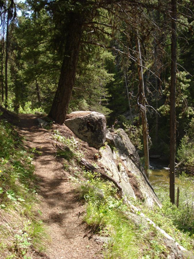
Mountain Biking Crooked River
#213 of 335 mountain bike trails in Idaho
A nice scenic and technical trail along the Crooked River. The grade in
general is rideable, but there are quite a few technical rocky spots and
steep pitches. The trail is not maintained past the 3-4 mile mark, which
makes this a good out-and-back. However, the trail does continue but
beware of downfall, hike-a-bike and faint trail until the Crooked Rivers
confluence with the North Fork Boise River. Very scenic, and a good option
to ride some rocks that are lacking in the Boise Foothills. A lot of camping
nearby, either serviced or primitive.
First added by dauw on Jun 20, 2010. Last updated Apr 28, 2020. → add an update
Before you go
- Drinking water: unknown
- Lift service: unknown
- Night riding: unknown
- Pump track: unknown
- Restrooms: unknown
- Fat bike grooming: unknown
- E-bikes allowed: unknown
- Fee required: unknown
This trail information is user-generated. Help improve this information by suggesting a correction.
From Boise Drive Hwy 21 past Idaho City and over Mores Creek Summit ~18
miles from Idaho City to just before Edna Creek turn off. Turn right onto
Crooked River Rd./National Forest Develop Rd. 384. Follow 1.1 miles to the
trailhead on the right.