A dirt path diverging into two trails, surrounded by tall grass and sparse shrubs under a clear blue sky. Trees provide shade on one side, while the area is sunlit, creating a natural, tranquil setting. West Ridge Trail mountain bike trail.
×
User
Today
 
  |   Rate it:

Tags:
Level:
Length: 6 mi (9.7 km)
Surface: Singletrack
Configuration: Lariat
Elevation: +1,208/ -912 ft
Total: 10 riders
 

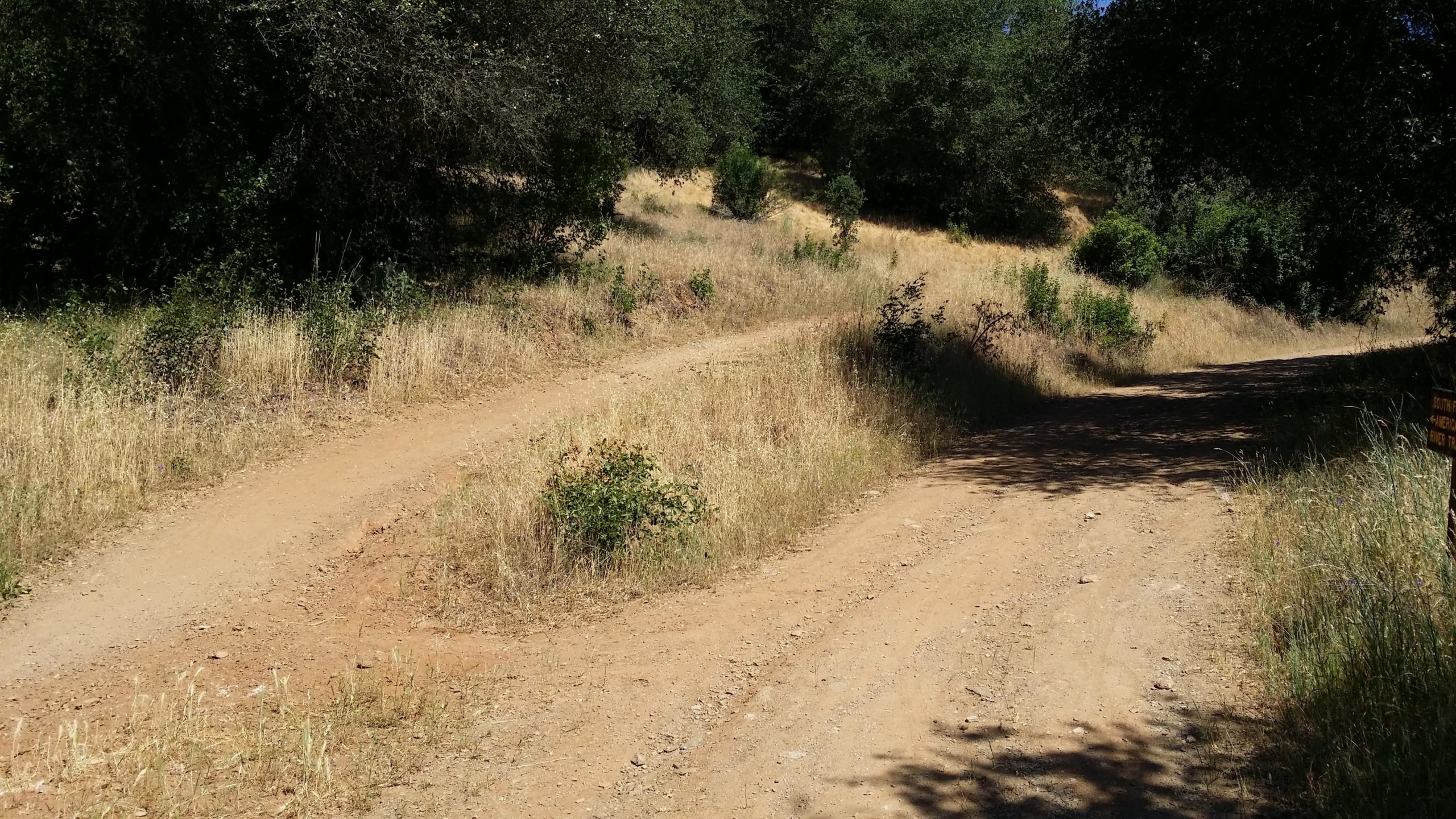
Mountain Biking West Ridge Trail

  Add a review
#708 of 1,014 mountain bike trails in California
#12,115 in the world

Short but very tough climbs with lllooonnnngggg stretches of steep downhill. Not too technical, but very demanding.

First added by marsh on Jun 11, 2007. Last updated Apr 28, 2020. → add an update
Before you go
  • Drinking water: unknown
  • Lift service: unknown
  • Night riding: yes
  • Pump track: unknown
  • Restrooms: unknown
  • Fat bike grooming: unknown
  • E-bikes allowed: unknown
  • Fee required: unknown
This trail information is user-generated. Help improve this information by suggesting a correction.
Getting there
Take State Highway 49 to Pedro hill Road and go South 500 feet. You can't miss the park entrance.


West Ridge Trail Trail map

Add to or improve this map // Share this map on your website

Local Info

Club Sponsor

-

Local Bike Shop

Trail checkins

cgreen5150 (Sep 21, 2019)
What's this?

Upcoming Events

None.
Add one

Trail conditions

Dry (Jul 1, 2014)
login to update

Camping & Lodging

Coming soon!

West Ridge Trail videos

Add a video
We don't have any videos of this trail yet. Add one here.

Mountain Bike Trails Near Pilot Hill, California

***
Beginner | 10 mi
| 6 mi
****
Easiest | 2 mi
| 1.5 mi

Add a review

Rating
 
Difficulty
 
Review

Reviews

Rider questions