×

|
Rate it:
Tags:
Level: Advanced
Length: 1.1 mi (1.8 km)
Surface: Singletrack
Configuration: Out & Back
Elevation: +188/ -0 ft
Total: 10 riders
Mountain Biking Coontree
#234 of 554 mountain bike trails in North Carolina
This trail is 1.11 miles one-way. This trail is a gnarly, steep hike-a-bike in one direction and a steep, technical descent the other. Prepare to get your butt kicked!
Open to bikes Oct 15 - Apr 15 only. Watch for hikers.
First added by Greg Heil on Sep 10, 2010. Last updated Apr 9, 2025. → add an update
Before you go
- Drinking water: unknown
- Lift service: unknown
- Night riding: unknown
- Pump track: unknown
- Restrooms: unknown
- Fat bike grooming: unknown
- E-bikes allowed: unknown
- Fee required: unknown
This trail information is user-generated. Help improve this information by suggesting a correction.
From Asheville, head south on I-26E. Take the exit for Hwy. 280, and follow that Southwest towards Brevard. Hang a right on Hwy. 276, and that will take you into the heart of Pisgah. Drive a few miles down 276, and park on the left at the Coontree Picnic area. The trail starts back across the highway.


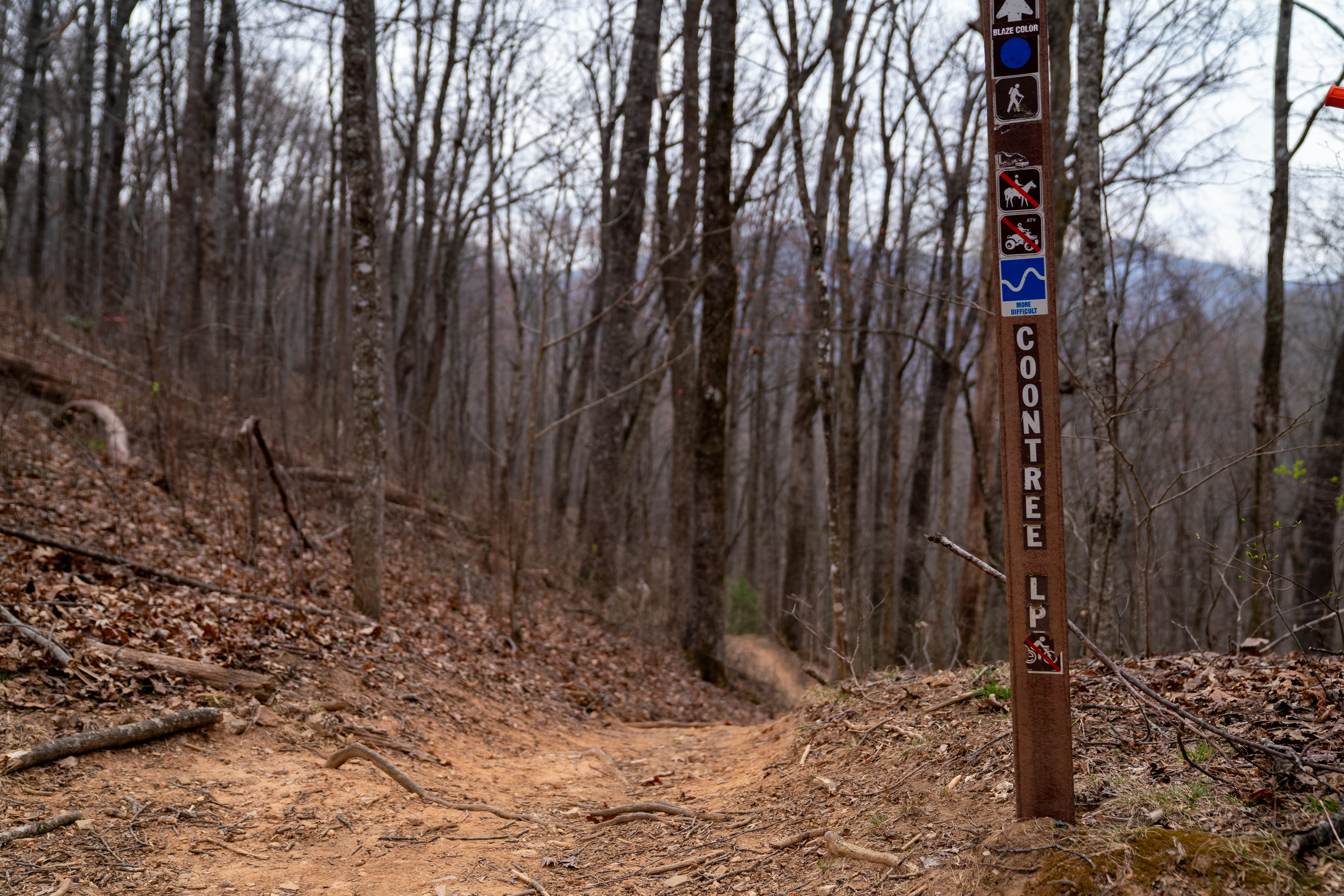

Fast descent with medium small drops you can huck on the way down. Not too rocky, just as fast as you like. Note this is part of a popular hiking loop, particularly toward the bottom of the trail. Open to bikes Oct 15 - Apr 15, but closed to bikes the rest of the year.
| ThankAll I have to say, is DANG. This trail has some very steep sections. WHOA.
| ThankGnarly! Definitely a black diamond.
PS this is trail #144* Review edited 9/10/2010
| Thank