×

|
Rate it:
Tags:
Level: Beginner
Length: 7 mi (11.3 km)
Surface: Singletrack
Configuration: Network
Elevation: +84/ -62 ft
Total: 63 riders
Mountain Biking Claremore mountain bike trail
#7 of 68 mountain bike trails in Oklahoma
Very nice single trac. Easy to moderate. Flowing smooth trail on blue route, yellow route is intermediate level with rocks and a few obstacles but very rideable.
First added by on Jan 1, 2014. Last updated May 11, 2020. → add an update
Before you go
- Fee required: unknown
- Drinking water: unknown
- Lift service: unknown
- Night riding: unknown
- Pump track: unknown
- Restrooms: unknown
- Fat bike grooming: unknown
- E-bikes allowed: unknown
- Fee required: unknown
This trail information is user-generated. Help improve this information by suggesting a correction.
Bluestar drive east to road 4180. Turn North aprox 1.5 miles. Cross bridge trail head immediately on right ( east) side of the road.
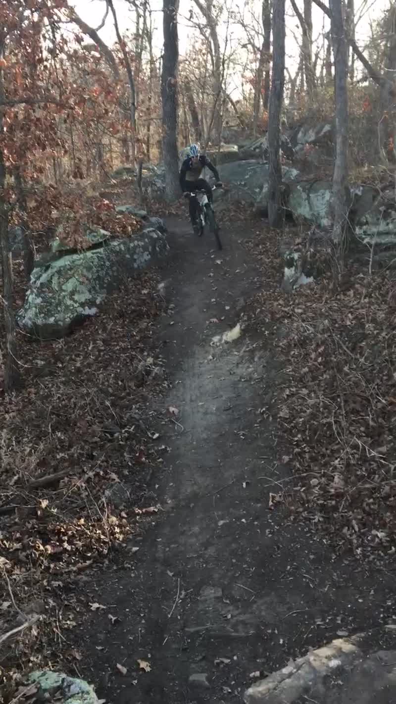


Great trails, a bit more technical than expected. A lot of easy smooth flow, but definitely some tricky sections(off camber rocks and roots).
| ThankGreat trail system. Plenty of technical trails and fun for all skill levels. 7 miles maybe more like close to 10 with all the new added trails.
| Thankvery nice trail system
| Thankgreat set of trails from good flow to rocky features. watch out for the transition from Blaze to Cloab (both "easy"), there's a 32 inch drop straight down to the dam. not easy.
| Thankthey have building like crazy and this is top notch system.
| Thankgoing to trough Tulsa , OK - hit this one up.
Great technical trails that are being added on to every month!
| ThankFun trail system if your in the area. Make sure you check out the new trails on the east side of the main road it has some unique rock sections and good lake views. Mostly good flowing singletrack with a few small techy sections no jumps or woodies to speak of.
| ThankThe crew have been busy cleaning up old trail and lots of new trail - great ride in the Tulsa Metro:)
| ThankWell maintained set of trails. Perfect trail set for newer riders to develop skill set!
| ThankHad a great time! First time at these trails and were easy to follow. Since I'm just beginning this sport it's a great place to learn techniques and build up strength. I'll be back for sure!
| ThankA GREAT Trail! This was a fast, simple trail for great riding. A beginners trail that offers just enough rocks for technical skill building. Short enough to be a great confidence builder. Saw lots of traffic, from walkers to riders with several dogs. From trailhead there is another small trail just down the road and across the bridge. But this trail offers enough fun and options for a great ride. Smooth, wide enough to offer comfort for the beginner and enough for the experienced rider to enjoy.
| ThankFor the most part this would be a great trail to take inexperienced or young riders to. Not a lot of technical features. Some ruts and rocks but mostly clean dirt. Well maintained and marked.
| ThankFirst time, loved it!
| ThankThis trail is great fun. Real flowing, not a lot of rocks. Tight corners make it interesting when going fast. Well maintained and worth the drive. It might be smaller than other places but within an hour you will have the place dialed in and running your favorite lines.
| ThankRode it for the first time today. It's really fun. Lots of tight turns, can't wait to see this develop in the future!
| ThankNice flowy twisty singletrack through the forest. The main trail is the blue loop which is right at 2 miles long. Lengthen your ride adding the red and yellow sections and reversing direction. Very beginner friendly with some areas to challenge your skills
| ThankThis is a great park already. They have slated sections for technical builds in the future. Its a blast to ride. Having a 29er some of the switchbacks are a trip. It would be nice to see a bit longer track but overall this park has a great future in my opinion. Flowing single tracks that can be run through hard if your willing. The hanging rock trail has a few impassable logs but most trails are easily seen. Look forward to what the future brings.
| ThankWe did a community based cleanup day last weekend (9.27.14) and made some much needed improvements to the trail. All of the trails are now paint blazed, and mapped. We built a new creek crossing to traverse the creek near the trailhead. We also built a new trailhead seating/staging area, and new trailhead map/signage. You can also find your way around the park via the new on trail wood post markers that lead the way.
Find more info at http://claremoretrails.org
| Thankand http://facebook.com/claremoremtbtrail
Very good trail. Maintained with trail markers and blazes on trees.
| ThankMostly good singles trac with lots of turns. Lower side ( yellow route) has about .8 tenths of technical riding. Very pleased