×

|
Rate it:
Tags:
Level: Intermediate
Length: 15 mi (24.1 km)
Surface: Singletrack
Configuration: Lariat
Elevation: +737/ -722 ft
Total: 37 riders
Mountain Biking Chilao / Silver Moccasin
#187 of 1,015 mountain bike trails in California
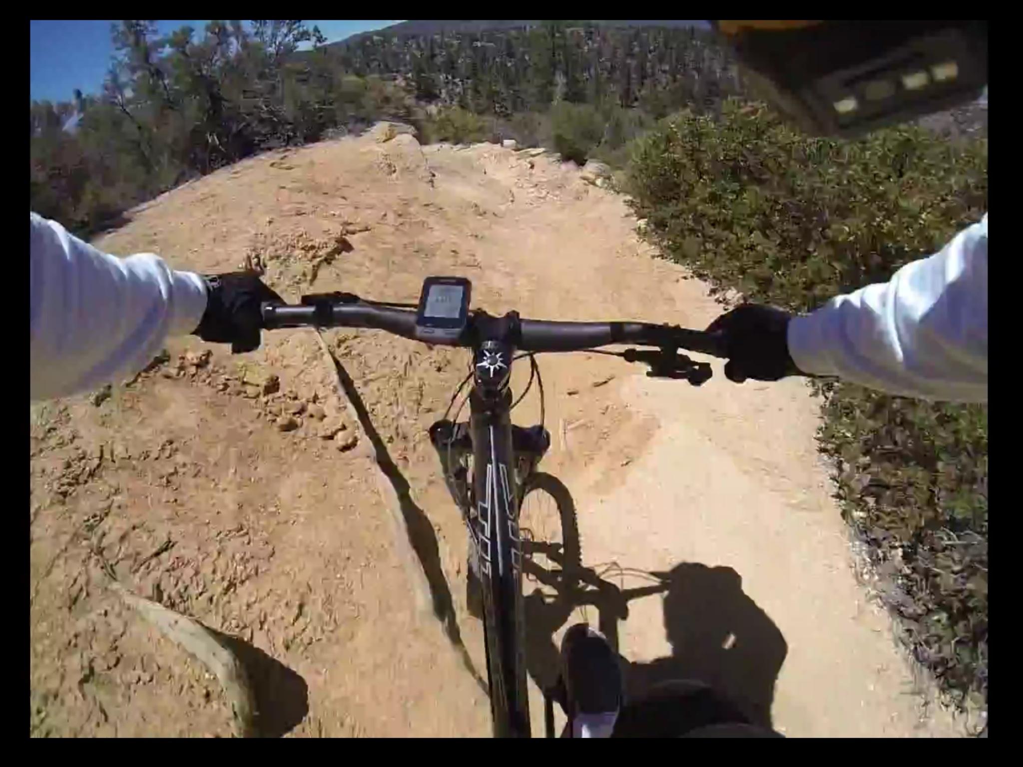
Some tough climbs. Long fireroad climb. Great scenery. Starting at about 5000 feet and climbing to about 6200 where you can stop at "lunch rock" and take in the view. Rocky, rough technical singletrack downhill follows.
First added by bpierro on Oct 25, 2008. Last updated May 2, 2020. → add an update
Before you go
- Drinking water: unknown
- Lift service: unknown
- Night riding: unknown
- Pump track: unknown
- Restrooms: unknown
- Fat bike grooming: unknown
- E-bikes allowed: unknown
- Fee required: unknown
This trail information is user-generated. Help improve this information by suggesting a correction.
From the 210 highway take route 2 north up into Angeles Crest. Park at the Chilao campground. Start riding.

Very enjoyable. At the time of riding the trail was in excellent condition other than a few fallen trees. This course has a bit of everything. The climb is very reasonable. There are one or two very short hike-a-bike sections. Be aware of the bushy trees that sometimes partially obstruct the trail as they cause painful scratches.
| ThankAs of March 11, 2017. Lots of large downed trees south of silver moccasin trail. Very time consuming in which daylight (riding lights), water, and nutrition may become an issue. Used the SCOA shuttle service dropping off at Hillyer.
| ThankPretty fun trail but you definitely need to get used to the different grip levels the terrain offers, some sections remind you of trying to ride on the beach while others provide decent grip. Overall fun trail
| Thank