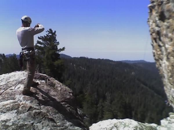
A very easy trail at first. All fire roads and all down hill. When you come to the road, turn left and follow the road about 200 yards until you get to the FIRST dirt trail to your right. You got very little downhill there then it is some really steep uphill. About 2-3 miles of constant uphill. You know your done when you see a sign describing a campground. But stay to the left. Then it is up and down from there. You can coast almost over all of the uphills. When you come to the fork in the road, take the right side. That will be a couple of miles. This is all downhill aslo, but watch out for off roaders. This isn't a known trail and is very rairly ridden, but when people decide to ride the trail, they act like there the only ones on there. So watch out around the turns for 4x4's, dirtbikes, quads, etc. Then you keep taking that trail, stay to the right until you get to the hairpin turn. Don't know where that is? Look to your right and the mountain is erroded. Then that is the halfway point. This is the beginning of the "hard" part. For the first few miles it may seem very easy. But you come to the edge of the hill. (Here is a great chance to pull off to the side and loogie over the edge. It's atleast a 1500' drop strait down.) When the rock start to appear, SLOW WAY DOWN. There will be ALOT more rocks, and the trail gets more narrow until one part you literally have to ride on the side of the mountain to get around the 10' boulder that fell a few years ago. Then the rocks and sand gets thicker and watch out for the roots. Those got a foot or two deep. Then it's pretty much coasting through there. There are some really fun bank turns, but some can be really sandy and I got my bike stuck at the top of a 20' one, and that's a long ways down. When you get to the road at the end of the trail, turn right and stay on the road which takes you all the way back to Hume Lake. Be sure to take lots of pictures because if you don't live as close to it as I don, It's a once in a lifetime chance. Have fun riding and be careful!