Bellevue Valley trail photo
See all photos (7)
×
User
Today
 
  |   Rate it:

Tags:
Level: Expert
Length: 3 mi (4.8 km)
Surface: Singletrack
Configuration: Out & Back
Elevation: +543/ -546 ft
Total: 3 riders
 

Mountain Biking Bellevue Valley

****   Add a review
#113 of 312 mountain bike trails in Ontario
#5,974 in the world

This trail includes some advanced features and the entire loop involves 700 feet of descending and climbing in approx. 4 miles. The features can be easily bypassed, but this is not a beginner trail.

The trail begins at the base of the Bellevue Tower road. Ride around the gate and ascend the hill on the tower road (paved for the most part) (approx. 300' elevation gain in .6miles). The singletrack begins when you get to the top. Go around the left side of the buildings (housing communications tower equipment) and pick up the trail on the southwest side of the clearing. The trail descends the back side of the hill and includes some ladders and jumps (see photos). The singletrack ends at a t-intersection with a double track, turn left (west) and proceed to the paved Bellevue Valley road. Left again takes you up the road to Hwy 556. Left on Hwy 556 and you'll return to the parking area.

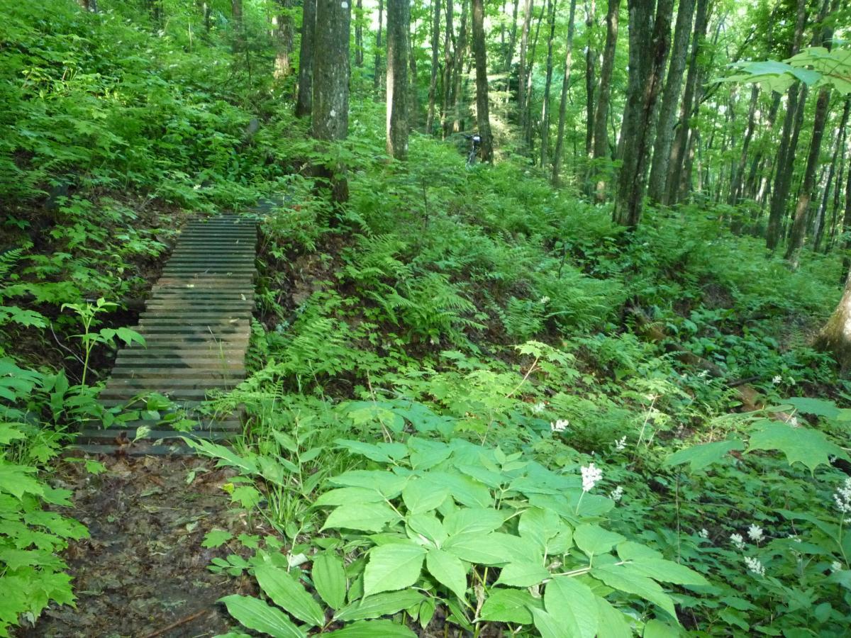
*** Please note the picture of this trail are quite old, all the old bridges have been replaced in 2016 and many of the berms and other features have been updated to make it much more "rideable". This is still very much and expert trails so keep your head up. New pictures will be added this spring.

First added by fishtimmins on Jun 15, 2011. Last updated Apr 28, 2020. → add an update
Before you go
  • Drinking water: unknown
  • Lift service: unknown
  • Night riding: unknown
  • Pump track: unknown
  • Restrooms: unknown
  • Fat bike grooming: unknown
  • E-bikes allowed: unknown
  • Fee required: unknown
This trail information is user-generated. Help improve this information by suggesting a correction.
Getting there
Drive north from Sault Ste. Marie, Ontario on Hwy 17 to Heyden, turn right onto Hwy 556 (Searchmont Highway), drive 7.6 miles to the parking area on left. The parking area is adjacent to the Algoma Central Railway tracks and there is a locked gate blocking the road up the hill.


Bellevue Valley Trail map

Add to or improve this map // Share this map on your website

Local Info

Club Sponsor

-

Local Bike Shop

-

Trail checkins

Pauli Paul (on Aug 18, 2019)
What's this?

Upcoming Events

None.
Add one

Trail conditions

Wet (on Oct 24, 2012)
login to update

Camping & Lodging

Coming soon!

Bellevue Valley videos

Add a video
We don't have any videos of this trail yet. Add one here.

Mountain Bike Trails Near Sault Ste Marie, Ontario

| 1 mi

Add a review

Rating
 
Difficulty
 
Review

Reviews

    Loading reviews...

Rider questions