×

|
Rate it:
Tags:
Level: Easiest
Length: 23 mi (37 km)
Surface: Singletrack
Configuration: Other
Elevation: +471/ -417 ft
Total: 5 riders
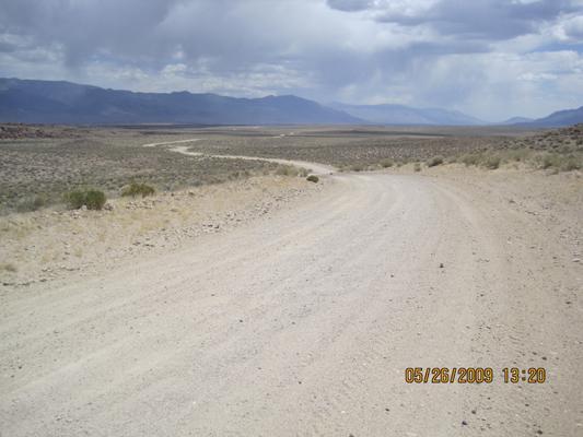
Mountain Biking Volcanic Tablelands
#547 of 1,005 mountain bike trails in California
The Volcanic Tablelands is a vast volcanic landscape that was formed over 700,000 years ago by materials spewing from the Long Valley caldera, located to the northwest.
First added by TrailAPI on Sep 1, 2013. Last updated Apr 28, 2020. → add an update
Before you go
- Drinking water: unknown
- Lift service: unknown
- Night riding: unknown
- Pump track: unknown
- Restrooms: unknown
- Fat bike grooming: unknown
- E-bikes allowed: unknown
- Fee required: unknown
This trail information is user-generated. Help improve this information by suggesting a correction.
Directions:
From Bishop, take State Highway 6 north to Five Bridges Road, then take a left. Proceed on Five Bridges Road 5 miles until it turns into a dirt road. At the entrance to the area, there is a BLM kiosk that provides map and route information for the Tablelands.


Loading reviews...View more