
New York’s Catskill Mountains officially opened a new trail network called Giggle Hollow. The new trails stretch over 11 miles in the Shandaken Wild Forest and are managed by the New York State Department of Environmental Conservation (DEC). Moving forward, DEC is tasking a local trail organization — Fats in the Cats Bicycle Club — with stewarding Giggle Hollow.
While the new trail system is multi-use, over half of the mileage at Giggle Hollow is “purpose-built as singletrack mountain bike trails,” as DEC put it. And these new trails have something we often forget exists outside the mountainous western states: long descents with over 1,000 feet of elevation loss.
A three-mile, 1,100-foot descent
“It’s really unlike anything else in the Catskills,” Steve Maggio told us. Maggio moved to the area a handful of years ago and stumbled upon the beginnings of Giggle Hollow’s trail work. Knowing he wanted to get plugged in, he joined Fats in the Cats and now helps lead trail maintenance efforts.
Giggle Hollow stretches back to 2021 when it was included in a revision of the Shandaken Wild Forest Unit Management Plan. The new network has two trailheads, one on each end of the system, essentially with a mountain in between. The centerpiece of the system is the six-mile “Ridge” trail, stretching point to point between the trailheads.
Maggio also told us that Giggle Hollow definitely requires your climbing legs. Out of the gate, riders on the Ridge trail climb three miles and 1,100 feet. The beauty of Ridge is that the trail reverses after those three miles, giving you a three-mile, 1,100-foot descent down the other side.
This is what Maggio meant when he said that Giggle Hollow was unlike other places in the Catskills. He mentioned that neighboring riding zones like Tannersville and Elm Ridge offer solid options for nearby descending trails, but those descents don’t have nearly the same elevation or distance as Giggle Hollow.
Windham Bike Park could match Giggle Hollow’s descent and distance, but it is obviously a private bike park.
“You can piece together some pretty long downhills at places like Elm Ridge,” Maggio said. “And there are some downhill-specific trails in Tannersville, about 45 minutes to the northeast. But just the length of it and the style of the trail — machine-cut flow — is really unlike anything in that area.”
Intermediate, but intended for anyone
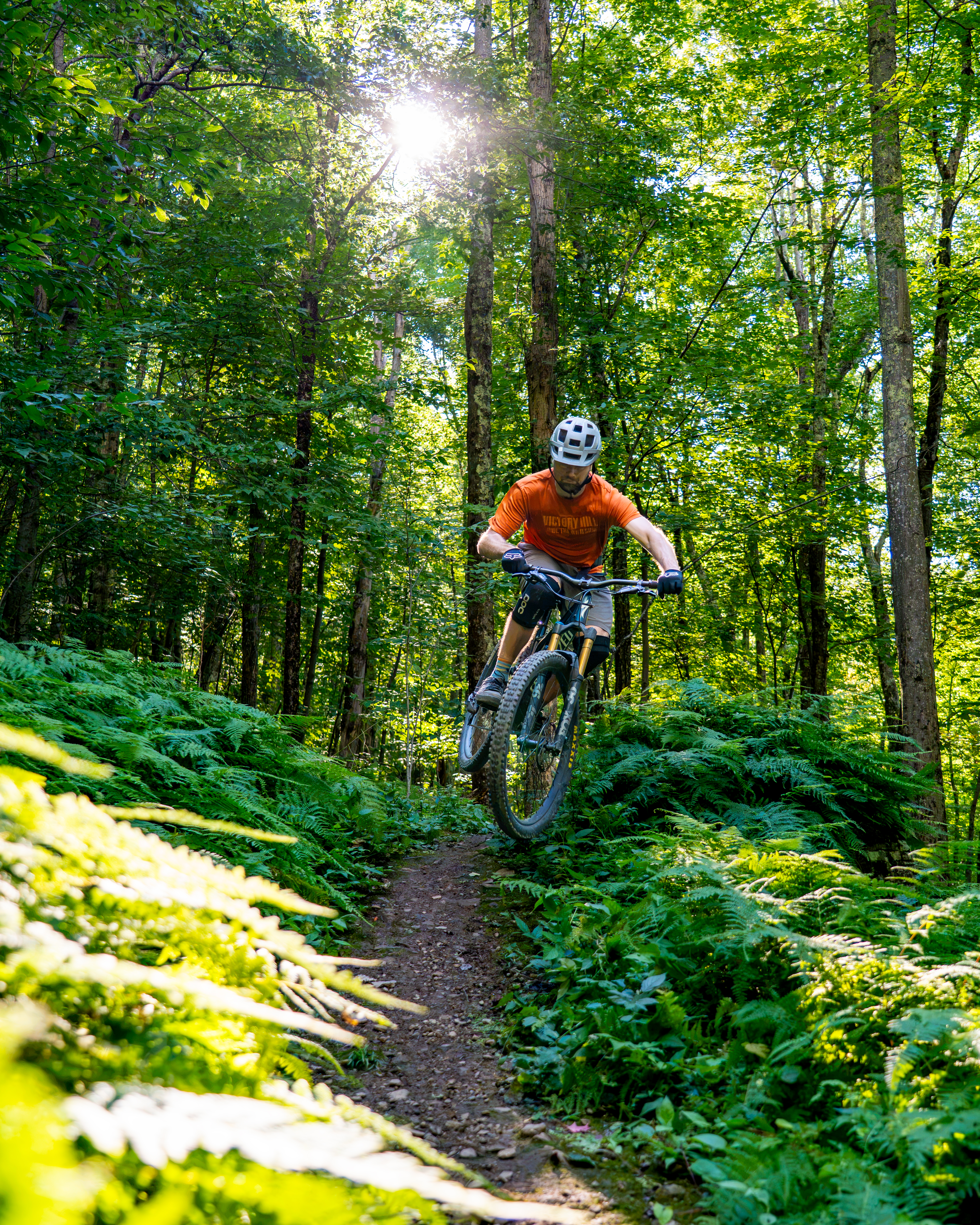
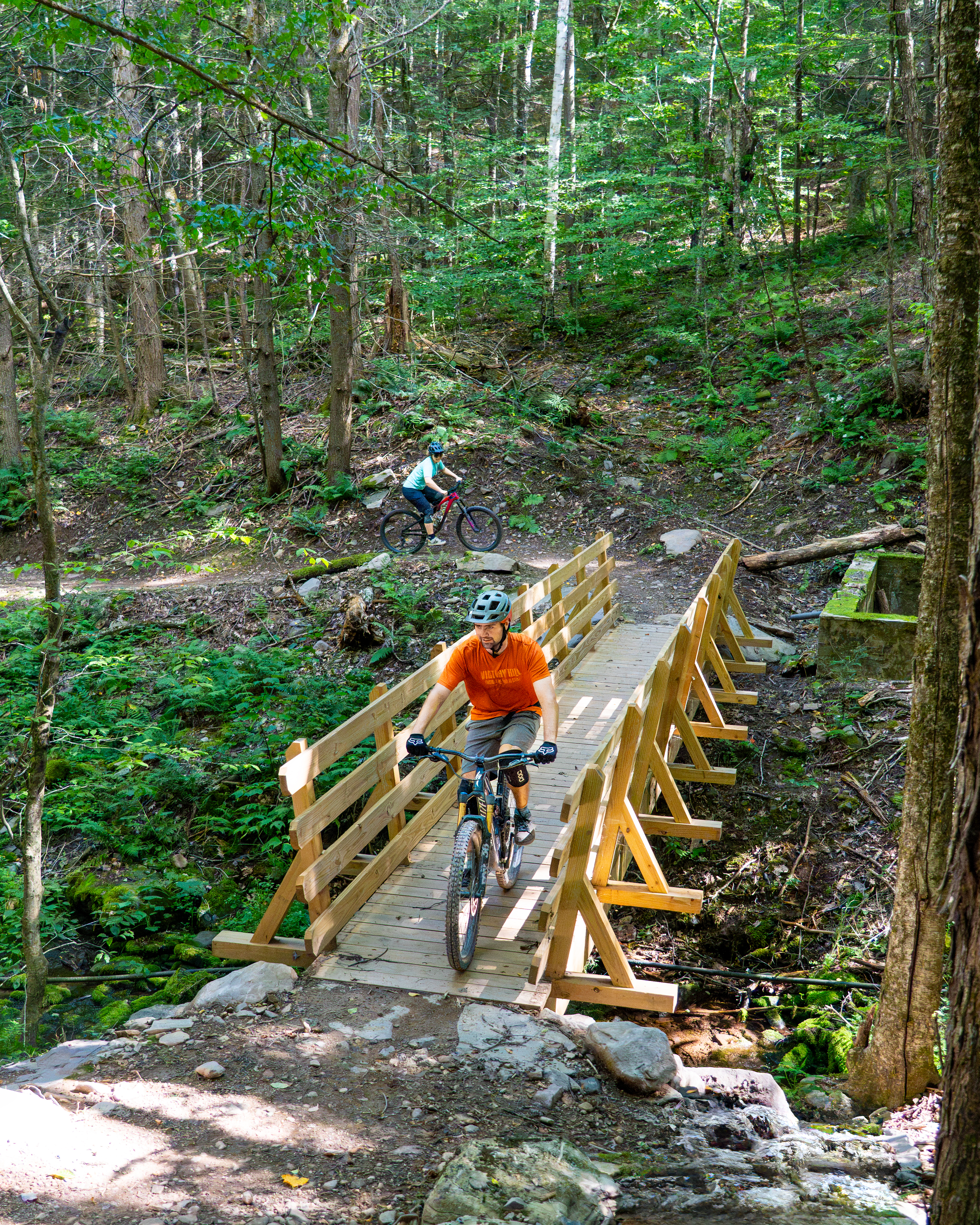
Beyond the multiple-mile descents with significant elevation, Maggio said the new Giggle Hollow trails are distinct in another way. While the northeast portion of the country is known for its rocky, techy, and even jenky trails, Giggle Hallow is decidedly flow.
“It’s all machine-cut flow basically. There are no real technical features to worry about.”
While there could easily be a back-and-forth here about tech vs. flow trails, Giggle Hollow’s decision to focus on the latter does a couple of things for the trail system. First, it provides a bit of a break from the normal XC-tech trails that many in the area are used to riding. Second, it makes the completely intermediate trail system more accessible to riders of all skill levels.
Those just throwing a leg over a bike for their first season can quickly find trails at their level, as long as they learn proper brake control to manage speed. Conversely, seasoned mountain bikers can push speeds higher, turn rollers into doubles, take corners faster, and find ways to push their limits.
Maggio pointed out that the only thing hampering beginner-level riders is the grind of a climb to reach the system’s highest point. Fortunately, the DEC also incorporated other, shorter trails to create smaller loop opportunities. Connected to the Ridge trail are shorter intermediate options like “Mama Bear,” “Thread the Needle,” and “Upper Cut,” which create smaller loops instead of riding Ridge in its entirety.
Or, the riders looking for more of a challenge can still ride the “spiderweb” of connector trails and climb back to the top of Ridge. From there, it is a three-mile, 1,100-foot descent back down to the car.
Advanced riders can also ride Ridge trail from trailhead to trailhead. That makes for a 12-mile day with 2,200 feet of climbing and descending.
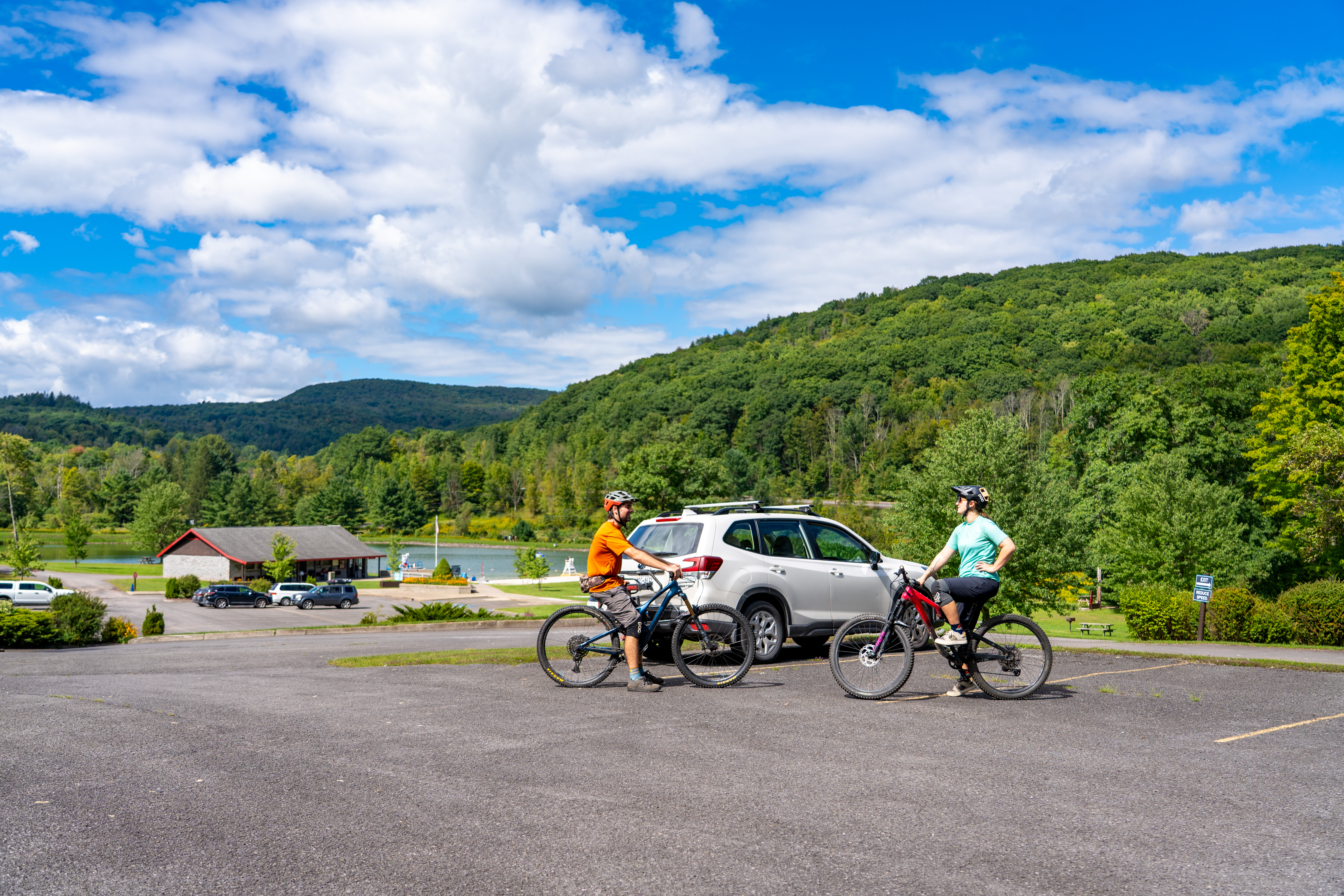
More trail connectivity in the future
Maggio and the Fats in the Cats club are uncertain whether the DEC is “done” with trail development at Giggle Hollow. While there haven’t been any rumors, Maggio mentioned the possibility of a rail-trail-style connector between Giggle Hollow and the nearby Belleayre Mountain Resort.
Belleayre, a winter ski resort, doesn’t have a “bike park” or keep lifts running for bikes in the summer. They do, however, have a few trails open to the public, offering some pretty decent intermediate descending, with stats similar to Giggle Hollow. That said, Maggio mentioned that these trails are shared with hikers and runners, so bikers should be cautious while descending.
Keep up with the latest mountain bike news by adding Singletracks as a preferred source on Google.







0 Comments