Map of Sudden Regional Forest, displaying trails, main trail distance of 3.1 km, parking areas, and location markers. The map highlights areas for hiking, a bench, and notes a temporarily closed boardwalk. The highlighted section indicates "YOU ARE HERE," helping visitors navigate the 88.7-hectare forest. Sudden Forest mountain bike trail.
See all photos (12)
×
User
Today
 
  |   Rate it:

Tags:
Level: Beginner
Length: 14 mi (22.5 km)
Surface: Doubletrack
Configuration: Network
Elevation: -
Total: 1 riders
 

Mountain Biking Sudden Forest

****   Add a review
#182 of 315 mountain bike trails in Ontario
#8,933 in the world

Network of double wide trails through forest and small pond areas. Can be linked by Grand Valley trails to Pinehurst Park and Bannister lake trails and a few more in the area

First added by Paul Loeffelholz on Dec 23, 2019. Last updated Apr 30, 2020. → add an update
Before you go
  • Drinking water: unknown
  • Lift service: unknown
  • Night riding: unknown
  • Pump track: unknown
  • Restrooms: unknown
  • Fat bike grooming: unknown
  • E-bikes allowed: unknown
  • Fee required: unknown
This trail information is user-generated. Help improve this information by suggesting a correction.
Getting there
Sprauges Road


Sudden Forest Trail map

Add to or improve this map // Share this map on your website

Local Info

Club Sponsor

-

Trail checkins

Upcoming Events

None.
Add one

Trail conditions

Good (Mar 16, 2024)
login to update

Camping & Lodging

Coming soon!

Sudden Forest videos

Add a video
We don't have any videos of this trail yet. Add one here.

More trail photos


Mountain Bike Trails Near Cambridge, Ontario

| 0 mi
****
Intermediate | 20 mi
*****
Intermediate | 10 mi

Add a review

Rating
 
Difficulty
 
Review

Reviews

  • Paul Loeffelholz
    ****

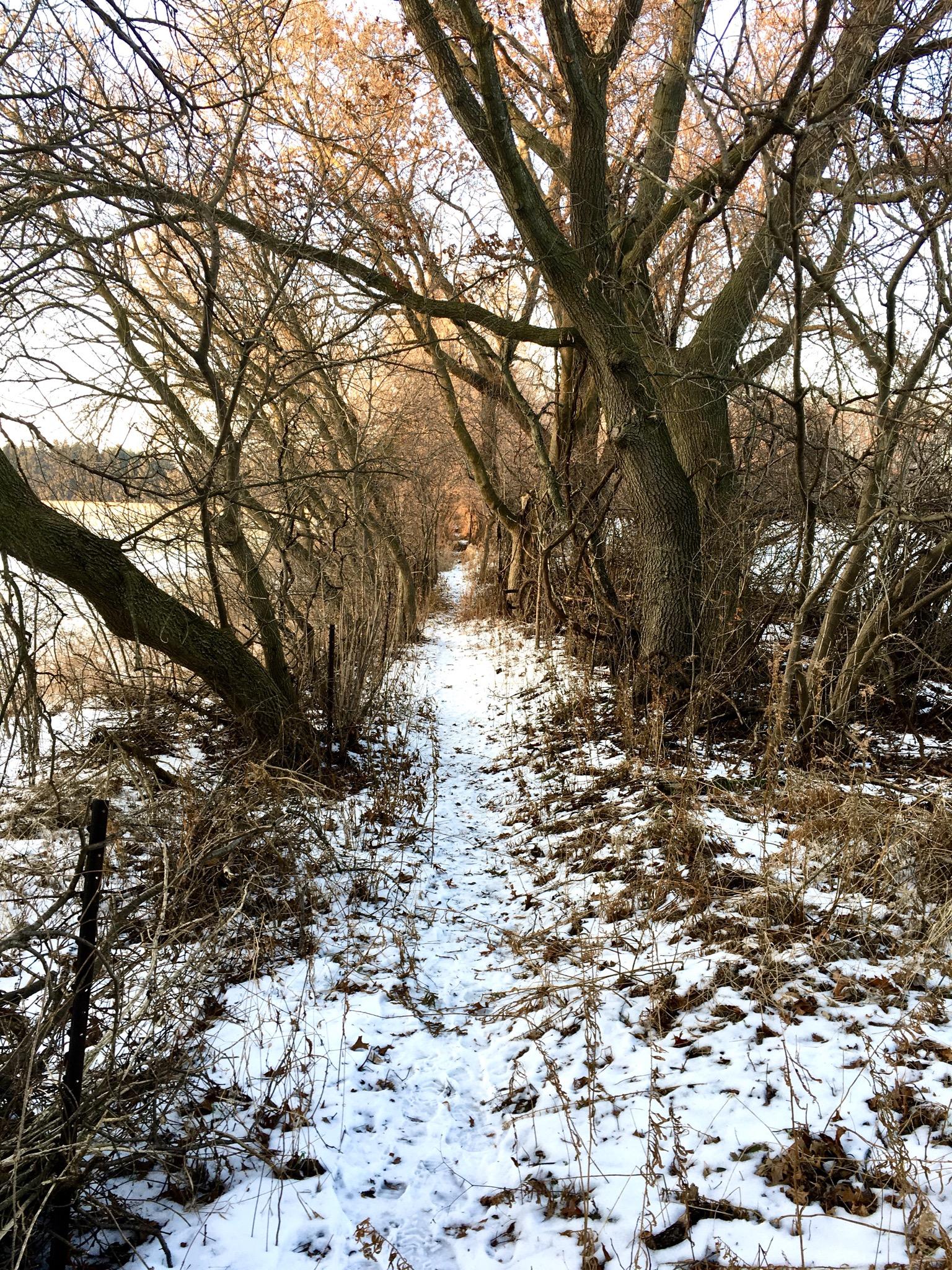
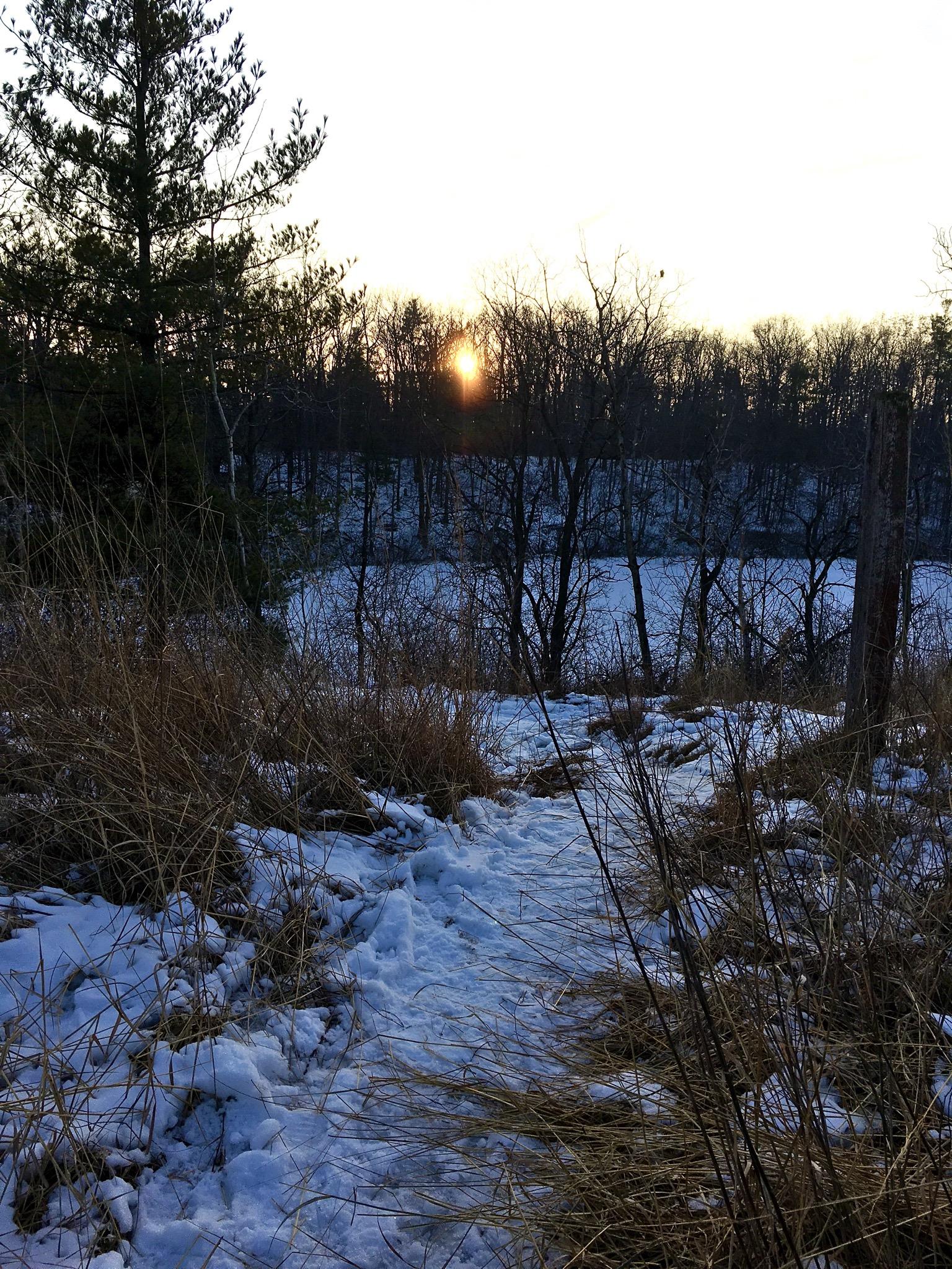
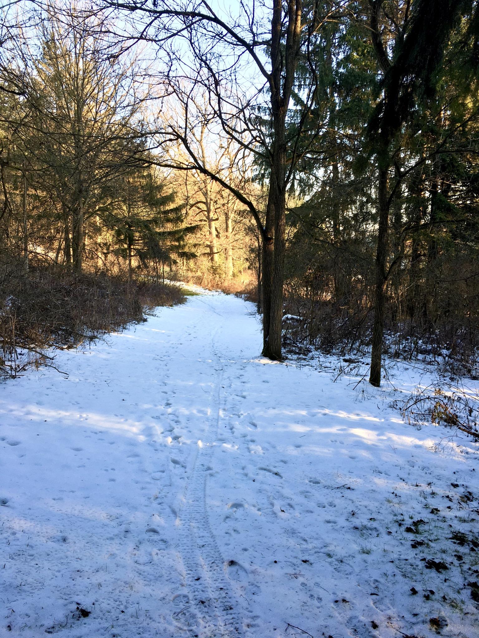
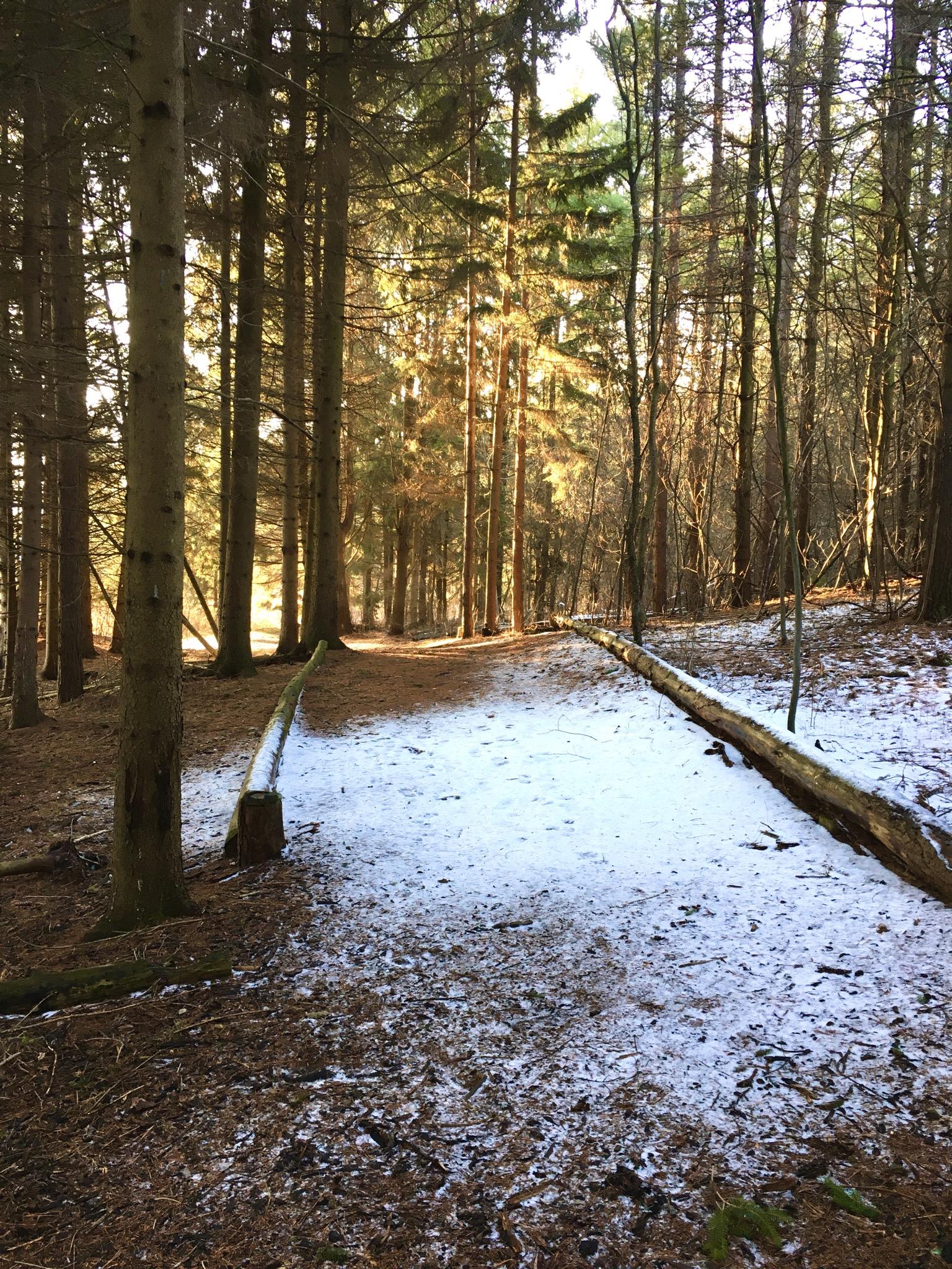
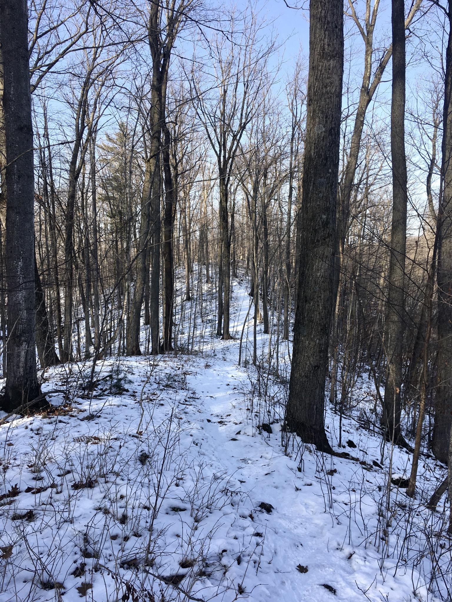
    Good area with lots of rolling hills . Warmer conditions left soft snow . Other trails to close locations make a good loop for a full ride

    Reply | Thank

Rider questions