×

|
Rate it:
Tags:
Level: Beginner
Length: 4 mi (6.4 km)
Surface: Doubletrack
Configuration: Out & Back
Elevation: -
Total: 2 riders
Mountain Biking Ash Creek
#220 of 436 mountain bike trails in Arizona
4 miles in, due west is the maples color area. There are more trails to the south to explore at about 2 miles in. Hundreds of maples in the color area and many more deciduous plants to add color. For peak color look for the first night Willcox drops to 35 degrees for perfect temps. Amazing autumn color spot.
First added by abegold on Jan 9, 2014. Last updated Apr 28, 2020. → add an update
Before you go
- Drinking water: unknown
- Lift service: unknown
- Night riding: yes
- Pump track: unknown
- Restrooms: unknown
- Fat bike grooming: unknown
- E-bikes allowed: unknown
- Fee required: unknown
This trail information is user-generated. Help improve this information by suggesting a correction.
From Willcox it's about 15 miles to Bonita and it's vast greenhouses. Then another 20 miles on dirt roads northwest to Ash Creek. Trail continues to East Divide and Bassett Peak, in wilderness.


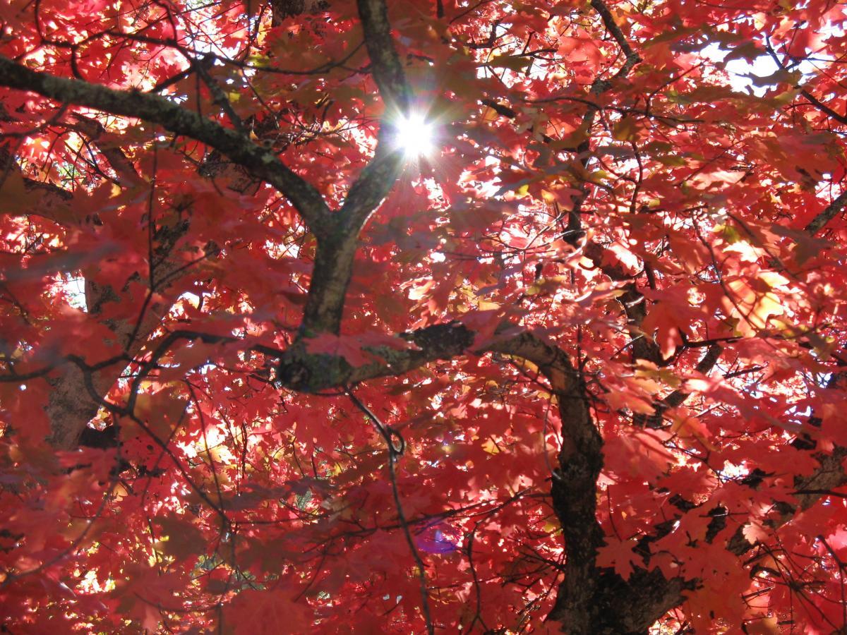

Ash Creek is on the eastern face and southern end of the Galiuro Mountains. The trail is doubletrack most of the way. Bear tracks were on almost all of it and some bobcat and deer. Bring camera! Most beautiful autumn color spot I know in southern Arizona.
| ThankSouth Ash Creek Trail is a doubletrack that runs along the foothills southward to a pond 6 miles from Ash Creek Rd. Rare to have the creek running but it was in 2015.