
New Mexico has some of the best kept secrets in mountain biking. I take secret delight when I mention this to other riders I’ve met, all over the country, that seem surprised when I mention how awesome the trails are in the Land of Enchantment. Having a couple of friends who live there, who ride religiously, and know the trails has helped me discover bits of singletrack I would never have tried by reading a guidebook, talking to local shops, or even reading reviews online. Check out the many trails that John Fisch and Cycling8r have written about in this area.

One of those trails is the 10k trail. I’ve ridden in the Sandias a few times and was impressed with the scenery and the challenge of it. Last season my friend and I went scouting for trails in a system he knows fairly well (but there are still a lot of trails to be discovered) when we saw a score of hefty looking riders on dedicated downhill sleds. Intrigued, we picked their brain before they took off, and based on that conversation we were able to explore the 10k trail.
Directions and information about the trail: From I-40 Eastbound traveling east of Albuquerque, take exit 175 and go North on Hwy 14. As you approach Sandia Park Center, go left (west) on Hwy 536. Pass the Sandia ski resort. When the road splits onto Hwy 165, stay left on Hwy 536 which will take you around several tight switchbacks towards the Sandia Crest (the summit). The parking lot for 10k is about a mile before the Sandia Crest, on the left. The trail starts on the south end of that lot.
This trail, which actually doesn’t require a downhill-specific bike, is still a tech-lovers delight. It is often done by riding up Hwy 536, but because we were pressed for time (and partially out of laziness) we elected to shuttle it. Finding the lot to park in can be a bit tricky (see above) if you do not know the area well, but look for the wide parking lot on the left that is about 80 meters long, near the top of the drive to Sandia Peak a few minutes after you pass the entrance to the Sandia ski resort. There is a visible port-a-john on the opposite side of the road. There are a couple of trails leading west from here, but choose the one that is closest to the road, on the south end of the lot, that parallels the road.

All that to say, the first part would be easy at sea level, but starting this ride at 10,000 feet makes your body work extra hard to extract those precious O2 molecules from your hemoglobin. I am assuming, too, that the 10k trail was named by the elevation in which it starts. The trail is clearly marked once you get moving down the trail, and there will be lots of turns to choose from, so bring a map or a local buddy if you shuttled this ride. To the best of my knowledge, all of the downhill-oriented trails eventually spit you back on the highway, so this will make it easier to find your way back to your vehicle no matter where you parked it on the highway.
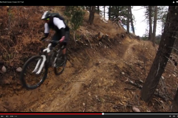
The trail starts in what seems like a deeply-wooded area with tall trees, pine needles that cover the trail, and some tricky roots on undulating terrain with punchy climbs. After a few minutes of warming up on this, the trail starts to take a noticeable turn toward sea level and you’ll pick up enormous speed through technical forest interrupted by wide swaths of tall grass with narrow lines. These areas of grass are easily recognizable as the ski runs at Sandia, so those of you who have skied there will appreciate the loss of elevation as you descend quickly through, and past, the resort, dropping downhill quickly.

After this is when things get a little dicey. Honestly, some of it is a blur because of the sheer concentration it took just to hold on to my bike, but what I clearly remember is this: speed, and a lot of square-edged rocks. In fact, there are lots of rock gardens that pop up along the singletrack, but some have rocks that stick straight out of the ground–ironically like mini-tombstones–waiting to stop your front tire in its tracks and catapult you over the bars into the rocks ahead. Don’t get me wrong, these made for a lively ride, and they are manageable if you have the skill and pay attention (a long travel bike helps), but they are not forgiving at all. Expect to at least scrape a bottom bracket or your chainring a few times.

Where you parked below will dictate what route you should take after you finish the 10k portion of the trail. As we approached the various trailheads on this gorgeous August weekend, we were presented with more and more uphill hiker traffic. We encountered very few bikes coming uphill, though, and for good reason: only someone who enjoys the pain of training uphill on a technical trail would choose to go against gravity on 10k. Needless to say, all of the bikes going uphill that I remember were near trailheads near the bottom–not up at the 10,000 foot mark where we started.
Our route followed 10k to Tree Spring to Oso Corridor to Bill Spring. After Tree Spring, the trail was still fast and fun but a lot less technical than 10k. In fact, the last couple of miles were relaxing compared to what we started on, even though Oso Corridor is no joke. We ended our ride at the Sulphur Canyon lot, which is a great place to set up a lower shuttle vehicle.
I’ve ridden a lot of trails in New Mexico, especially around Albuquerque. There are so many it is difficult to chose a favorite, but this one stands out as a trail that’s chunky and fast, without being so technical that you risk your bacon just to prove that you did it. My buddy and guide said that one of his friends, a pure XC rider, calls this her favorite local trail. I think anyone would enjoy it if they took their time to choose their lines carefully, so definitely check out 10k if you are in the ABQ area.


6 Comments
Jan 4, 2015
Jan 4, 2015
Jan 4, 2015
Jan 4, 2015
Jan 4, 2015
Hidden Gems in other places than Albuquerque:
Eagle, CO
http://www.singletracks.com/blog/mtb-trails/eagle-has-landed-as-a-mountain-bike-destination-that-is/
St. George/Hurricane, UT
http://www.singletracks.com/blog/mtb-trails/spring-break-singletrack-trek-the-sequel-part-4-holy-guacamole-batman-its-suicidal-tendencies/
Nationwide:
http://www.singletracks.com/blog/mtb-trails/10-trails-i-like-more-than-you/
Kansas!
http://www.singletracks.com/blog/mtb-trails/turkey-time-tour-de-prairie-final-take-sunflower-state-singletrack/
Texas Panhandle!
http://www.singletracks.com/blog/mtb-trails/turkey-time-tour-de-prairie-take-1-texas-panhandlin/
Fairplay, CO
http://www.singletracks.com/blog/mtb-trails/south-park-singletrack-a-fairplay-fourplay/
Price, Ut
http://www.singletracks.com/blog/mtb-trails/spring-break-singletrack-trek-the-sequel-part-5-price-is-right-for-mountain-biking/
Suburban DC--The Maryland Side:
http://www.singletracks.com/blog/mtb-trails/dcs-dirty-dozen-part-1-mtb-trails-on-the-maryland-side/
and The Virginia Side
http://www.singletracks.com/blog/mtb-trails/dcs-dirty-dozen-part-2-the-virginia-side/
Green River, UT
http://www.singletracks.com/blog/mtb-trails/spring-break-singletrack-trek-the-sequel-part-1-green-river-greenhorns/
An unknown gem that's as dandy as anything in Moab:
http://www.singletracks.com/blog/mtb-trails/the-other-trail-appendix-2-flat-pass-moab-ut/
Taos, NM
http://www.singletracks.com/blog/mtb-trails/before-the-south-boundary-turning-cranks-in-taos/
Vernal, UT
http://www.singletracks.com/blog/mtb-events/trip-report-comfortably-numb-in-vernal-utah-part-ii/
Prescott, AZ
http://www.singletracks.com/blog/mtb-trails/spring-break-singletrack-trek-part-vi-p-s-prescottsedona-i-love-you/
Multiple locations
http://www.singletracks.com/blog/mtb-trails/mountain-biking-the-b-trails-5-routes-you-may-have-missed/
Far NW New Mexico:
http://www.singletracks.com/blog/mtb-trails/spring-break-singletrack-trek-part-i-new-mexico/
Wyoming and Montana:
http://www.singletracks.com/blog/mtb-trails/mountain-biking-in-big-sky-country-part-i/
and more Montana:
http://www.singletracks.com/blog/mtb-trails/mountain-biking-in-big-sky-country-part-ii/
These are just the ones I know of off the top of my head. If your preferred geography isn't listed here, there's a good chance it's still somewhere on Singletracks.
Jan 5, 2015