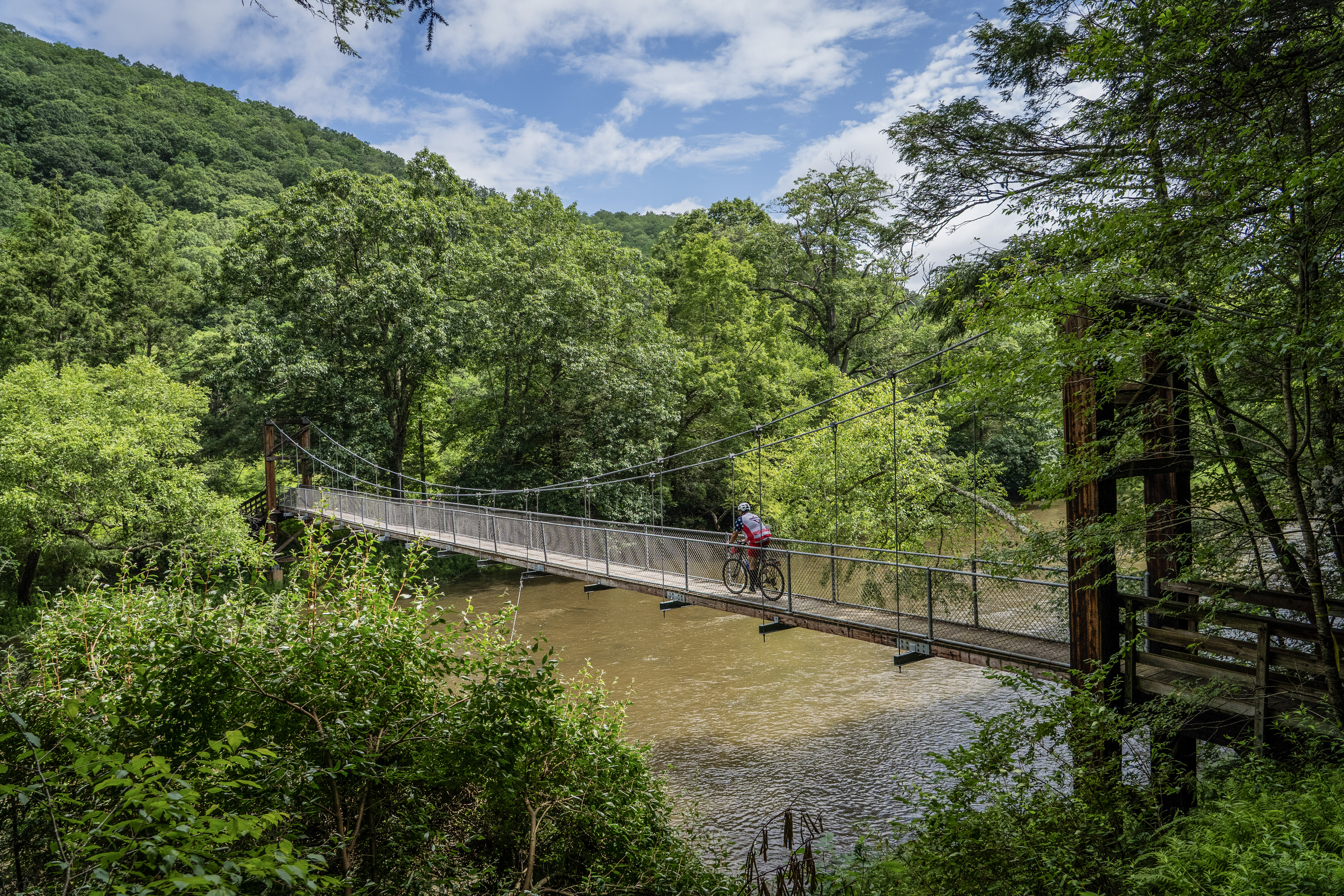
A new network of 66 mapped bikepacking routes has just launched in West Virginia’s Monongahela National Forest. Known as the “Mon Forest Gravel and Bikepacking Route Network,” the founders claim this is “the largest curated gravel bikepacking route network in the Eastern United States.”
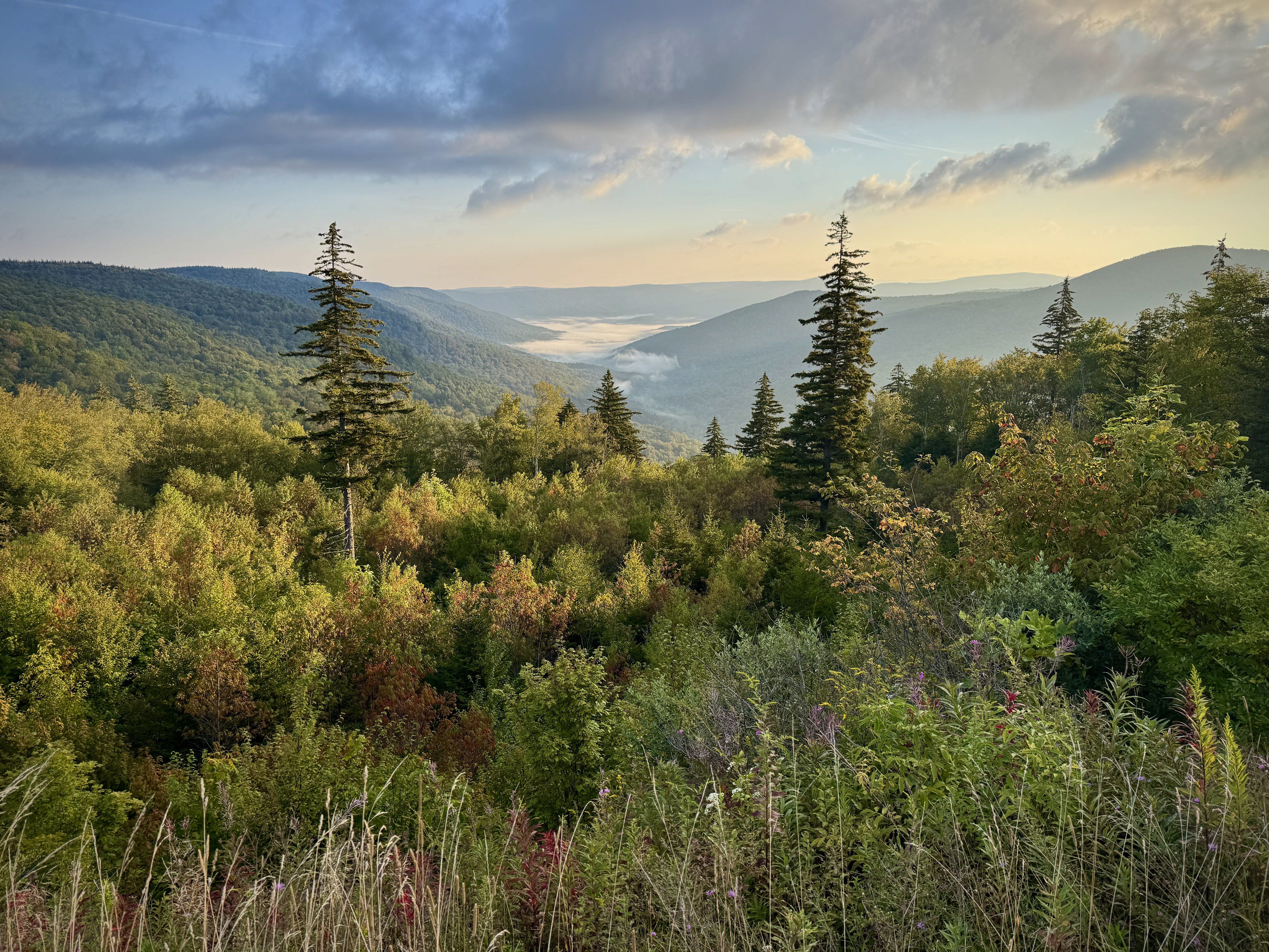
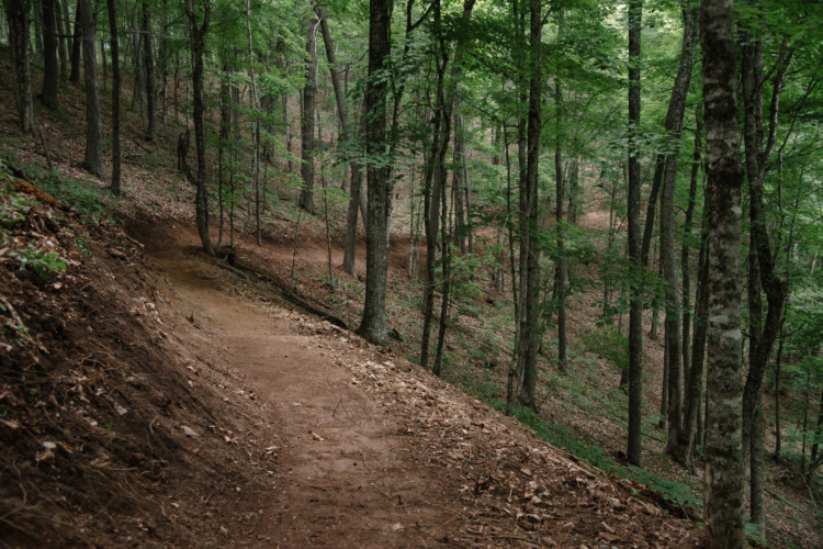
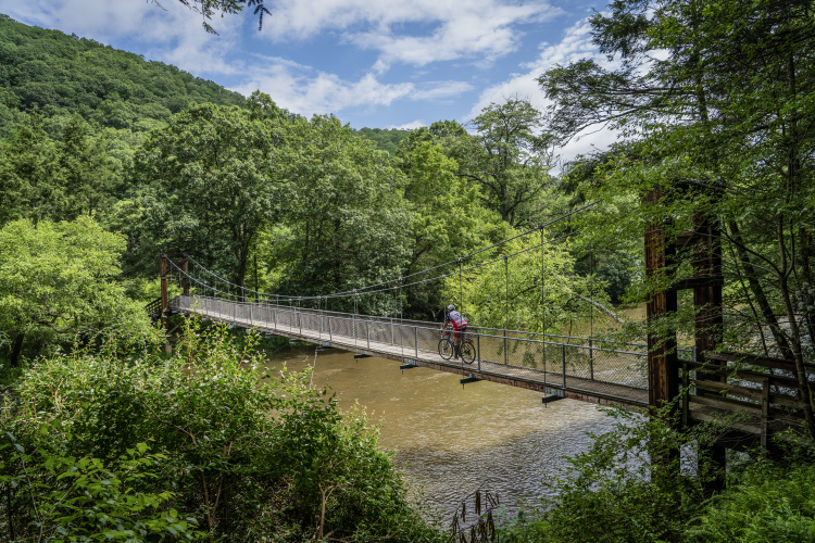
This new network of interconnected routes traverses “the Mon,” which “covers nearly one million acres of rugged Appalachian terrain, including high spruce plateaus, deep river valleys, remote backcountry, and thousands of miles of forest roads,” according to a press release. “Within and around the forest, State Parks, Wildlife Management Areas, Wilderness Areas, and historic mountain towns unfold across a landscape uniquely suited for multi-day gravel riding and bikepacking.”
Twelve different towns are spread throughout the network, and most of the routes pass through one of them, offering opportunities to resupply or enjoy town-based luxuries like a fresh meal and a bed. And if you want to connect all 12 towns in one epic ride, the Mon Circuit 600 is for you. Measuring 594 miles long, the route climbs about 55,000 vertical feet over its distance, creating a massive loop that visits every corner of the Mon.
A true variety of routes to choose from
This route network was created through the collaboration of Village to Village (V2V) Trails, Bikepacking Roots, MountainRides LLC, the Mon Forest Towns Partnership, and Ride with GPS. With such experienced planners on the team, they realized that planning a single 600-mile halo route wasn’t enough. Instead, they crafted a full range of routes that have been collected into curated Ride with GPS collections for easy reference.
The route network begins with gravel day rides: 42 routes measuring 10-80 miles. It then steps up to overnighters, with 25 routes ranging from 20-100 miles. The top tier consists of six 100+ mile multi-day backpacking routes.
In addition, they’ve published a “Ride to the Mon” collection, which displays routes that link the Monongahela National Forest to major nearby cities like Washington, DC; Harrisonburg, VA; Morgantown, WV; and many more. These routes utilize famous bike paths like the Great Allegheny Passage (GAP) and the C&O Canal Towpath. They also provide connections to the Mountaineer Gravel network, located near Charleston, WV.
Other curated collections include Beginner / Family-Friendly recommendations, Signature Bikepacking Routes, and Greatest Hits.
Finally, each of the 12 towns also offers its own collection of curated routes that begin in that town.
While all of the routes are hosted on Ride with GPS, more in-depth planning information can be found on the Mon Forest Towns and Bikepacking Roots‘ websites.
Preparing to ride the Mon
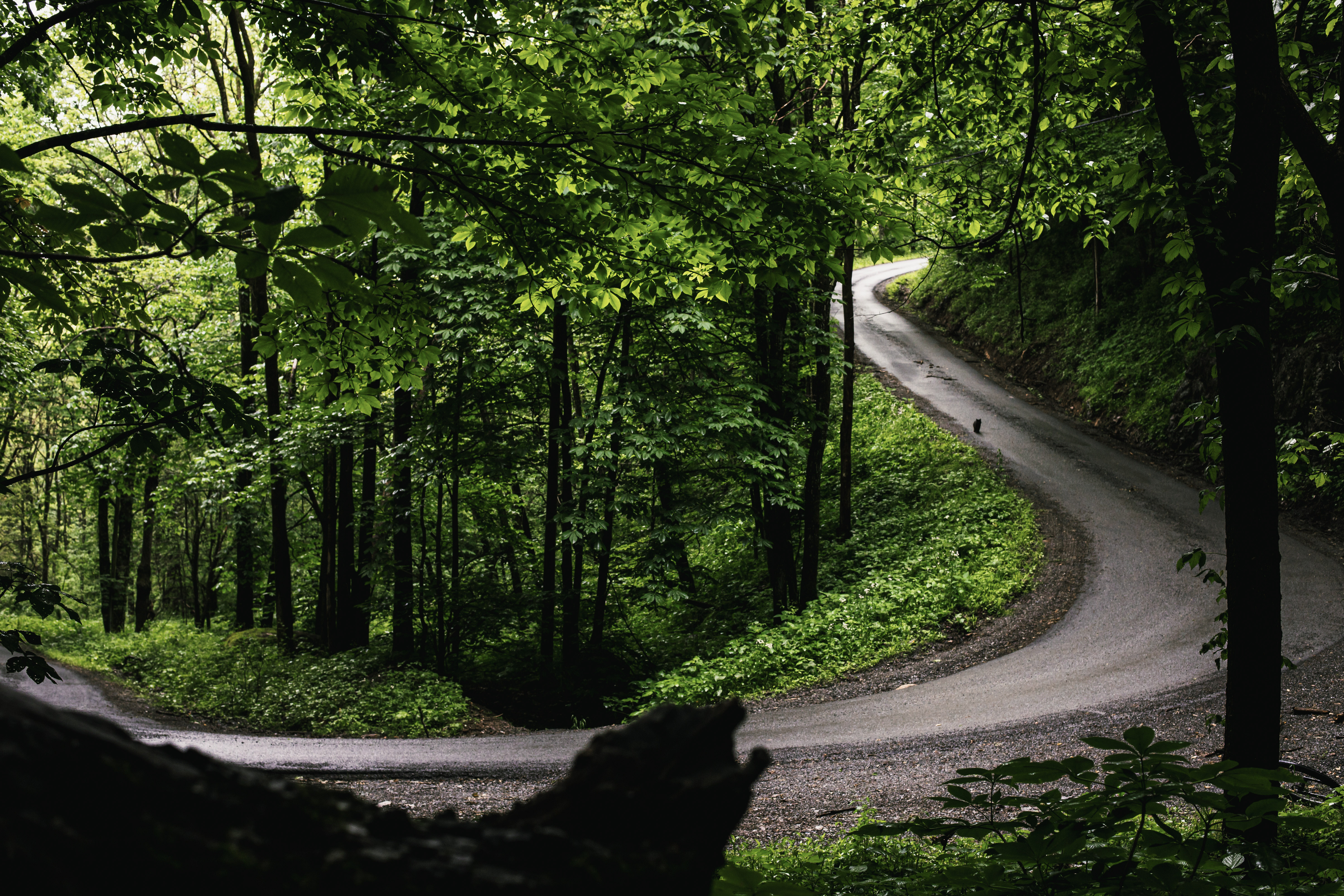
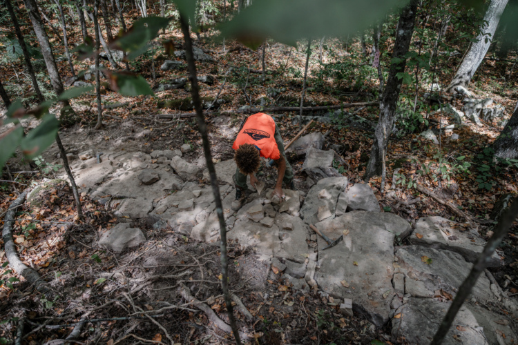
The Mon is remote and rugged, with limited to no cell phone service and no resupply between towns. The routes are unmarked, requiring riders to navigate using offline GPS routes. While there’s limited infrastructure between towns, the forest itself provides a wealth of dispersed camping opportunities, and the lush Appalachian mountains generally provide ample water sources.
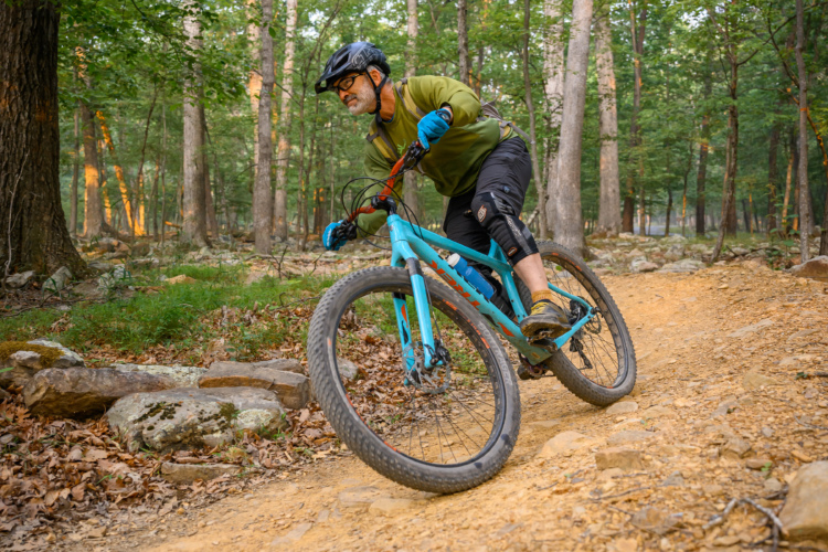
Ride with GPS notes that the best riding season runs from May through October, with September and October offering peak conditions. The recommended bike setup is a gravel bike with 40- to 50mm-wide tires or a hardtail mountain bike. However, some routes do include sections of singletrack, so be sure to dig into your desired route to learn more.
“With this launch, we’re excited to help establish the region as a world-class destination for gravel and bikepacking,” said David Landis of V2V Trails. “The Mon has always been a hidden gem for cyclists who knew where to look, but this network changes that — it makes the full depth and variety of the forest navigable for anyone, from someone planning their first overnight to a rider seeking an epic route with 50,000 feet of climbing.”


0 Comments