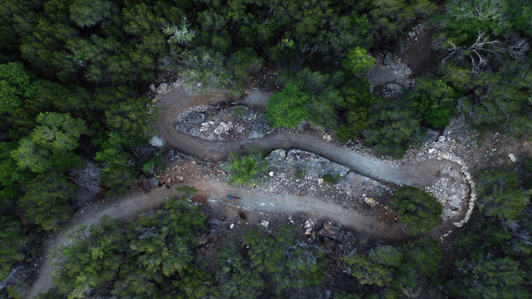
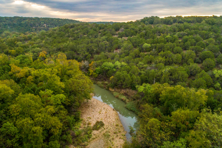
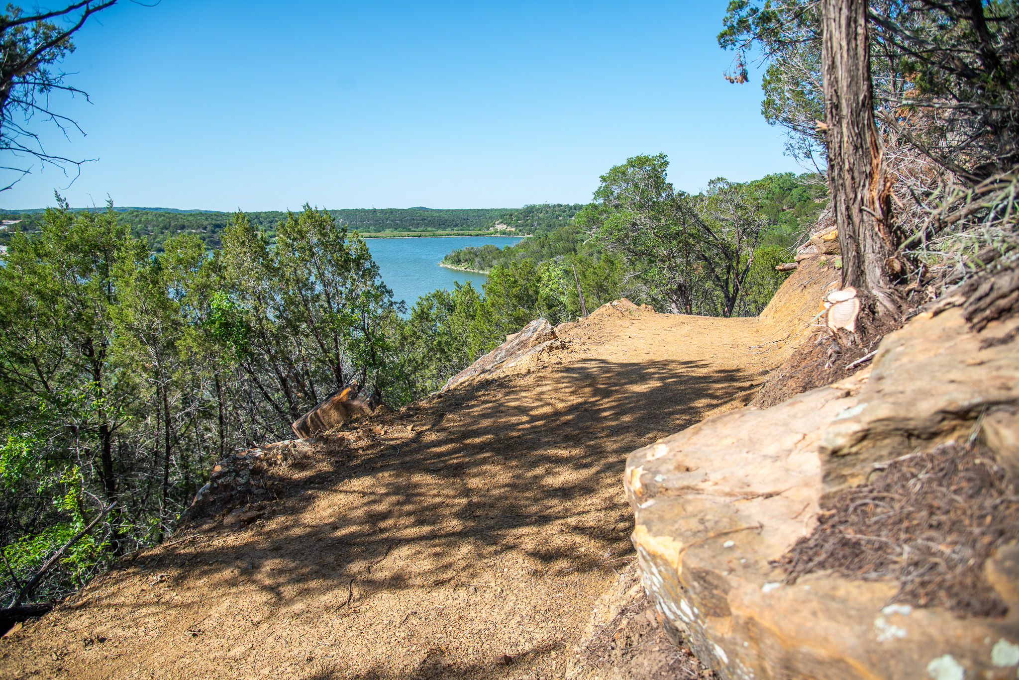
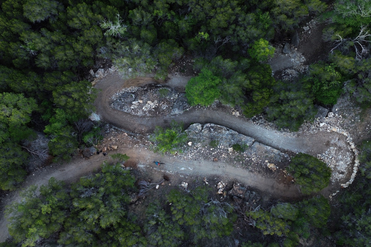
Palo Pinto Mountains State Park packs nearly 16 miles of multi-use trail into a rugged slice of North Texas canyon country, with routes that roll and wind through cedar breaks, rocky outcrops, and open ridgetops. The core of the network is made up of 4- to 6-foot-wide natural-surface trails that ride like modern mountain bike singletrack, only super-sized, with rolling contours, grade reversals, and rock armoring that keep the experience engaging without ever feeling overly technical. Riders can expect big-sky views, mellow grades, and a fast, flowing feel that begs you to keep the pedals turning, whether you are cruising on an acoustic bike or treating the system like a racetrack on an e-bike.
Closer to the trailheads and main use areas, surfaced ADA-accessible paths offer a hard, StaLok-treated tread that holds up well in wet weather and invites every type of user onto the landscape. These four-foot-wide trails are ideal for families pushing strollers or riders spinning an easy warmup lap, linking day-use zones, the fishing pier, and lakeside viewpoints into short, scenic rides. From there, you can peel off onto the natural-surface loops to string together longer routes that venture deeper into the park’s 4,871 acres, with plenty of room to spread out and explore.
Despite the generous width of most of the network, Palo Pinto does hide about a mile of narrower singletrack where the trail pinches down and feels a bit more old-school and intimate. Elsewhere, the wide tread pays dividends for passing, social riding, and equestrian traffic, allowing hikers to walk three or four abreast and giving everyone their own lane without constant bar-to-bar negotiations. Sightlines are generally good, the grades are manageable, and the tread is built to handle both high-use weekends and emergency access when needed, making Palo Pinto a rare North Texas trail system that is both beginner-friendly and legitimately fun for seasoned riders looking to open it up.