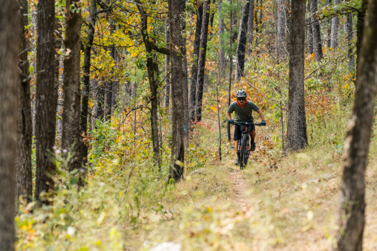
The Ouachita NRT was historically a hiking trail, but the vast majority of the route is open to mountain bikes — and it's becoming more well-ridden thanks to the rise of bikepacking.
The entire ONRT runs for 223 miles from Talimena State Park in Oklahoma to Pinnacle Mountain State Park near Little Rock, Arkansas. About 137 miles of the trail are open to mountain bikes, with a critical 106-mile segment running through the Ouachita Mountains near Hot Springs.
"The Ouachita Trail has definitely traditionally been a hiking trail. We are very thankful that they allow us to mountain bike it," said Meredith. "So it's tough. It is a different flavor from the rest of the trails in the area. There are definitely hike-a-bike sections on it."
Unlike the other long-distance trails, the ONT offers three-sided shelters spaced every 10 miles. These shelters are perfect for backpackers and bikepackers looking for a little extra protection while spending the night, especially during one of Arkansas's many rainstorms. Each shelter offers a porch, table, a fire pit, and is usually located close to a water source.
It's possible to bypass around the closed sections of trail using fantastic dirt roads instead.
 | Ouachita Trail: Foran Gap | 13 mi | |
| Ouachita Trail: Irons Fork Scenic Area | 17 mi | |
 | Ouachita Trail: Wolf Pinnacle | 21 mi |


 4
4
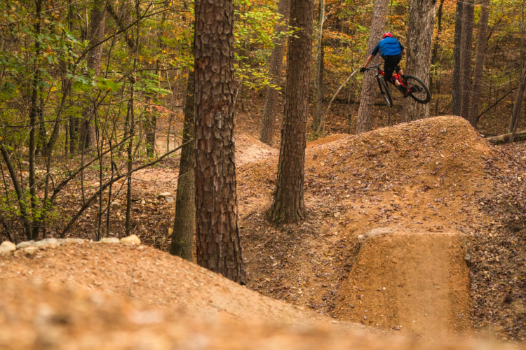
Fantastic riding experience, grunt climbs, fast downhills tight singletrack, 5 star views. Do not bring beginners on any section of the Ouachita trail , they will puke , bleed or both
| ThankYou get to the trail head on HWY 71, between Y City and Mena. You can't miss the huge sign. (Pic posted) This place is like remote forest, when you get out on the trail its like mile 68 or something like that. Nice trail, just part of the large network and like I said, remote. No cell signal, so I couldn't check in to Singletracks. Rocky, sticks, some pine needles, and creeks to cross. Nice relaxing, getaway ride. Would love to and will do much more when I stay in Hot Springs.
| ThankThis trail is fantastic but get ready to do some climbing to get to the fantastic views and ridge line. There is a huge variety of terrain from smooth dirt, to rocks, to roots, to tight switchbacks. There are some spots that are rough technical uphills but nothing you can't walk your bike up if you have to. There are many four wheel road bailouts but if you think the four wheel paths would be easier than going back up the severe switchback you just came down, think again because they go straight up. The views on this trail are to die for. I would NOT recommend this to beginners.
| Thank