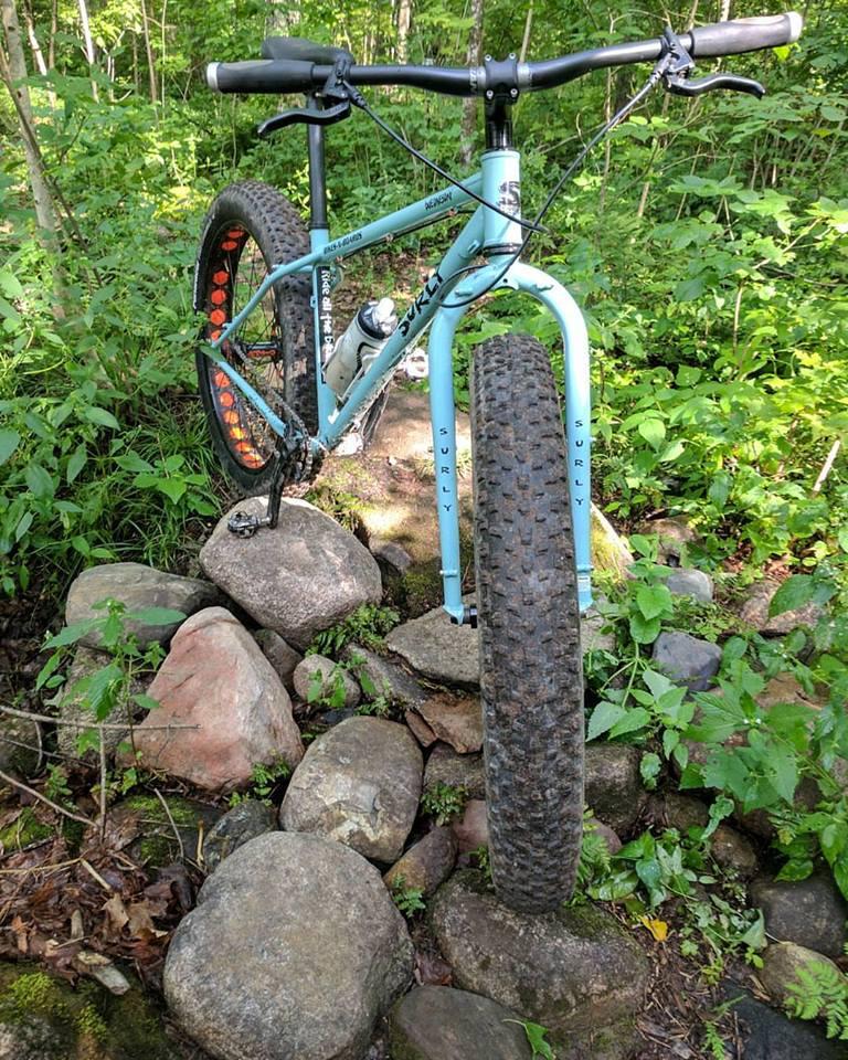
Otter Springs Singletrack trail photo
See all photos (4)
×
User
Today
 
  |   Rate it:

Tags:
Level: Intermediate
Length: 5 mi (8 km)
Surface: Singletrack
Configuration: Loop
Elevation: +42/ -42 ft
Total: 4 riders
 

Mountain Biking Otter Springs Singletrack

*****   Add a review
#57 of 389 mountain bike trails in Wisconsin
#2,439 in the world

New system being built by the Forest County Area Singletrack Association. A little over 2 miles of singletrack. Some flow, some technical, decent elevation change.

First added by Kyle Lewis on Sep 21, 2017. Last updated Nov 2, 2020. → add an update
Before you go
  • Drinking water: unknown
  • Lift service: unknown
  • Night riding: unknown
  • Pump track: unknown
  • Restrooms: unknown
  • Fat bike grooming: yes
  • E-bikes allowed: unknown
  • Fee required: unknown
This trail information is user-generated. Help improve this information by suggesting a correction.
Getting there
East of Crandon on Highway 8 about 5 miles.
Featured in


Otter Springs Singletrack Trail map

Add to or improve this map // Share this map on your website

Local Info

Club Sponsor

-

Local Bike Shop

Trail checkins

Upcoming Events

None.
Add one

Trail conditions

(on Apr 25, 2024)
login to update

Camping & Lodging

Coming soon!

Otter Springs Singletrack videos

Add a video
We don't have any videos of this trail yet. Add one here.

Add a review

Rating
 
Difficulty
 
Review

Reviews

    Loading reviews...

Rider questions