×

|
Rate it:
Tags:
Level: Advanced
Length: 3 mi (4.8 km)
Surface: Singletrack
Configuration: Network
Elevation: -
Total: 2 riders
Mountain Biking Oso Corredor
#130 of 287 mountain bike trails in New Mexico
The Oso Corredor trail alternates between very steep and nearly level as it works its way up the east slope of the Sandia Mountains. It is punctuated throughout its length with long, technical rock gardens. It can be ridden both directions, but gravity really helps get through those rock gardens on the way down (little traveled highway 532 makes a good uphill leg if you don't mind pavement).
First added by John Fisch on Sep 29, 2013. Last updated Apr 28, 2020. → add an update
Before you go
- Drinking water: unknown
- Lift service: unknown
- Night riding: unknown
- Pump track: unknown
- Restrooms: unknown
- Fat bike grooming: unknown
- E-bikes allowed: unknown
- Fee required: unknown
This trail information is user-generated. Help improve this information by suggesting a correction.
The lower end of the Oso Corredor Trail starts at a three intersection with the north end of the Faulty Trail and the upper end of the Bill Spring Trail. It then continues to roughly parallel highway 532 until it terminates at its top end by running into the Tree Spring Trail.
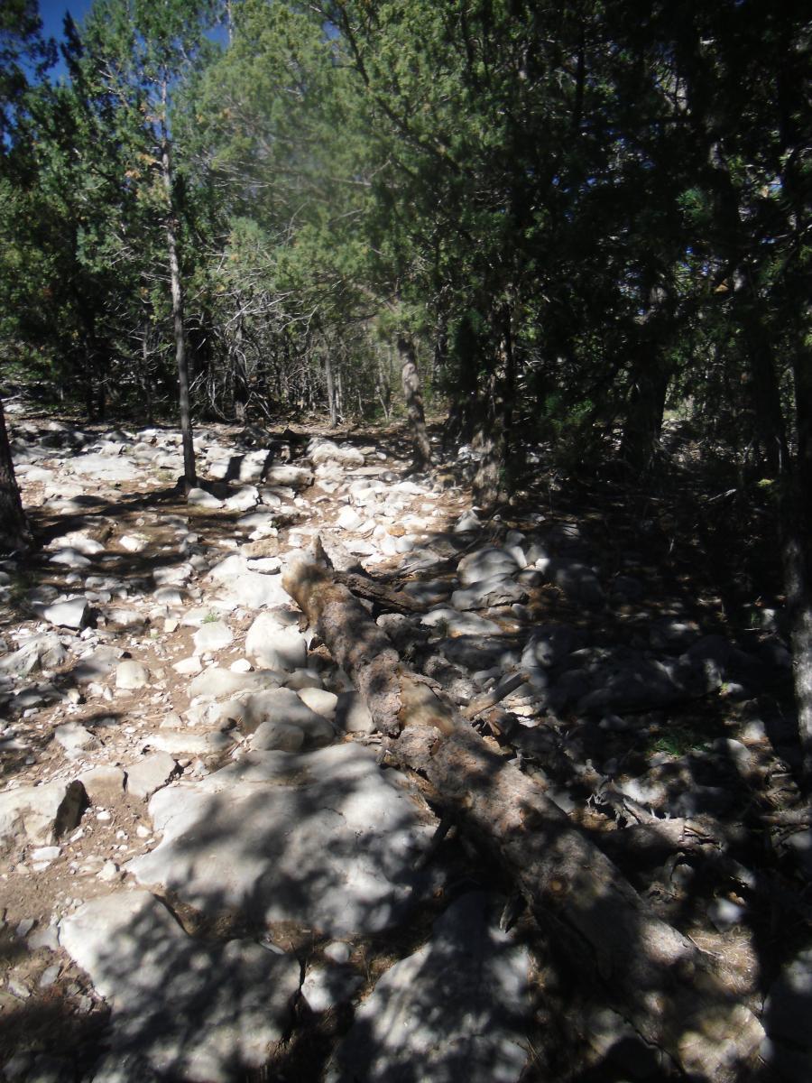

This is a great test piece, especially as a climb! I like to ride it as an out and back and challenge myself on the rock gardens going up and then enjoy gravity pulling me through them on the way down. If you don't want to do an out and back, there are loop options incorporating the highway or shuttle options as well.
| Thank