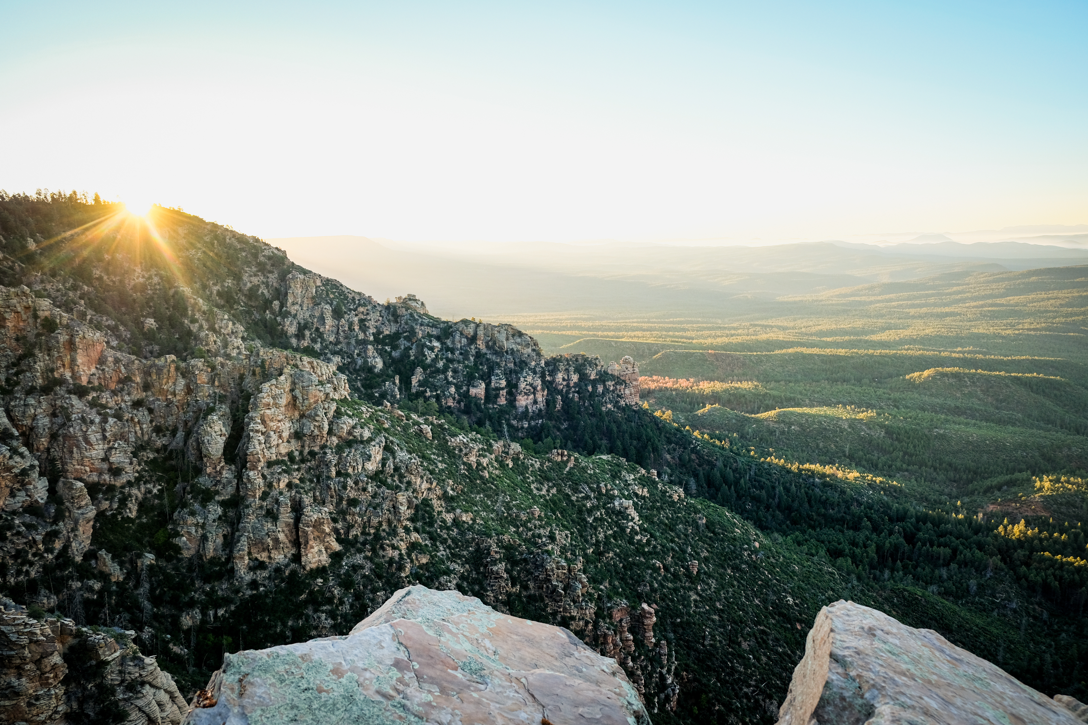
A scenic view of a mountainous landscape at sunrise, featuring rocky cliffs in the foreground and lush green valleys stretching into the distance. The sun casts a warm glow, illuminating the peaks and creating rays of light against a clear sky. Highline Trail mountain bike trail.
×
User
Today
 
  |   Rate it:

Tags:
Level:
Length: 60 mi (96.6 km)
Surface: Singletrack
Configuration: Out & Back
Elevation: -
Total: 0 riders
 

Mountain Biking Highline Trail

  Add a review
#284 of 425 mountain bike trails in Arizona
#15,889 in the world

The Highline Trail is an epic 60-mile point-to-point trail that has had major sections recently rerouted. Part of the Highline trail also provides part of the Arizona Trail alignment, but other portions of the Highline trail are distinct from the AZT.

First added by Greg Heil on Apr 23, 2025. Last updated Apr 23, 2025. → add an update
Before you go
  • Drinking water: unknown
  • Lift service: unknown
  • Night riding: unknown
  • Pump track: unknown
  • Restrooms: unknown
  • Fat bike grooming: unknown
  • E-bikes allowed: unknown
  • Fee required: unknown
This trail information is user-generated. Help improve this information by suggesting a correction.
Getting there
Payson, AZ
Featured in
Sunrise over a mountainous landscape, with sun rays breaking through the trees and cascading across the rocky terrain. The scene captures lush green forests and layered hills in the distance, showcasing the beauty of nature at dawn.
  4


Highline Trail Trail map

Add to or improve this map // Share this map on your website

Local Info

Club Sponsor

-

Local Bike Shop

Trail checkins

Upcoming Events

None.
Add one

Trail conditions

(May 1, 2025)
login to update

Camping & Lodging

Coming soon!

Highline Trail videos

Add a video
We don't have any videos of this trail yet. Add one here.

Mountain Bike Trails Near Payson, Arizona

*****
Easiest | 11 mi
| 10 mi

Add a review

Rating
 
Difficulty
 
Review

Reviews

Rider questions