×

|
Rate it:
Tags:
Level:
Length: 6 mi (9.7 km)
Surface: Other
Configuration: Out & Back
Elevation: -
Total: 0 riders
Mountain Biking Harvey Mountain
#992 of 1,381 mountain bike trails in British Columbia
A steady climb to a meadow with spectacular views. Elevation gain is pretty good. Would take hikers 4 hours to hike the 3 miles in one direction.
First added by chuckpelley on May 26, 2016. Last updated Apr 22, 2020. → add an update
Before you go
- Drinking water: unknown
- Lift service: unknown
- Night riding: unknown
- Pump track: unknown
- Restrooms: unknown
- Fat bike grooming: unknown
- E-bikes allowed: unknown
- Fee required: unknown
This trail information is user-generated. Help improve this information by suggesting a correction.
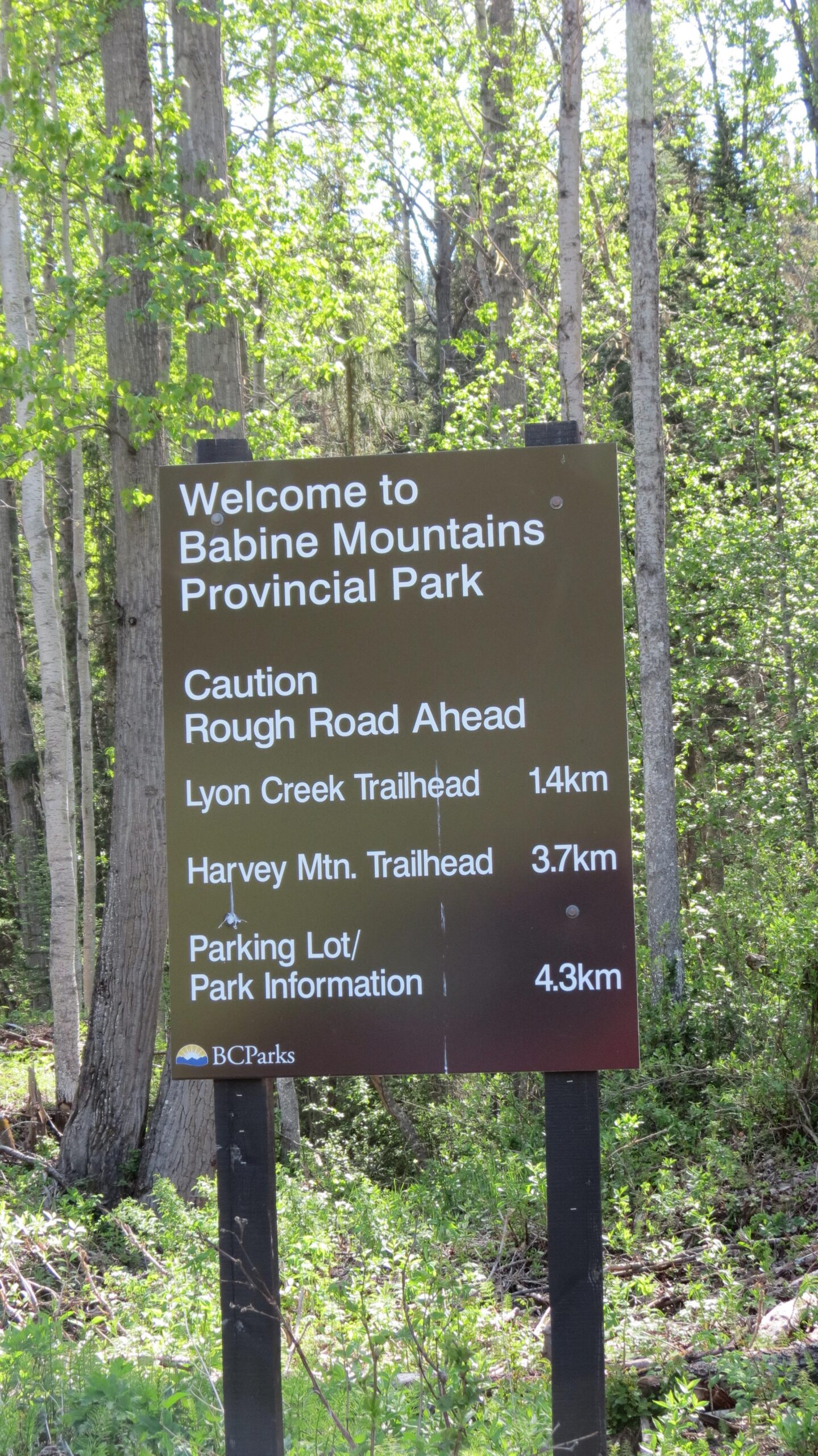
Once you enter Babine Mountains Provincial Park you will travel roughly 3.7 miles to the trailhead. There will be a sign on the right hand side of the gravel road. You will pass the Lynn Creek trailhead first (no biking there).