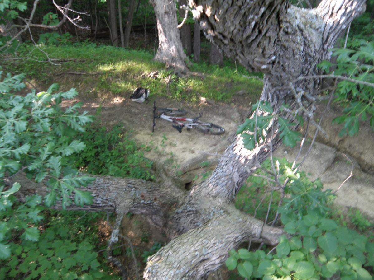
Trails are located along the bottom of the ravine and along the the outside tops. Extremely gnarly going up or down the steep edges of the raving with softball-soccerball sized rocks everywhere and roots sticking up 8'' or more. Smooth and fun sailing once you're down by the creek, beautiful area with lots of bridges and opportunities to cross by riding through the creek - Fun! Some really unique trees and some bridges are not finished so you get to ramp off them! I recommend for a 30 minute drive. Beautiful park in every season, trails for every skill level, and camping available on site. What it lacks in total miles, Ft. Defiance more than makes up with well maintained technical trails. Trails shared with hikers and horses.


Very fun trails with a fair amount of elevation in some areas. Trails are well maintained and there are trail expansions in the works. Spring Creek is the best place to start from. This is a fast and flowy trail that leads North to the Flume Trail that you can either take East or West. If you take the West route, that will lead you to an uphill climb to the North Trail. The North Trail has some tight switchbacks that lead to a rock garden turn and then that leads into the Ridge Trail. All of the existing trails are currently non-directional, so they basically all interconnect at the Spring Creek intersection. Link for the trails map - https://naturalatlas.com/state-parks/fort-defiance-2064697
| Thank