
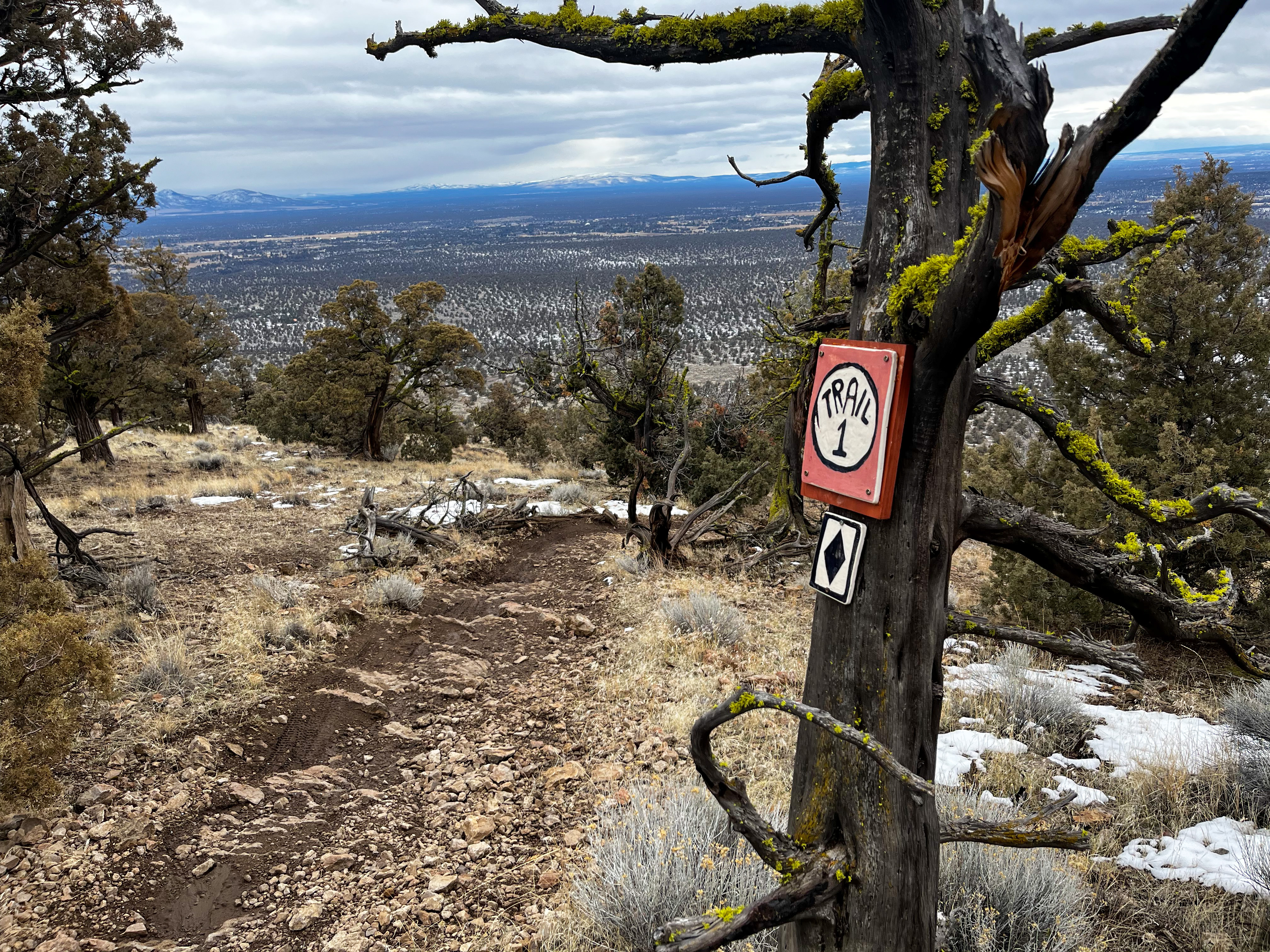
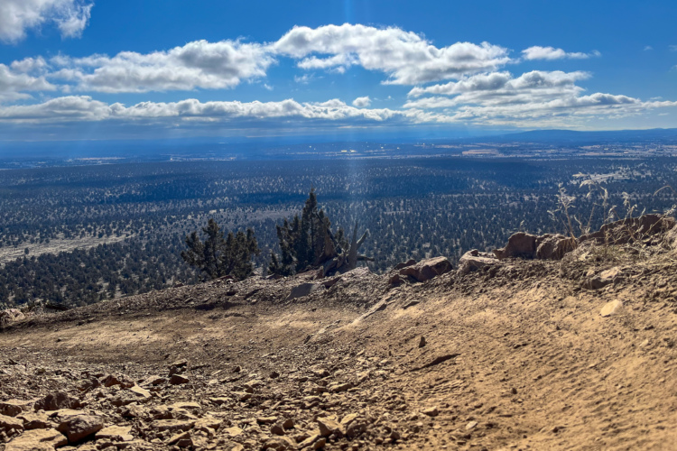
Cline Butte likely has the most technical descending in all of Bend, Oregon. Especially during shoulder season and the winter months, locals flock to Cline to ride the steep, loose, and chunky terrain the butte’s reputation is built on.
But some may not know Cline Butte is part of a larger trail network that boasts over 30 miles of singletrack in Central Oregon, known as the Cline Buttes Recreation Area (CBRA). The CBRA trail network consists of three trailheads — Cline Butte, Cascade View, and Maston — with much of the recent work happening at Cline Butte.
Central Oregon Trail Alliance (COTA) has worked hard over the last few years to add more trails and build a progressive, cohesive network. And, aside from some cattle guards and an official trailhead, COTA can finally say that CBRA is done.
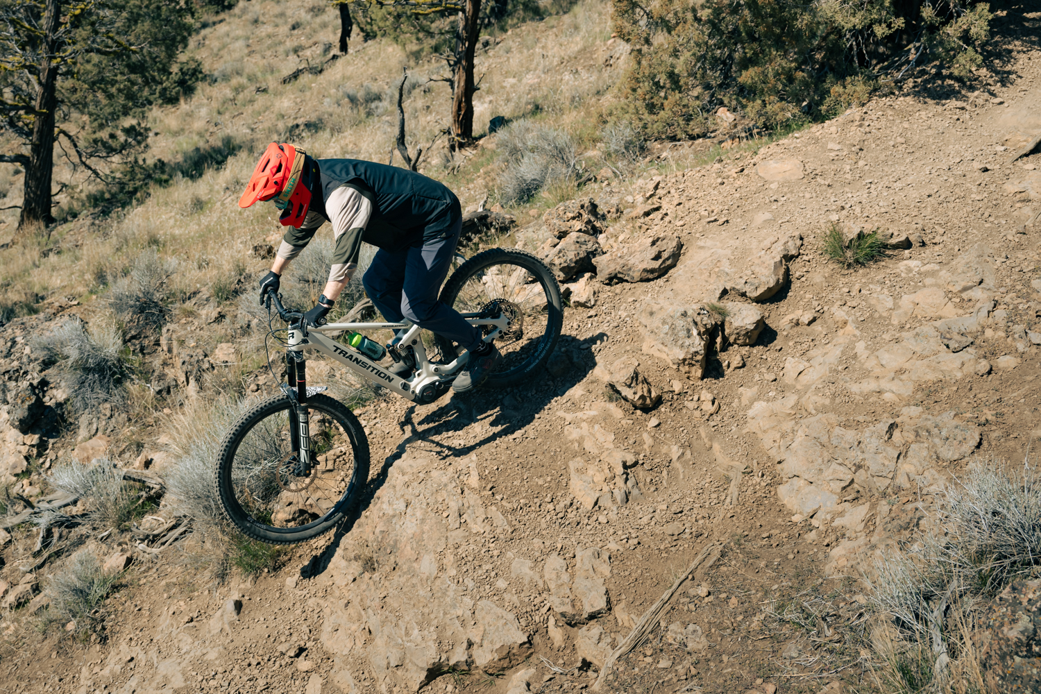
Rerouting a popular descent gets riders off private property
The terrain at Cline Butte is steep and rocky, with its three main descents, appropriately named DH1, DH2, and DH3, easily landing as black and double-black options. DH1 and DH2, black and double-black, respectively, remained unchanged through these updates. DH3, which can blur the lines between black and double-black, saw a significant reroute.
“We originally looked at keeping it right at the boundary of where the private property is,” Brieger said. “It would have [kept more] features, but then you would have just traversed.”
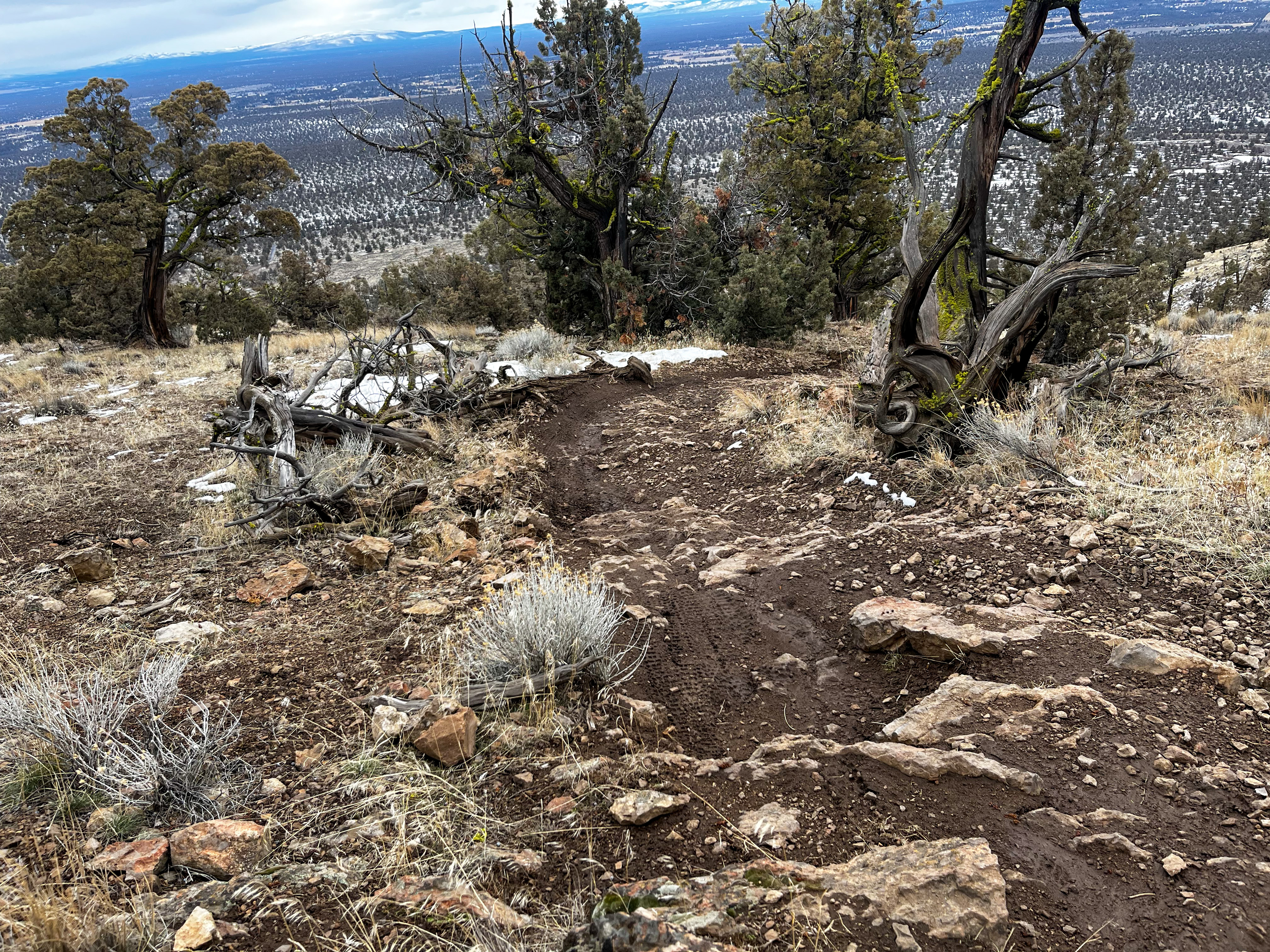
The issue with DH3 was that it dropped too far to the south and onto private property. COTA needed to get the trail back east, reconnecting at the bottom with the two other DH trails. Stopping the existing trail at the property boundary would have left a long, somewhat uphill traverse to stay off private land. Instead, COTA chose roughly halfway down DH3 to start the reroute, leaving the top portion alone.
They also tried to incorporate new features and terrain that would keep the trail difficulty at the same advanced level — doubles, a gap over a small tree, and lots of rock tech. The finalized DH3 is over three-quarters of a mile and descends nearly 700 feet.
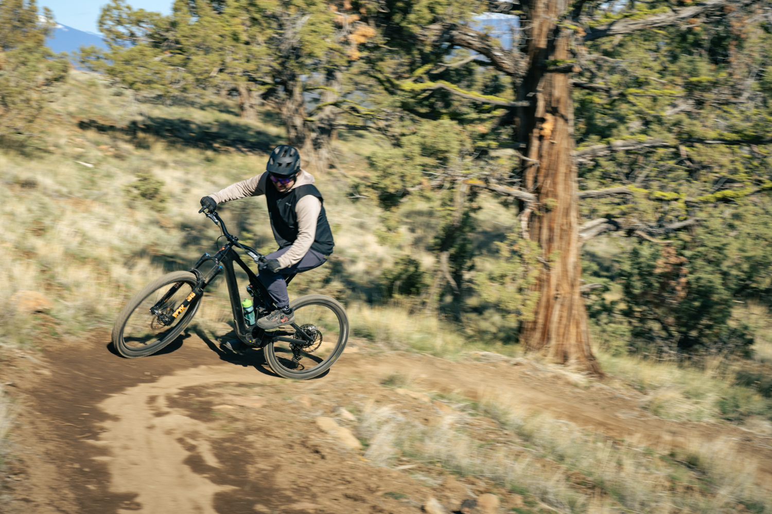
Cline also adds new climbing and cross-country trails
Bend and Central Oregon locals head to Cline Butte for some of the most technical descending around. Getting up to those descents, however, was a different story.
One common climb was an access road wrapping around the back of the butte to the southwest — a bit longer, yes, but certainly a manageable climb. But it was also on private property. Crossfire became the solution.
“It’s four-foot wide, bench cut, machine built, designed for people that don’t pedal uphill,” Brieger said.
Crossfire is green and climbs two miles and nearly 800 feet to the top of Cline Butte. Brieger said they intentionally built the trail wide to make passing hikers and bikers as easy as possible. For bikes, Crossfire is uphill only, while foot traffic can go either way.
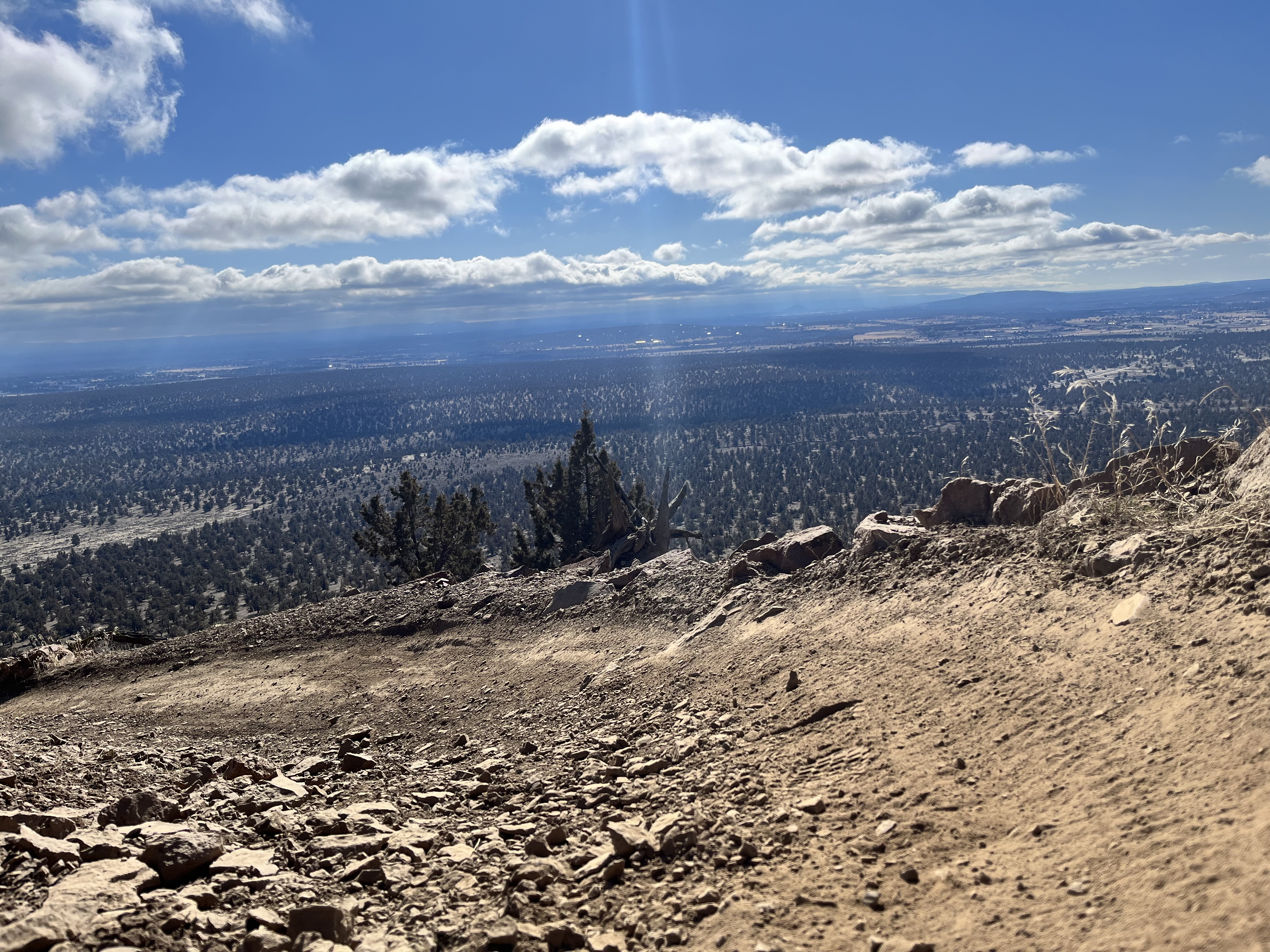
The other option for climbing is a newly built trail called Legal Eagle, heading northeast on Cline. The name comes from a portion of the former “XC Trail” that crossed through eagle habitat, which would close Cline Butte during nesting season. However, the trail not only served as a connector route to the top of the butte, but also as a popular two-way XC trail. Unfortunately, even with eagle closures, COTA and the BLM still saw people ride and hike through the eagle nesting zone.
Legal Eagle is also green, two miles, and climbs nearly 400 feet before reconnecting to the existing XC Trail. COTA placed the trail further east, well out of the eagle nesting zone. While it can be used as a climbing connector to the top, it also connects to the XC offerings at CBRA. Legal Eagle connects to XC Trail, which riders can take to Bull Snake, opening up the Cascade View trails from the Cline Butte trailhead. Cascade View offers over 10 miles of singletrack in a series of stacked loops, with intermediate tech climbs and descents.
Cover Charge secures access to the top from the north side
Going around the north side of Cline Butte means a longer grind on the XC Trail, which eventually connects riders to Crossfire. However, this portion of the XC Trail is on land that the BLM currently leases, and future access isn’t guaranteed. Brieger told us that the newest climbing trail, Cover Charge, promises access to the top from Cline’s north side.
“So at some point, if that land ever gets sold, if it doesn’t go back to the BLM, there is a potential that we lose access to that side of the XC trail,” he said. “This is where Cover Charge comes in.”

Cover Charge is uphill only, climbing just over 400 feet in one mile off the XC Trail. It connects with Crossfire just half a mile from the top of Cline. Brieger said it received an intermediate rating because it’s a bit more technical and steeper than the other climbing options. That said, they utilize quite a few switchbacks to keep the incline manageable. It also provides a more direct connection to the top of Cline for riders coming from Cascade View.
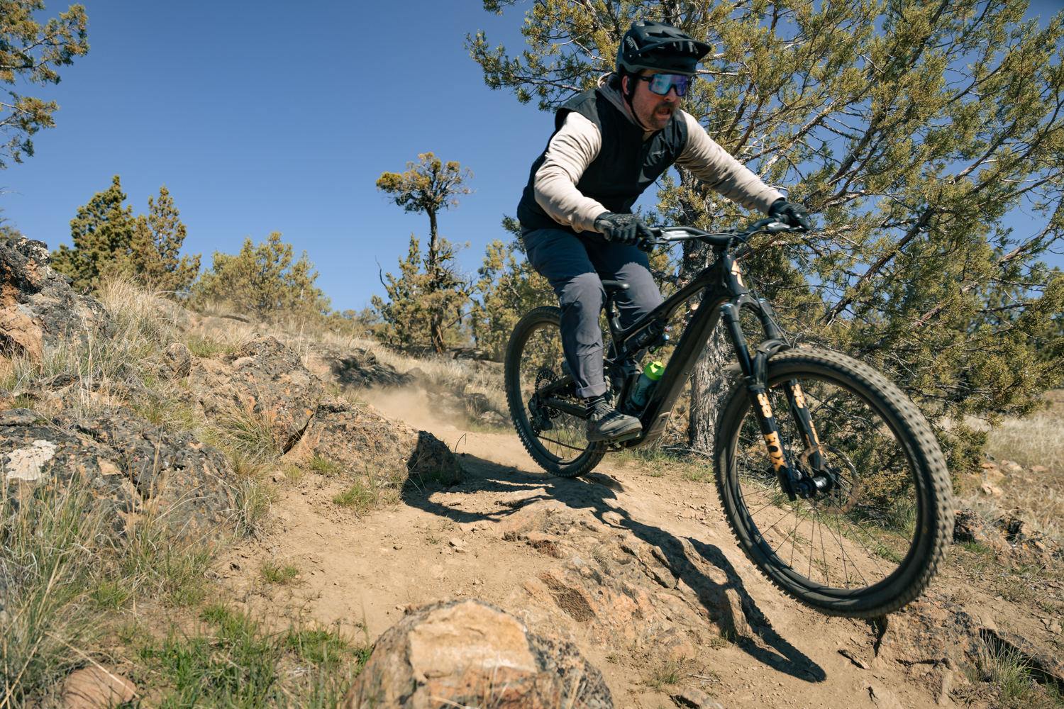
From blue to black and uphill only to multi-directional
Brieger told us about two other significant changes at Cline Butte. When we last spoke with COTA regarding Cline, one of their goals with the new build was to provide an intermediate descent from the top. So, they reworked an existing trail and opened The Goat. This “blue” descent drops over 200 feet from the top and connects to The Saddle, another blue descent that takes riders all the way to the bottom.
The problem was that The Goat was very dark blue, likely black. Its steep, loose terrain, combined with a spicy rock roll at the top, had many riders walking significant portions of the quarter-mile descent. And walking in the loose and steep terrain also isn’t easy.
Because The Goat was more advanced, riders were taking a climbing-only trail dubbed Return Policy down to more solidly blue descending options. Return Policy also passes through challenging, technical terrain on the climb, so it seemed riders descending would only be a matter of time.
Changing the trail to multi-direction made sense.
Fortunately, the sight lines at Cline Butte are spectacular. Blind corners, if there are any, are few and far between, making the shift from a directional Return Policy to multi-directional relatively easy. The change provides a blue descent from the top all the way to the bottom and also allowed The Goat to be more appropriately rated as a black descent.
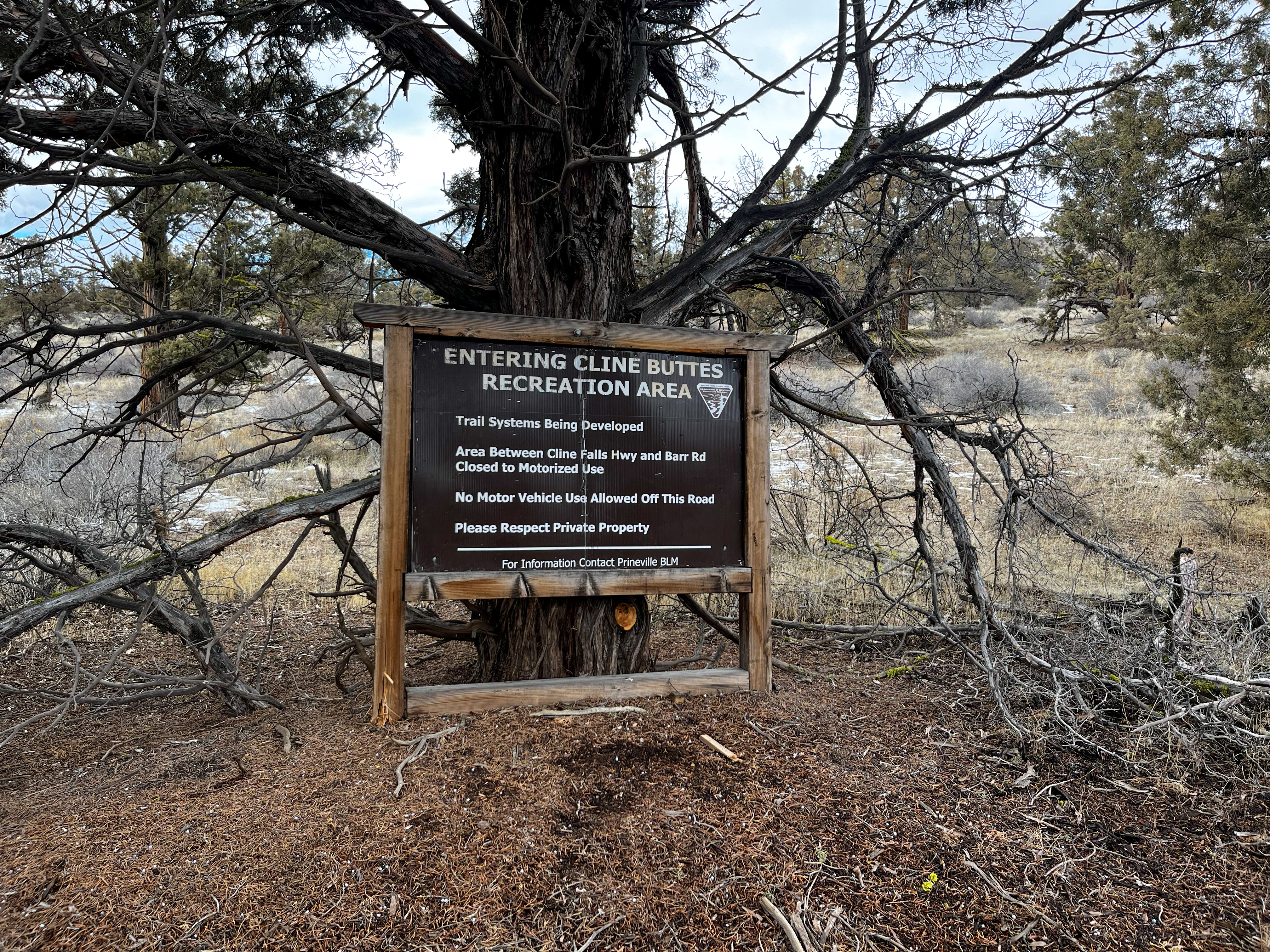
Creating a beginner-, intermediate-, and advanced-level network
Brieger told us that the overall goal of the CBRA trail network is progressivity. Each trailhead — Maston, Cascade View, and Cline — has roughly the same amount of mileage but significantly differs from each other.
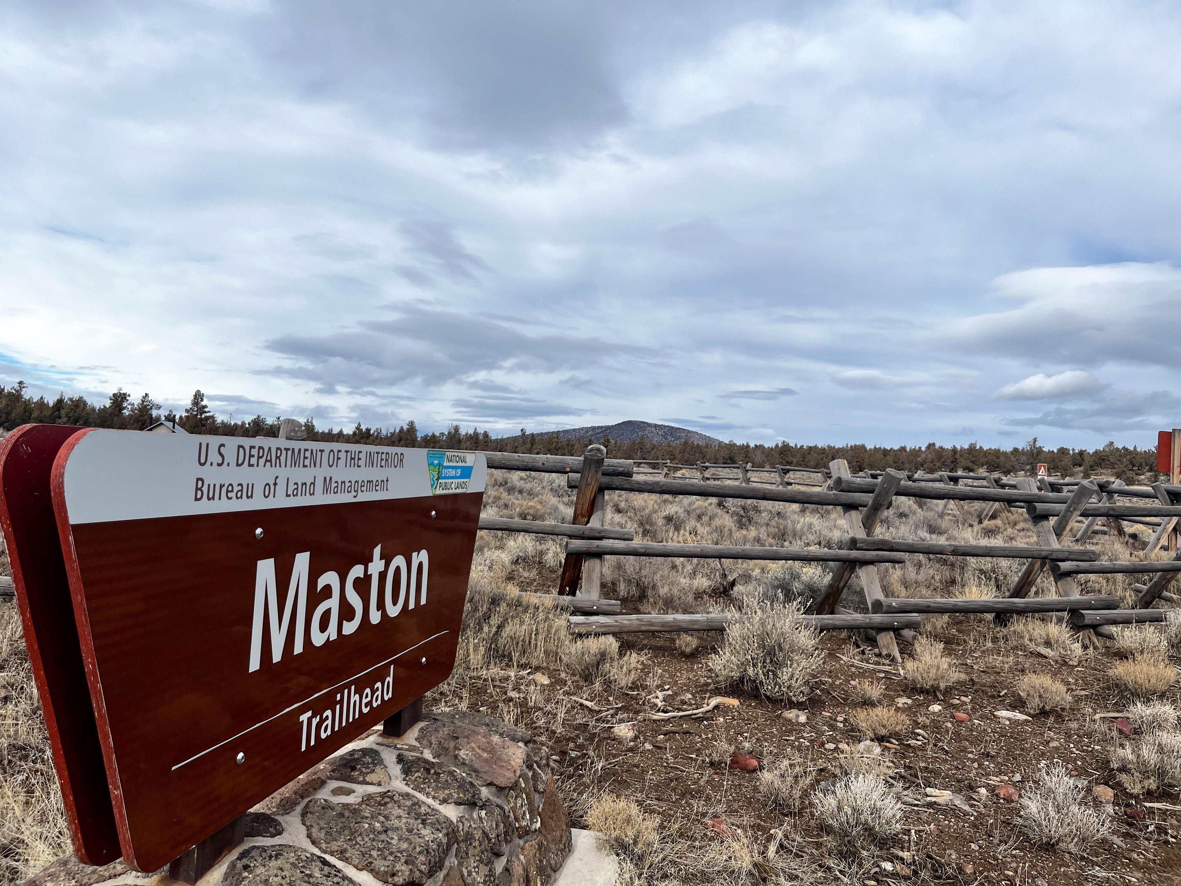
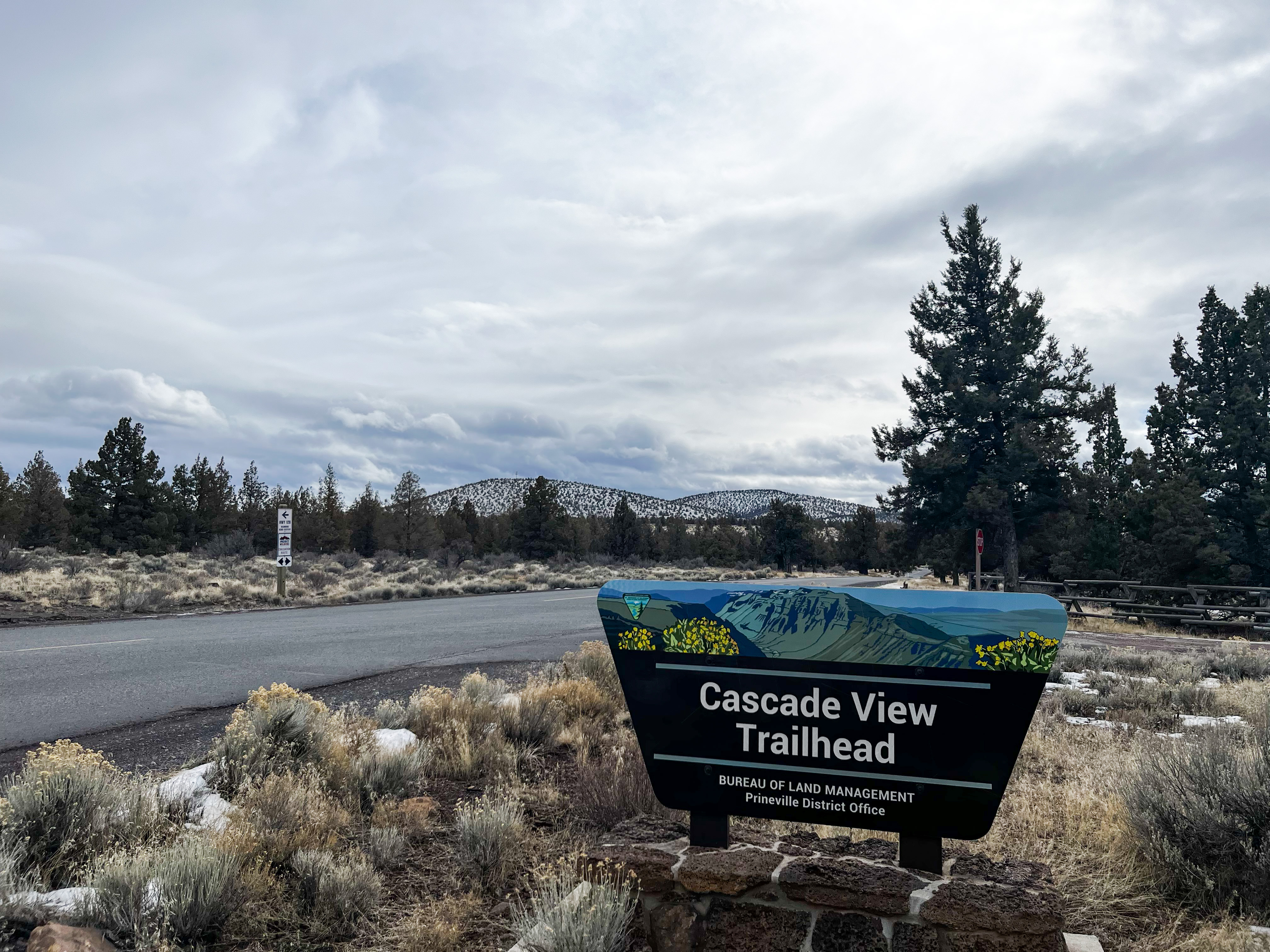
Maston, which is right across the highway from Cline Butte, consists of green, beginner-friendly XC trails. It’s a great starting point for riders who want to get a feel for high-desert riding. As they become more comfortable and confident, they can move to Cascade View, which Brieger says has more intermediate XC riding. Compared to Maston, Cascade View has more elevation and a bit more technical terrain.
As riders progress, they can move up to Cline Butte, especially if they want to focus on descending. All told, COTA and the BLM have built the CBRA to host over 30 miles of progressive trails where a brand-new mountain biker can ride their first trail ever and ride one of the most difficult descents years later at the same trail network.
The news stinks. Why not follow Singletracks on Google News to bring more joy to your day?


0 Comments