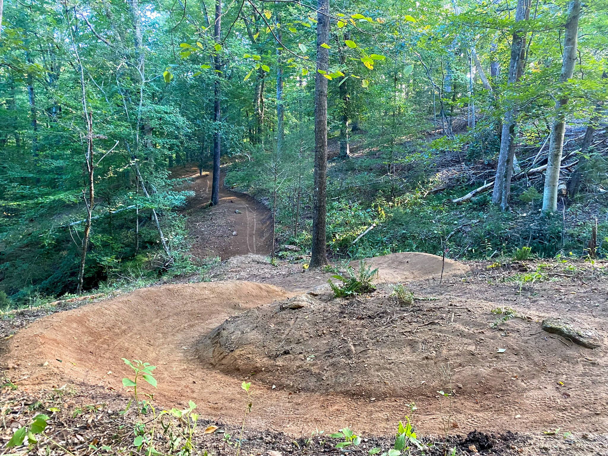
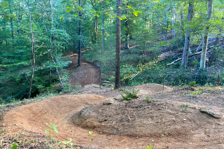
The 20-mile network at the Saluda Confluence Recreation Area (SCRA) is located just 20 minutes north of Greenville, SC, and about five minutes from the small town of Travelers Rest. Located on a 900-acre tract near the confluence of the North, South, and Middle Saluda rivers, this sustainably machine-built trail system primarily provides "well-groomed" flow-oriented beginner and intermediate trails. The focus was on easier trails, as the Greenville region already offers several fairly gnarly MTB rides. However, there is a dedicated downhill zone with five different descents: one green, two blues, and two blacks that make the most of the land's 200 feet of vertical drop.
Part of the beauty of the network is that it's been designed so riders can easily string together a long, uninterrupted ride, with minimal backtracking required. The majority of the trails are one-way directional or feature an alternating day schedule, so riders can "let it rip" when they're going downhill, without worrying about someone coming the other way. The blacks and blues are rake and ride style, with lots of rocks and roots and natural features, while the flow trails offer that smooth, rolling experience that newer riders crave. Despite being built on private land, the trails are free to ride, though riders are encouraged to make a donation to support ongoing maintenance.
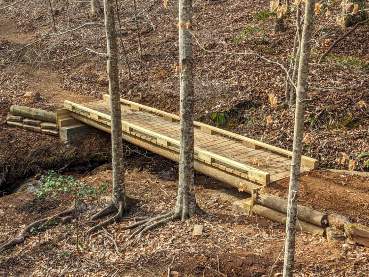
In addition to the trails themselves, the natural beauty of the landscape is a big draw. Several streams flow through the trail network, and there's great shoals on the Saluda River that add to the scenic experience. The trails are open to hikers and runners in addition to mountain bikers, but equestrians are not allowed. E-bikes are currently permitted on a trial basis. With about 10 more miles already flagged for development and plans for bridges to span the Saluda River, this trail system could eventually offer 50+ miles of singletrack, making it a true destination for riders across the Southeast

 2
2
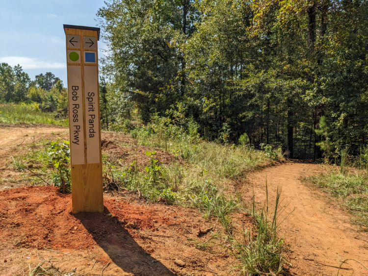
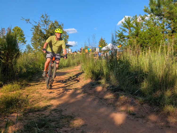
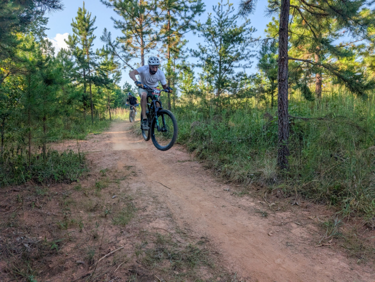
Cool new trails in Greenville! Lots of flowing, smooth mileage with some challenging rocks and switchbacks sprinkled throughout. Your mom’s house is really fast. Great signage, and it looks like more trails being opened. Parking lot was packed when I finished my ride around 9:30.
| Thank