×

|
Rate it:
Tags:
Level: Intermediate
Length: 17 mi (27.4 km)
Surface: Singletrack
Configuration: Network
Elevation: -
Total: 7 riders
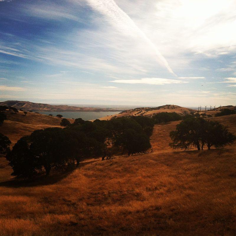
Mountain Biking Whiskey Flat / Spikes Peak
#387 of 1,015 mountain bike trails in California
go west to whiskey flat trail and climb to spikes peak cross country. continue south to mt view trail and follow to south boundry loop trail. it rained so hard the last two days and the park was very ridable. southboundry to manznota trail and finish up going through dinosaur flat trail. great rolling hills on the down hill after heading s.west from spikes peak. today had a little drizzle and rain but the trails were excellent. they were training donkeys in the park today but it did nit hinder the riding.
First added by tbone on Feb 21, 2004. Last updated Apr 30, 2020. → add an update
Before you go
- Drinking water: unknown
- Lift service: unknown
- Night riding: unknown
- Pump track: unknown
- Restrooms: unknown
- Fat bike grooming: unknown
- E-bikes allowed: unknown
- Fee required: unknown
This trail information is user-generated. Help improve this information by suggesting a correction.
pacheco park...152 to dinisaur point...


Really enjoyed this track. There's multiple tracks at this park. Great great climbs. Really challenging. Go early in the summer cuz it can be hot.
| ThankWas in the area, was definitely worth the ride. Lots of trails, nothing technical. Was very enjoyable, lot of fire roads, but lot of cow trails too. I didn't have a map, but easy to navigate around. Trails marked pretty good. I just took a trail and went. I think I would ride opposite direction next time. Did hike a bike for a bit. But little cardio is good for the lungs. I didn't see any other riders. If any one rides it on regular basis i would like to tag along
| ThankWas in the area, was definitely worth the ride. Lots of trails, nothing technical. Was very enjoyable, lot of fire roads, but lot of cow trails too. I didn't have a map, but easy to navigate around. Trails marked pretty good. I just took a trail and went. I think I would ride opposite direction next time. Did hike a bike for a bit. But little cardio is good for the lungs. I didn't see any other riders. If any one rides it on regular basis i would like to tag along
| ThankThis is a great trail for beginners (like me) who live in the central valley or by gilroy. It is all fireroad but like everyone else has noted has plenty of cow trail single track of you want to get adventurous. It features plenty of climbing and cardio but the downhill is a great reward. Bring lots of water and watch out for rattlesnakes and tarantulas.
| Thankfun rode plenty of ups and downs, climbs are worth the ride down
| ThankTake Pig pond to Canyon loop west on South Boundry north on Spikes peak the drop down west on Shadow rigde then back north on Whiskey Flat .
Good training for Noobs
| ThankTake Pig pond to Canyon loop west on South Boundry north on Spikes peak the drop down west on Shadow rigde then back north on Whiskey Flat .
Good training for Noobs
| Thank