Winberry Tie Trail climbs fairly steeply (at times through dense brush) for about 0.3 mile till it emerges onto a spur road. Turn right here and ride along this road for about 50-60 yards to its intersection with a larger gravel road. The trail continues here on the left. Continue another 0.6 miles to the intersection with Winberry Divide Trail.
The Tie Trail is all uphill, and tends to get a little overgrown with brush in places. The Divide Trail consists of a series of climbs followed by downhill sections. The trail is fairly smooth with few rocks, roots or other obstacles, although it is a little rutted from wet weather use in places. Expect lots of switchbacks and plenty of exertion. No matter which direction you are going here, it's work! The return trip is a bit easier, though. It starts and ends with fast, fun downhill runs--especially the last mile down the Tie Trail to your car. It's a little treacherous at first, but quickly turns to fairly smooth , fast downhill with some tight switchbacks and a lot of whoop-de-doos. Watch out for both of these.
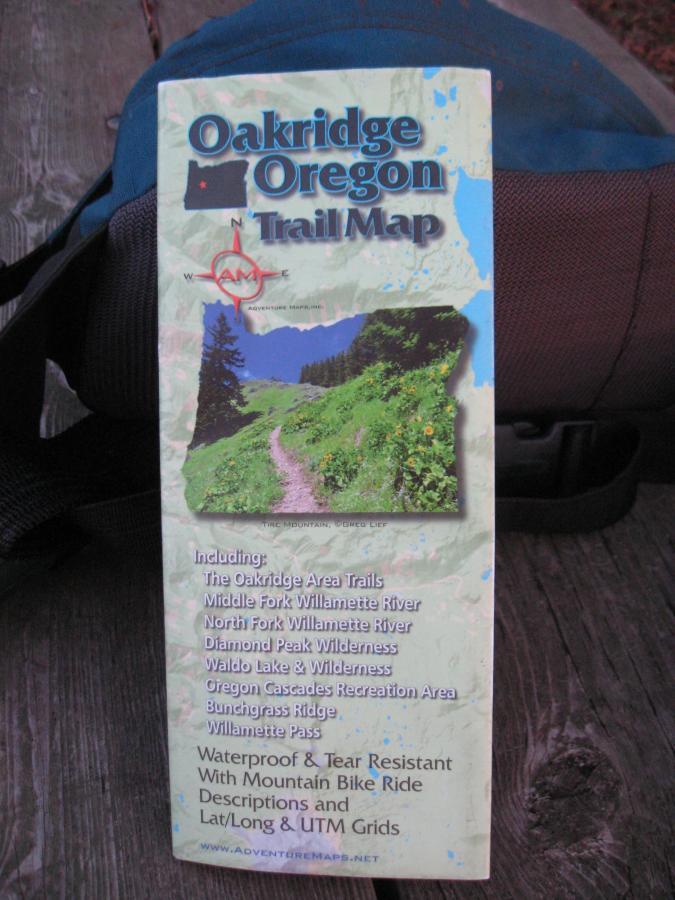
At several places the trail dumps you out on Forest Service or old logging roads. The continuations are easy to find, though, as they are never more that 100 ft. or so from where you come out. The signage is generally poor, so take a good map and compass. Also, take all the water you will need as there is none available here during the summer months.
The total pedaled elevation gain for the whole ride is nearly 4,500 ft. due to the ups and downs of the Divide Trail. The overall actual gain is considerably less, however. If, when you reach the east trailhead, you've still got the itch to go futher, continue on the Tire Mountain Trail to the mountain or beyond to Alpine Trail. Many loops, and other ride options are available. AdventureMaps and TreadMaps both describe a number of options.


I rode/hiked this 13 mile out-and-back on a dry, warm August day, and its nearly 4,500 ft. of climbing nearly wore me out. It took me 3 hours to get up, and nearly 2 to get back down. On a better day I may have ridden more, but on this day I found myself pushing my bike uphill quite a lot.
Except for a few overgrown spots in the first mile, the condition of the trail was excellent. It's very smooth and very fast on all the downhill sections. There are a ton of tight switchbacks, but otherwise not much in the way of technical challenges. The expert/black diamond rating must be due to the physically demanding climbs.
Although I'm glad I rode it once, I'll probably never ride it again--at least not from the bottom up and down. I prefer one long grind on a logging road followed by miles of payoff in the form of a long downhill run on singletrack; or milder cross-country riding.
Oddly, I didn't meet a single soul the whole way. It's odd because this is the height of the riding season in what is a premier location for MTB in the West.
If you decide to ride this this route, take a pair of cut-offs with you. There's an excellent swimming hole under a bridge 1.5 miles downstrean from the Winberry Campground. Even in August the water's really cold--I just soaked my dogs and had a cold one.* Review edited 8/28/2012
| Thank