Sometimes you just gotta go for a ride. Greg (Goo), Jeremy (GoldenGoose), and I were looking for a place to ride on Wednesday and after our first two choices – Dawson Forest (closed for hunting) and Blankets Creek (closed for wet trails) – fell through, we finally settled on Tatum Lead/Pinhoti, a route none of us had ridden before. Jeremy’s guidebook rated the 15-mile route “very difficult” and we were stoked to see what this section of the 100+ mile Pinhoti Trail had to offer.
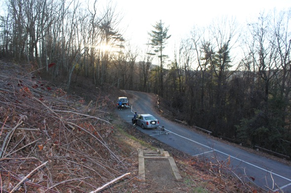
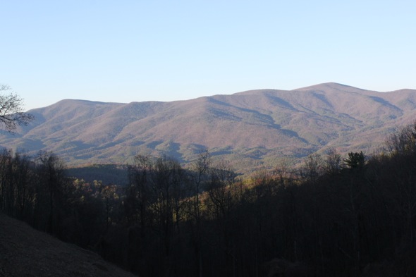
It rained all day Tuesday in Atlanta and when we arrived at the trailhead Wednesday afternoon around 1pm we could still see snow on top of the surrounding peaks (yes, snow in Georgia). The thermometer in the car read 38 degrees and with the breeze it was easily much colder. Luckily the route began climbing the paved road immediately so we were able to warm ourselves up a bit.
After climbing about 2 miles and 500 vertical feet on highway 52 we realized we missed our turn onto Tatum Lead road and ended up backtracking about a mile to the dirt road. Tatum Lead road quickly joined up with the Pinhoti Trail which at this point follows a nondescript forest road that’s open to motorized vehicles. The descent down this road was fun with small berms but I sorta dreaded climbing back up this road on our return.
At about the 3-mile mark we passed the turn-off for the Pinhoti Trail and continued on the forest road, entering the Rock Creek ATV area. Much to my surprise, the ATV trails were in great shape and flowed downhill really well. In fact, the water breaks on the descent down to Rock Creek reminded me of some of the groomed DH trails at Northstar, albeit much wider and without the sculpted, banked turns. Sadly the downhill was over quickly and we began our ascent back up the road toward the Pinhoti trail.
For the next two miles or so the Pinhoti Trail follows Peeples Lake Road which was mostly flat as it follows Baker Branch creek. This area was full of makeshift campsites and roads leading in several directions but fortunately the trail is well marked. We crossed Baker Branch creek at least 4-5 times and after the first few crossings I resigned myself to cold, wet feet for the rest of the ride.
From Peeples Lake Road the trail started getting steep – too steep for us to ride in some spots. All told we climbed over 800 feet in just a mile and a half on this section. At the top of the climb we joined back up with our previous route and kept climbing back toward Tatum Lead Road.
On the way back we turned off Tatum Lead road before the highway, staying on the Pinhoti Trail, where we found some of the best riding of the day! The trail quickly left the wide gravel road and lead into some great singletrack cut into the side of the hill. This section only lasted about a mile before returning to highway 52 but it was definitely the highlight of the trip.
At the end of the day we rode about 17 miles with 2,800 feet of climbing which ain’t too shabby. The Pinhoti trail continues past the spot where we parked and it was tempting to keep riding the singletrack but with the sun setting it was starting to get even colder. Not to worry – I’m sure we’ll be back soon to explore even more!


