Scouting, locating, riding, and logging 29 mountain bike trails in 29 days has meant spending a lot of time on singletracks.com for me (even more than usual – shocking!). Before I talk about trail #29 (spoiler alert: I rode it yesterday) I want to highlight some of the tools I used to plan my 29 trail adventure.
Singletracks Trailhead Map

Before the 29 day challenge began, I started with the trailhead map on singletracks and centered my search on Atlanta (as shown in the screenshot above). I tried to pick a good mix of new and old trails, close and far trails, and short and long trails. After viewing photos and reading ratings and descriptions, I narrowed my list down to about 40 potential trails. I also checked my trail wishlist to see which ones I could add to the list.
Singletracks Mobile Website
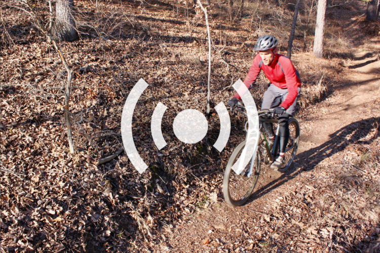
Since I was on the road a good bit during the challenge, I found myself using singletracks mobile A TON. The “nearby trails” function helped me navigate quickly to the trail pages I needed where I could then check-in at the trailhead and update trail conditions. In the past I’ve been bad about updating trail statuses on the main website because I’d usually forget by the time I got home, but having the ability to do it at the trailhead was super convenient. At this time of year, current trail statuses are super helpful to everyone worried about rain/snow on the trail – so be sure to update whenever you can!

I also used the mobile website to get driving directions to many of the trailheads along the way. Although I printed out directions before leaving home most days, I found it much easier to navigate using my phone. Normally I’d use the GPS in my car but many trailheads don’t have a proper street address to input. On my iPhone I just clicked the “map” link on the trail listing, then selected “Current Location” for my starting point and Google Maps did the rest.
Singletracks Ride Log

I used the singletracks ride log to document each of my rides and input as much data as I could (temperature, climbing, etc.) about each one. The ride log gave me a good picture of my progress and even calculated summary stats for the challenge (almost 32 hours in the saddle, 8.05 miles per trail, and 7.4mph average speed). Unfortunately I wasn’t able to space out my workouts as I would have liked so I’m not sure how beneficial my “training” really was – guess I’ll see at tomorrow’s Snake Creek Gap Time Trial…
One added benefit to using the ride log is that everyone’s times and distances for each trail are averaged to give others an idea of the trail difficulty. You can find the average speed and time for each trail in the “Trail Stats” box on the main website.
Other Stuff
Of course I also reviewed each trail I rode and added photos and maps where appropriate. For those who are new to the site, we put together a tutorial on all the trail functions available on singletracks so you can get the most out of the website.
I suppose I could have gotten most of the trail info I needed for the challenge using other sites on the web but I’m pretty sure it wouldn’t have gone as smoothly and would have involved multiple searches. At the end of the day, that’s why we built singletracks – to make it easy for you to find the best mountain bike trails!