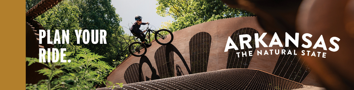


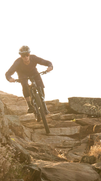
Turnbull Canyon is a popular LA area mountain bike spot located in Whittier. It’s also pretty popular with hikers, so be sure to keep your eyes open, but the mountain biking contingent here is strong!
There’s a combination of doubletrack/fireroads and singletrack out here. From the Beverly lot (the GPS location given for the trailhead), start grinding up the fireroad to the top of the ridge. Once on top, there are a number of options for some awesome descending down the front side, or you could hit up 7th street and descend down the opposite side of the ridge, but be prepared for the ride back up!
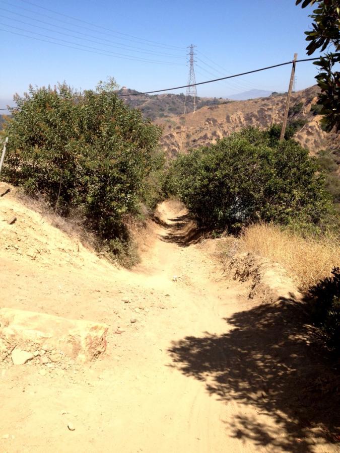
On the opposite side of Turnbull Canyon Road you’ll find some fireroads and some great singletrack—specifically, the Worsham Canyon Trail is an absolute joy to ride!
While you won’t be on singletrack the entire time you’re here, Turnbull is a great place to get in as much as 15-20 miles of legit mountain biking!
 | 7th Street | 5 mi | |
| Peppergrass | 1 mi | |
 | Sumac | 1 mi | |
| Turnbull Canyon Trail | 2 mi | |
| Worsham Canyon | 2 mi |


 6
6
Parking here stinks. I frequent these trails before when I used to be able to park on the nearby streets. Lately the residents nearby the trail entrance in Beverly Blvd. established a preferential street parking only.
| ThankGreat ride just make sure your brakes are adjusted and you let some pressure out for traction
| ThankEntrance options have narrowed which made for congested weekend traffic heading into the trail. Not as bike friendly as i remember it being in the past.
| ThankThe A-line trail and the Rattlesnake Trail are what make Turnbull Canyon so good. Minus 1 star for the inconsiderate hikers
| ThankThis was a great trail system, but it can be quite confusing. I used my phone's GPS and MTBProject to help me find the trails, but still asked people where certain features were located. A-Line is a quick singletrack downhill with a steep drop, but seems to be marked as "Mariposa" near the upper, West side of the trail. Rattlesnake is probably the highlight of the trail system, as it features really steep descents and twisting singletrack with multiple trail options. Ride this 3 or 4 times for a good workout.
Trail is probably closer to a 3.5 than a 4, but I'll round up because it can be quite fun. There are a lot of hikers and loads of fire roads to climb, but you will be rewarded if you find the right trails.
| ThankNot a hard trail, very fun and a good trail to ride, unfortunately its crowded with hikers in the mornings and has sections of destroyed asphalt that are uphill which make it kind of annoying to go up.
| ThankFun little trail that connects Hacienda Heights to the Turnbull Canyon Trails in Whittier. Lots of traffic. Fun for an urban trail.
| ThankMostly fire roads not really technical . Nice steep climbs up to 32%
| ThankI rode Worsham Canyon about a month ago and it was a pretty good short ride. I've hiked in a few areas, but I haven't rode around too much in the Whittier Hills and I live here. I only know of a few people that ride and they don't ride as much as I want to. So if you're in Whittier or heading to Whittier, hit me up.
| ThankSuper fun place to ride! Went up there for the first time today and loved it. Theres a good amount of hikers to watch out for, but other than that this place has everything! I started up the fire road at the trailhead, then went past the tower at the top and took rattlesnake down... Pretty fun switchback, lots of rocks and ruts but theres some good lines. After rattlesnake, i met back up with another fire road, pedaled back up to the tower and came down the otherside on a sick single track that spit me out on Friends Ave. Good amount of climbing but the downhill is worth it! I cant wait to come back and check out all of the other trails.
| ThankNot all that fun, but you've gotta climb it to get to the top
| ThankCrucial as a part of the climb, and part of it is a good singletrack descent.
| ThankAwesome descent!
| ThankBeautiful singletrack trail!
| ThankGreat singletrack loop that looks like it sees a lot of traffic. Awesome downhill, and awesome climbing switchbacks!
| ThankGreat trail system! The Peppergrass Trail and Worsham Canyon are both amazing! 7th street is pretty good too. Now if only there was more singletrack to climb on instead of gravel roads...
| ThankA friend of mine introduced me to this trail a few months ago. Boy did the climb kick my butt, and that's exactly what I'm looking for! The trail is in perfect shape!! I've seen a few bad reviews, but for people reading them...please notice the DATES! Not sure if it's been redone, but I have nothing to complain about! I went again yesterday with my dog, on leash, and it was a blast!! Traffic was very minimum, and those that were there were all friendly!
| ThankDoesn't matter what other trails I ride, Turnbull kicks me in the ass every time. 1.5 mile climb but the best part is coming down there are a number of ways back. Wide fire road is the main trail, but there are a number of singletracks and switchbacks to come back down
| ThankThis is my home trail, I usually like to start at the top, go over the hill and do the 7th St. loop, then up to the water tower, jam down and hit A-Side or Rattlesnake. Ridgeline is a fast one too, fun stuff. Watch out for hikers, cactus and rattlesnakes.
| ThankFireroad great for beginners. Can ride level, up, or down, your choice. Lots of places to explore and nice canyon. Traffic is light - not many bikers and hikers. * Review edited 2/19/2008
| Thank