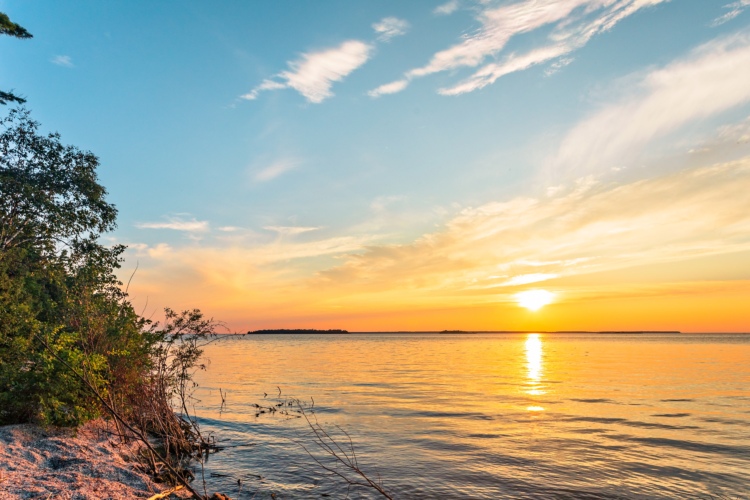
After a great day of mountain biking in Texas (you heard me: Texas!), Miniskibum and I headed east on I-40 in what would turn out to be another attempt to waste our time riding lame and uninteresting trails. Certainly, Oklahoma City would provide us with a complete waste of time, cycling wise, we thought. We’d end up bored stiff turning cranks on dreadfully lame singletrack in the middle of tornado alley. After four hours of interstate driving so flat and straight I could have safely been asleep at the wheel, we arrived in the OKC, ready to unload the bikes, pedal a few miles, and question what possessed us to bring our bikes here in the first place.

Lake Stanley Draper Mountain Bike Park
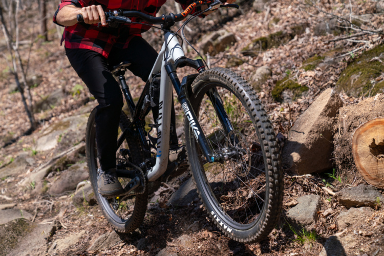
Our first stop on day two of the Turkey Time Tour de Prairie was the Lake Stanley Draper Mountain Bike Park, consisting of about 13 miles of narrow, twisty singletrack administered by Oklahoma City and maintained by the Oklahoma Earthbike Fellowship. Despite the moniker, these trails are not adjacent to the lake, but rather across an access road from it, but that’s no real loss; these are attractive woods and these trails, while tame compared to my usual trails in Colorado, make excellent use of what features this area has to offer.

As we unloaded the bikes, we were thrilled with the excellent weather: sunny and 60 with a light breeze and modest humidity, perfect for a ride. The first thing we noticed after we hit the trail was that, despite being post-Thanksgiving, these woods, especially most of the undergrowth, retained much of their greenery. This was a pleasant surprise for us, coming from an area which had been uniformly brown for over a month. The second thing we noticed was the perfectly tacky conditions the ubiquitous Oklahoma red dirt provided. Certainly our timing was good as a day or two earlier, sooner after the previous moisture fell, these trails would have been unridable as the red dirt would have been a clayey mess.

Overall elevation gain here is close to zero, but there are plenty of sizable ravines to add a little challenge, and a couple hills to provide a bit of climbing. The area is a series of stacked loops, well signed, with plenty of bail out points, so anybody can go there and tailor a ride to his/her liking. The area is anchored by the four mile, novice-friendly green loop. The first point of optional departure is the still easy, but somewhat-more-interesting Blue Loop. We ended up doing the Blue Loop twice, not so much because it was worth repeating, but rather because we were using it to access the not-yet-on-the-map Black Loop and missed the turn the first time around. The Black Loop is where the free ride features have been built, including a fairly non-threatening but challenging jump line and some elevated skinnies.

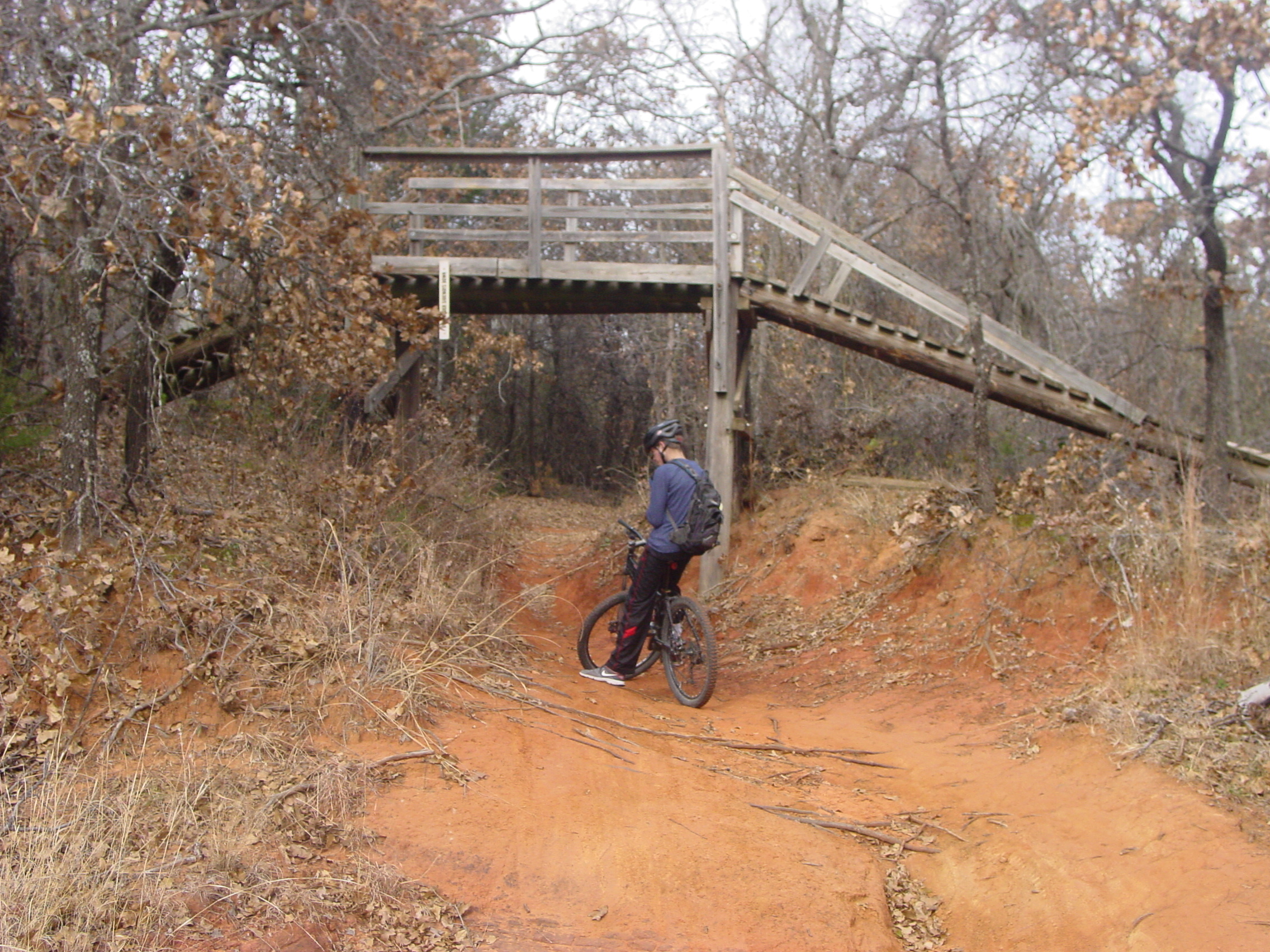
After the Blue, we headed on to the Red Loop, which was marked advanced. This is much like a run at a ski area in Ohio being marked as a black diamond—it certainly is challenging relative to the rest of the runs in Ohio, but might barely rate a blue square in Colorado. Since we understood the relative nature of that assessment and had no expectations going in, we were actually quite pleased with the loop. The red dirt was again perfect, and every possible feature, including a few exposed rock shelves, had been incorporated into the loop. After rejoining the Green Loop, we then made our way to the other “advanced” portion of Draper: the Orange Loop. Finally, we finished with the Yellow Loop, marked intermediate, but one of the longer loops at 4 miles as well as one of the more entertaining loops. At one point the trail figure-eighted upon itself, but with an over-and-under bridge rather than an intersection.
In the end, we whipped through about 14 miles of riding pretty quick, but not too quickly–pretty quick because the lack of challenge, either technical or aerobic, allowed us to maintain a good pace and not require any stops other than for picture taking, and not too quick because the trail is constantly narrow and twisting through the dense woods.
People often say that any trail can be brought to an advanced level simply by riding it faster. This isn’t necessarily so with Draper: the constant narrow twists preclude truly fast riding, so you can never really put the hammer down or get your heart rate up. While it’s a great place to work on cornering skills, it would not be so hot for a legit cross country race, but would make an excellent time trial venue.
Bluff Creek Trail

After what had been a very pleasant ride at Draper, we grabbed lunch and headed across town to the Bluff Creek Trail. Also maintained by the Oklahoma Earthbike Fellowship, this is a much smaller venue with a single, 6.5-mile loop hugging the area along its namesake waterway. Like Draper, this route featured more pleasing woods and perfectly-tacky red dirt.
The map on the OEF website claims, “This trail was built by mountain bikers for mountain bikers,” and it shows. It seems every opportunity to generate cycling fun within the natural constraints of the area was taken. The map then goes on to say, “This is not a beginners trail. If you are new to this sport, you might consider walking,“ and, “This trail may prove to be frustrating at times. Think of this trail as your classroom of learning. Ride this trail on a regular basis and you will see your bike handling skills soar to new heights.” This is also certainly true, as many moves were not novice-friendly, but there was certainly nothing a confident lower-intermediate rider couldn’t handle.

The primary challenge of the route is the preponderance, location, size, and angles of roots. Some spots require clearing multiple roots in succession, and on steep inclines coming out of ravines or the creek bed. Being able to hold a wheelie long enough to clear a couple roots about a bike length apart is very helpful, as is being able to shift weight efficiently fore and aft to weight and unweight each end of the bike where appropriate. The toughest features have sanctioned cheater lines for riders who are not up to the challenge.
The map provided names for many of the segments and features such as Beaver Leg, Enchanted Forest, Death Valley, Ho Chi Min, Bubba Loop, Big Stupid, and my personal favorite, Root of All Evil (although we’re not sure which one that was—we crossed lots of roots and none seemed significantly more heinous than the others, but it’s a cute name). Despite the technical features and tight woods, this 6 miles goes rather quickly, but is fun–this is one of those trails that just begs you to do a second lap.

Having seen some of what the Sooner State has to offer, I’m inclined to return sometime and hit some other OK trails. There are a few which look as interesting, if not more so, than these two, including Turkey Mountain, Roman Nose State Park, Lake McMurtry, Lake Murray, Lake Tom Steed, Thunderbird Lake, and 12 Miles of Hell.
Having now failed to achieve lameness riding on two plains states, we had one left to go… surely Sunday in Kansas would prove to be a waste of time. Stay tuned for the next installment to see how that went!
Want to keep up with the latest articles on Singletracks? Follow us on Twitter for up-to-the-minute updates!