Trails
Reviews
Tips
Community
Deals
Latest
Support
Trails
Find trails
Best bike trails
Destinations
Add a new trail
Reviews
Mountain bike reviews
Components
Tires
Clothing & shoes
Helmets
Accessories
Product news
Community
MTB Clubs
Races & Events
Bike Shops
Tips
Skills
Fitness & Training
Health & Nutrition
Beginners
Repair
Latest Articles
Podcast
Deals
Support Singletracks
Sign in
Create an account
About us
Newsletter signup
Trails
Mountain bike trails.
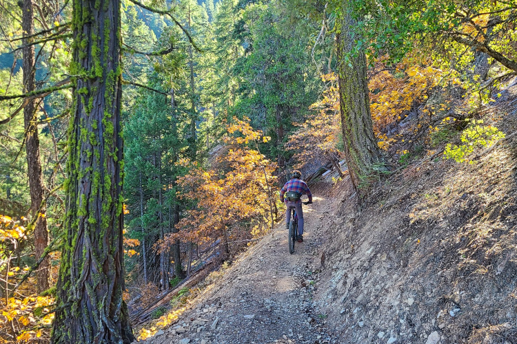
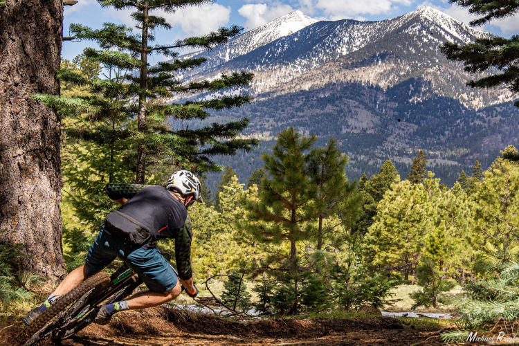
Arizona
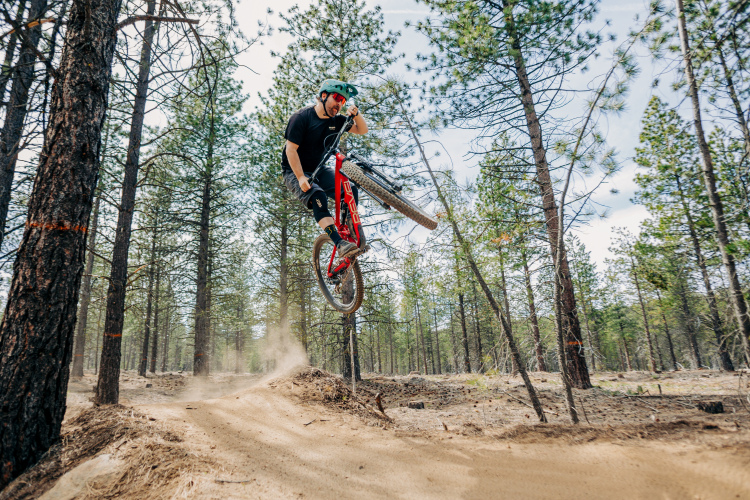
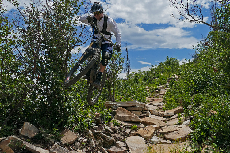
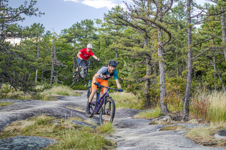
Flagstaff's new downhill MTB trails will offer 1,200 feet of vert and legitimize an infamous illegal trail
Pennsylvania
Ridgway, Pennsylvania, is getting 10 miles of new MTB trails thanks to a persistent bike shop owner
1
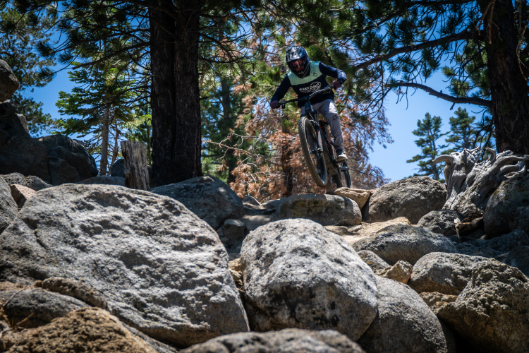
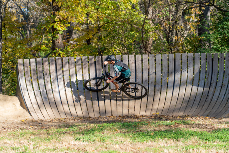
California
Bend and Tahoe have opened 273 miles of trails to e-bikes
6
Montana
The Marshall Mountain land deal almost killed Missoula MTB, but sparked a trail building boom instead
7
Arizona
I rode in 8 countries and 12 states in 2025. Here are the best MTB trails I explored
9
Tennessee
After public outcry, Enterprise South in Chattanooga, TN will remain open to mountain bikers
1
Nevada
Sky Tavern built a first-class bike park near Reno, NV, in less than 4 years
1
Iowa
Linn County, Iowa, built a $400K gravity park and demand has exceeded all expectations
Mountain Bike Trails
Will you ride mountain bikes more or less in 2026?
11
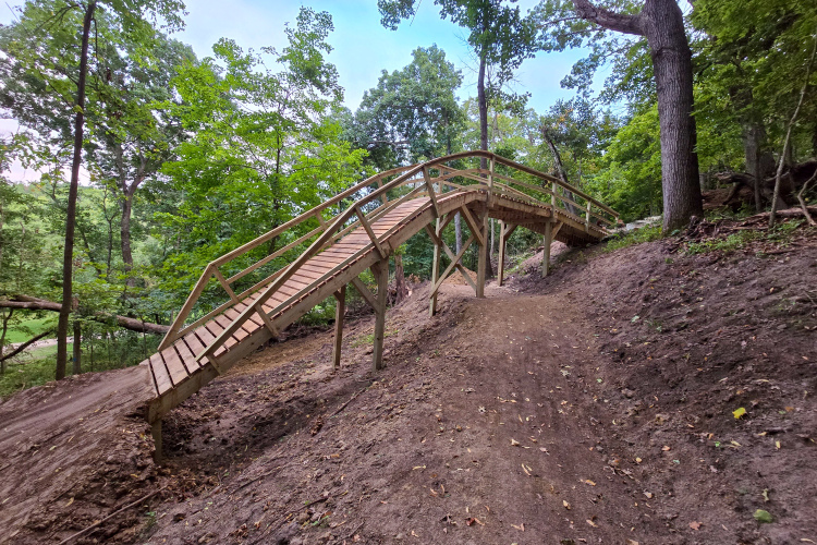
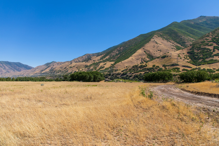
Utah
New bike park coming to Mapleton, Utah, with $5 million in funding and 100+ miles of trails planned
1
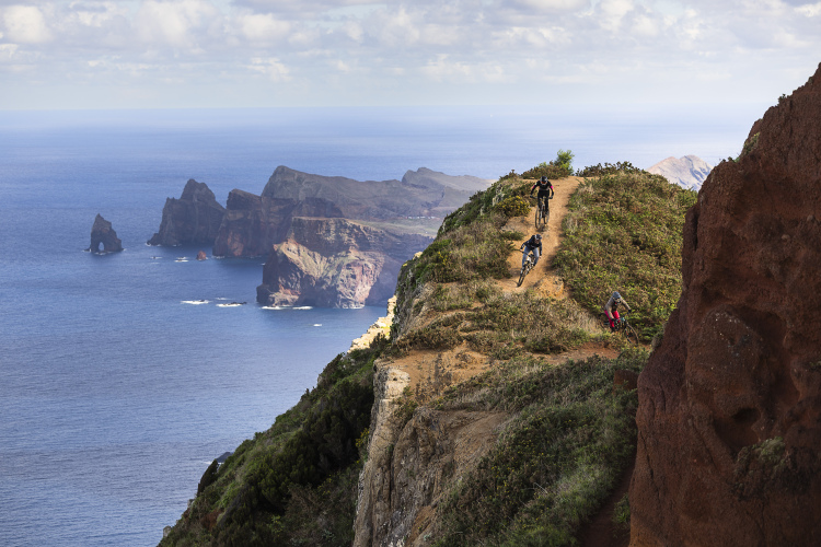
Portugal
Mountain biking Madeira: Inside Portugal's year-round trail riding paradise
1
Mountain Bike Trails
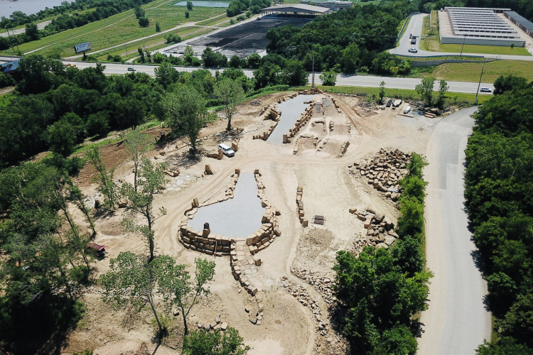
Trail Armor is the carpet-like material that could revolutionize trail maintenance
8
Colorado
New bike-optimized beginner flow trail opens at Bear Creek Lake Park near Denver, CO
3
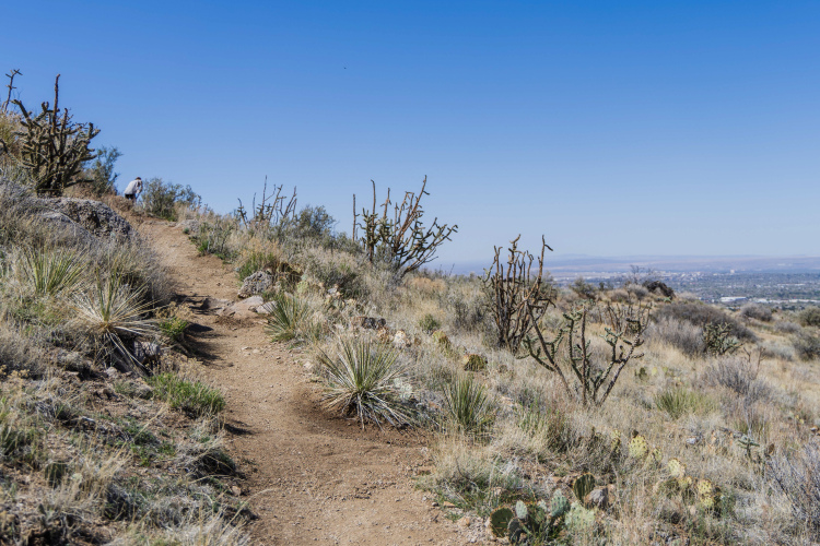
New Mexico
Albuquerque's new Volcano View trail is the first of 25 miles planned for West Mesa
2
Colorado
Highway to Hell: Steamboat's new 3.5-mile downhill trail features massive rock armoring and jump lines
1
Colorado
The Golden Gravel Trail is an all-new 3,700-mile gravel route from the Oregon Coast to the Mississippi River
2
Rhode Island
Rhode Island's first flow trails are coming to Echo Lake in 2026
2
Arizona
9 of the best mountain bike trails built in North America in 2025
2
Mountain Bike Trails
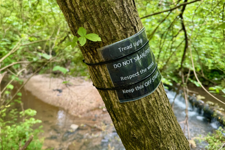
Do you keep any trails that you ride a secret?
7
Wyoming
Cheyenne, WY, bought a 22,000-acre ranch. Now, they're building 30 miles of MTB trails
1
Colorado
Delta, CO, is planning an all-new trail system with up to 100 miles of singletrack
3
Idaho
Panhandle Bike Ranch suing Idaho county after officials blocked bike park opening despite approvals
17
Ontario
In less than a decade, Huntsville, Ontario, went from zero MTB trails to a riding destination
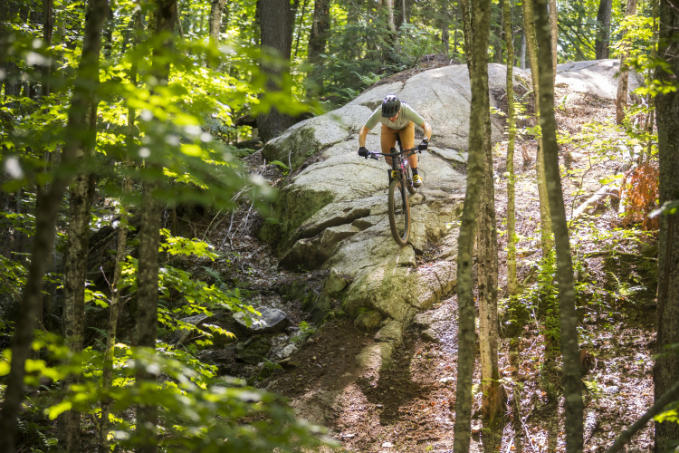
Vermont
5 of the best mountain bike trails in Vermont
2
British Columbia
How Kamloops, BC, generates $18 million per year from mountain biking
3
Washington
The Evergreen MTB Alliance is building 35 miles of MTB trails in Washington's Methow Valley
2
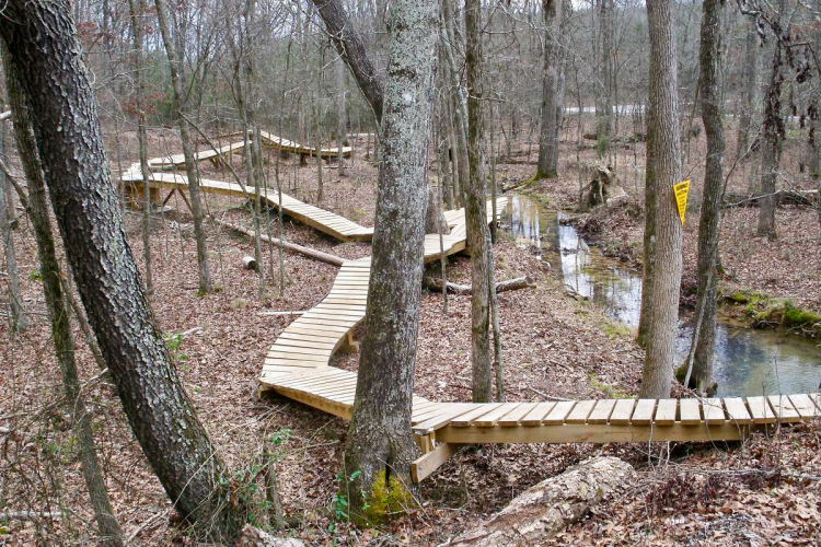
New York
The East Branch Trails in New York's Adirondacks added 4 new MTB trails in 2025
Nebraska
The Tranquility Park MTB Trails in Omaha, Nebraska, are closing until July 2027
2
California
Connected Communities completes first town-to-town singletrack link in California's Sierra Nevada
6
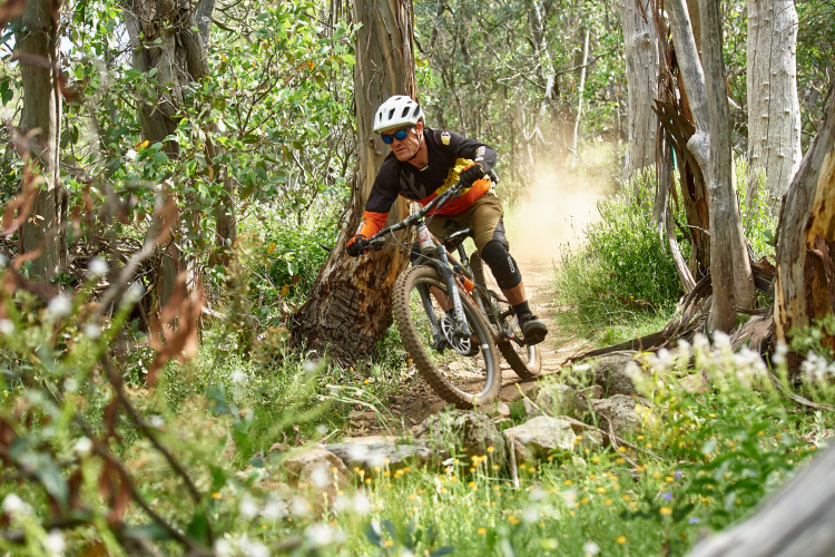
Victoria
For the first time in 7 years, Mt Buller, Australia, will spin its lifts for mountain bikers
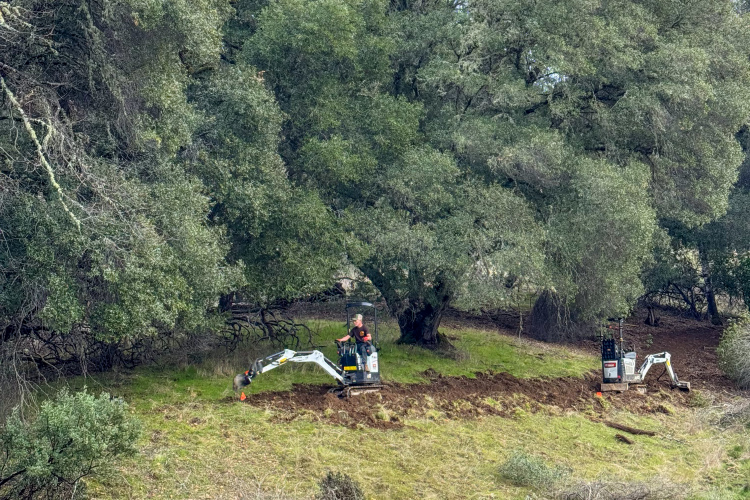
California
Lookout Peak in Ukiah, CA, will soon boast 22 miles of MTB trails
3
North Carolina
Foothills Watershed in Old Fort, NC, is expanding with 5 miles of new jump lines and tech trails
Mountain Bike Trails
Could soaring insurance costs kill Oregon's bike parks?
15
Ohio
Cincinnati is building a 934-mile network of MTB trails and greenways
7
Ontario
5 of the best mountain bike trails in Ontario
8
Mountain Bike Trails
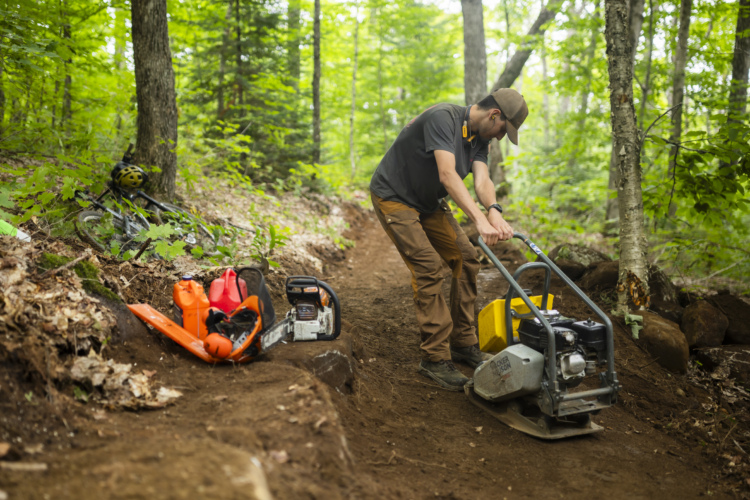
MTB trail builders have gone from pirates to professionals. And now, it's a true career
2
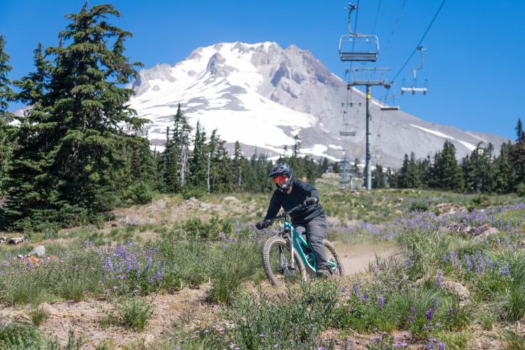
Oregon
At Anthony Lakes in eastern Oregon, a mountaintop yurt provides front-door access to purpose-built MTB trails
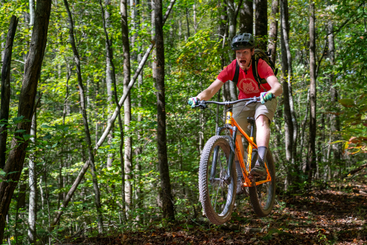
Oklahoma
Turkey Mountain's new $2 million Rock Yard has the biggest MTB jump lines in Oklahoma
Michigan
Why mountain bikers keep returning to this remote Michigan trail system
1
Vermont
Waterbury, Vermont, makes an astonishing $1 million per year from visiting mountain bikers
2
Sponsored
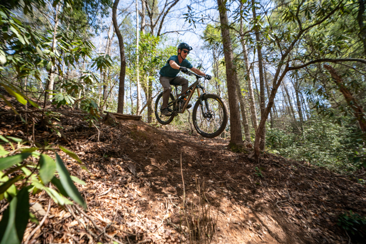
The best mountain biking trails in Brevard, NC
4
Mountain Bike Trails
Do you prefer out-and-back trails or loops?
17
Vermont
Vermont's long-distance Velomont trail will grow by over 100 miles
2
South Dakota
Sioux Falls, SD, is making the most of its limited topography with new MTB trails
1
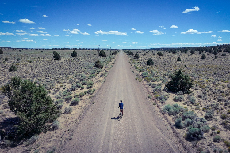
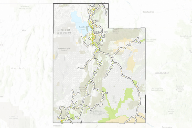
Utah
Utah's new 3,100-mile bicycle 'interstate system' will let you ditch the car and pedal to the MTB trails
3
Vermont
Vermont's newest trail system is coming to Rooney Farm in Stowe
1
Wisconsin
Mt. Telemark in Cable, WI, transforms from abandoned ski hill to modern MTB park
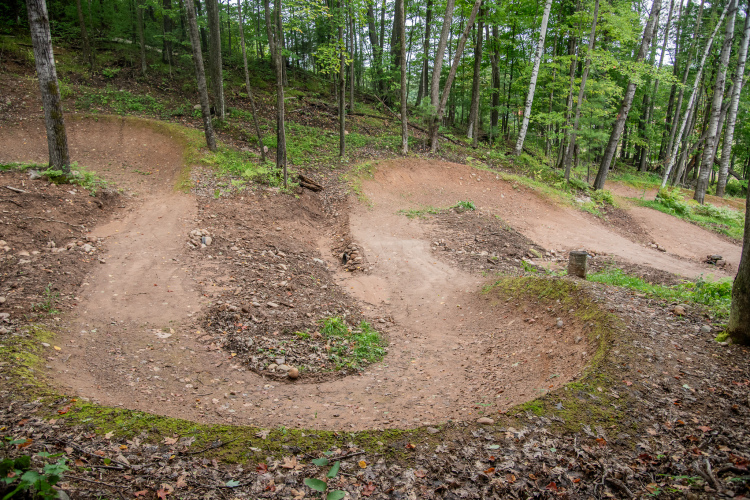
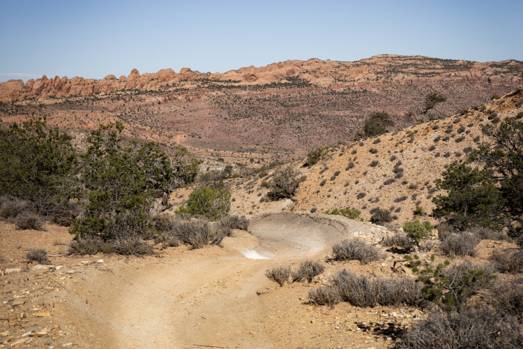
3
Utah
Moab is getting its first berms in 2026
4
«
1
2
3
4
5
…
48
»
 1
1