5 miles of Off Road Vehicle trails that are also frequented by mountain
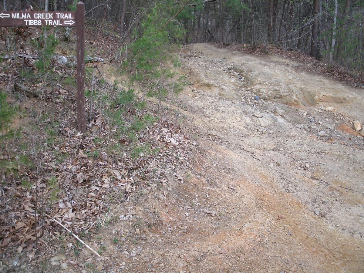
bikers in search of pain and suffering. Approximately 2 miles south of the
trailhead, the Milma Creek trail enters Tibbs from the West. The majority of
mtb riders only ride this top 2 mile section of Tibbs as part of a loop that
includes Milma, Windy Gap, and a short section of FS 68. As an uphill climb,
this 2 mile upper section is a huge challenge, even for people with lungs
and legs of steel. It's pretty technical with tons of goat heads but choosing
the correct line up will certainly make the task easier. As a downhill, this is
a blazing fast, bring the armor and hold on to your butt ride. Those
"easier" lines you had riding up...good luck finding them heading downhill at
a high rate of speed. This one will be a real teeth rattler. For the riders
who decide to venture south on Tibbs past the Milma Creek trail, Tibbs
keeps dishing out the speed and fun for another 3 miles but the conditions
get a lot smoother. Unfortunately, the lower section of the trail doesn't
continue all the way down the mountain. Tibbs stops about 1/4 mile short
of Old CCC Camp Road on private property. If you choose to ride all the
way down, you're going to have to figure out a way to get back up the hill
as well. Choose wisely. A fun way to shuttle Tibbs would be to start at the
trailhead off FS 68 and ride south, make a right on Milma Creek trail, then
make a left on Windy Gap and ride to the Windy Gap southern
trailhead/parking lot.


The upper 1.5mi of Tibbs has been blocked off by the forest service. You can still ride from Old CCC camp road to 0.5mi past the intersection with Milma. It's a bummer because it was the best mtb route up to the top of mtn. You could go up Windy Gap but I find that to be too difficult. The remaining section is mostly smooth except for the 0.5mi section above Milma.
| ThankVery gnarly, washed out ORV descent. The rocks and gullies here are huge! Made the mistake of riding down this on my 29er hardtail... If I did it again, I'd definitely bring the all mountain rig. This is a never-ending technical onslaught that is guaranteed to test your suspension, brakes, and forearms.
| ThankWould be a fun techy decent downhill. Made the mistake of going uphill. Was at least a 30% grade with a bunch of rocks.
| ThankIf you are looking for a technically challenging ride, you've found your spot. No matter which direction you you choose to ride it, this one will make you pick your lines carefully. Be aware that there are a couple of sections that branch off from the main trail and head sideways along the mountainside. Ride them if you like but don't get lost. The main trail at Tibbs runs the mountain north to south. If you come to an intersection and aren't sure which path to take, look for the one that flows up and down hill. If Tibbs had a southern trailhead, these would have gotten a 5 star rating.
| Thank