×

|
Rate it:
Tags:
Level: Intermediate
Length: 10 mi (16.1 km)
Surface: Singletrack
Configuration: Network
Elevation: +219/ -223 ft
Total: 14 riders
Mountain Biking Thompson Dam
#24 of 113 mountain bike trails in Connecticut
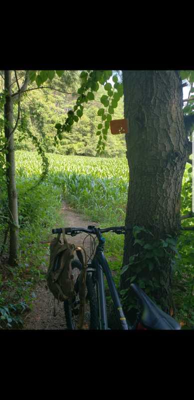
Some double track but usually with people with dogs. Well marked single tracks with plenty of switchbacks and elevation changes. Reasonably difficult and fun.
First added by jbrown5870 on Sep 26, 2011. Last updated May 1, 2020. → add an update
Before you go
- Drinking water: unknown
- Lift service: unknown
- Night riding: unknown
- Pump track: unknown
- Restrooms: unknown
- Fat bike grooming: unknown
- E-bikes allowed: unknown
- Fee required: unknown
This trail information is user-generated. Help improve this information by suggesting a correction.
Rt 395 Exit 99. Right if traveling north, left if traveling south. At 4 way intersection take a right and follow rd to stop light. Travel straight. Dam will be on your left 1 mile or so. Parking areas are scattered about the entire site.


After another visit and more experience, overall a good (albeit technical) trail system, that just needs a little TLC to be great. Some trees impassable without stopping and carrying the bike, which is frustrating, because there is a lot of good cruising out there. Still can't figure out what you're supposed to do once you hit the loading dock, provided you are going clockwise around the trail, as the path seems to end.
| ThankGreat 6 miles straight away flat ride. Double track road...first half mile us rocky..then it turns real smooth!
| ThankWasn't expecting much, as I was aware the area was known for hiking, but the trail, which wraps (if you choose the long route) all the way around the lake was great. Could use a chainsaw crew at a couple of parts for pretty big trees that were down, and the rangers I ran into admitted as much.
| ThankTrail is extremely bipolar--at times you'll be crushing right along, but make sure you have a finger or two on that brake, because suddenly it will turn into a rock bed at the bottom of a slope. And there's a number of steep descents and ascents, too, and barely any of them were smooth. Second half (east side of looking at a map) was a lot of walking. I don't care who you are, parts of the trail there were not meant for two-wheeled apparatuses.
One odd part, which another reviewer mentioned, is at some point the trail spits you out onto a road, and it's not clear how you're supposed to get back onto the trail. Fortunately, another rider helped me out, but I was about to call the park rangers. This would be way on the north side.
Be cautious if it had rained recently, reason being, we haven't had a drop in at least a week, and some parts were still pretty slick.
Some parts are fun and easy, but the northeast bit is very technical with lots of boulders. Overall, it is very well maintained and a great place to ride.
| ThankSome parts are laid back but on the east side of lake Thompson gets vet technical with large boulders. Good views of the lake and farm land. All around a good ride almost all single track to circumnavigate the lake have to ride on red bridge road for about a half mile to make the trails meet.
| Thank