This trail system is an epic addition to the Sumter National Forest area trails. Amazing singletrack with great flow, tons of jumps, and fast terrain. Minimal climbing makes this a good trail for beginners while experts can test their cornering and jumping skills. Four loops at this time range in length from 5-8 miles each. Worth the drive from just about anywhere, you'll want to ride every inch of trail before you leave! Thanks SORBA!
 | Big Rock Loop | 4 mi | |
| Brown Wave | 6 mi | |
| Deep Step Loop | 5 mi | |
| Great Wall Loop | 7 mi | |
| Skinny Loop | 6 mi | |
 | Tower Loop | 4 mi |


 2
2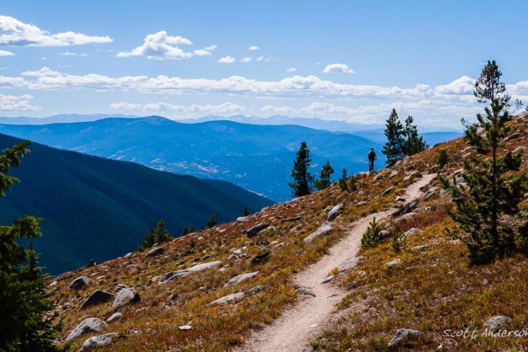

Overall I had a fun time here. There are many jumps, uphill climbs, downhill descents, and many other obstacles to take your bike on. The community is great here and everyone I saw followed the rules. I live 15 minutes away from here, and I would definitely come back over and over. 10/10!
| ThankRode all the trail system in 2 seperate rides, well marked and easy to navigate. Trails are fast and have great flow to them. Would do again if in the area.
| ThankFun flowy trail that you can really rip at speed. If you can pump well it will e that much more enjoyable. Plenty of opportunity to to catch some air off the bumps. Unfortunately for me it was 100 degrees when I rode here and on my 3rd consecutive day of riding. On this day, I first hit Great Wall, Deep Step & Skinny. By the time I got to Brown Wave I was pretty well spent and out of water. Had a blast nonetheless. Can't wait to hit this fresh.
| ThankGreat trail network, if you have the opportunity get out there and ride! SIDE NOTE- DO NOT USE THE DIRECTIONS THAT SINGLETRACKS GIVES FOR THE TRAIL HEAD. YOU WILL END UP ABOUT 20 MINUTES AWAY FROM THE ACTUAL TRAIL HEAD.
| ThankI used to live 15 minutes away from this trail. Every time I am back in the area, I've got to bring the bike. This place is well maintained, beautiful, and a TON of fun.
| ThankRode these trails April 18-19. Someone was kind enough to let me follow him on the 18th. We rode Brown Wave and Skinny clockwise. Hold onto hat because you'll be airborne if you want to be. I rode Deep Step the next day ccw. More up and down hills but still the rewards after the climbs (which wasn't to hard) were fantastic . Then Skinny ccw. These trails have some of the best flow that I have ever been on. One complaint : It rained that Sunday, I rode Wednesday and Thursday, and was surprised by the amount of mud and water in the dips. A little better slope in the drainage is needed. Did find some camping spots on the dirt roads next to the trail system. If you like fun with flow then you'll love this place.
| ThankOne of my favorite trails. It is very fast, flowy, and fun. It's in a pine forest so it gets pretty dusty with pollen in spring. Also, they do controlled burns here sometimes. You can do dispersed camping right at the trail (there are no amenities for camping) and you can camp nearby at petersburg campground near Bartram trail.
| ThankCame down from Michigan for some good weather. Rode some in Kentucky and North Carolina before making down to fats. These were the best trails we found anywhere. Well maintained fun flowing trails. Some climbing but well worth it. SORBA does a great job on these trails and should be very proud of them. Everyone was super friendly helping us feel welcome and answered all our question and were just fun to be around. We will be back again.
| ThankSuch a great trail. The flow, the rollers, the excellent trail design...as with the rest of FATS it's hard not to have fun here. And the trail is in amazing shape right now (though it pretty much always is).
| ThankA lot of fun. If you're going fast it feels more technical than the other trails, though not necessarily in the traditional sense. It's just that it's narrower in spots and it feels a little trickier to navigate (in a good way). Highly recommended.
| ThankA lot of fun. If you're going fast it feels more technical than the other trails, though not necessarily in the traditional sense. It's just that it's narrower in spots and it feels a little trickier to navigate (in a good way). Highly recommended.
| ThankRode here in August when the heat was oppressive (heat index 100 ) but I was intent on riding the 4 southern trails: Great Wall, Deep Step, Skinny and Brown Wave. These trails flow really well in a series of loops that can be ridden individually or linked together for a ~25m ride. Although all trails flow very well each has its own personality which I found enjoyable. There's PLENTY of opportunity for pumping, riding at speed, and getting some air. If you're looking for rock gardens or technical riding this is not the trail system for you and you'll likely be disappointed. However, if you want to ride with speed, practicing your pumping, launch off bumps and getting in a solid cardio workout by you'll likely leave with a big smile on your face. Great place for beginners and intermediates looking to practice their skills.
| ThankI rode Great Wall, Deep Step, Skinny and Brown Wave over the weekend. It's been a minute since I've been to these trails and even longer since I rode for fun and not to access what work needed to be done. I came away with what a great resource and I can see why there were 30 cars here both days. Everyone I saw was smiling. The trails have become slightly more technical from the roots/rocks popping up here and there. But sometimes you have to pay attention to where the more technical line is as the riders at FATS have a way of riding in the absolute easiest line everywhere. I had only a few minutes of "OK this is kinda boring from being so smooth and a ribbon a pinestraw". I actually had that thought at one point on the Great Wall Loop, but then it went away and didn't come back.
| ThankA lot tougher than their website makes it out to be. Lots of fun up and downs but some steep winding climbs that surprise you. One parking lot and trail head for multiple trails. You have about 3/4 mile spur before Skinny starts.
| ThankThis is one of my first trails I hit when I started riding in 2013 and the best to date. Very good intermediate to advance spots with lots of beautiful woods and shade. There is something for every mountain biker here.
| ThankLots of different trails for different skill levels. Some creek crossings, and some nice views of the lake from the great Wall trail. Good times and great weather
| ThankIf you want a work out ride this trail counter clockwise. If you want to have a lot of fun ride clockwise.
| ThankNice trail. A lot of opportunity to get some air. FATS always delivers a good time.
| ThankNice trail. A lot of opportunity to get some air. FATS always delivers a good time.
| ThankThis trail is really fun! Fast Flowy downs with many opportunities to launch yourself into some large pine trees. Keep in mind what goes down must go up. This trail does have some climbing involved. Nothing to serious. But will get your heat rate up a little. My favorite trail at fats!
| Thank